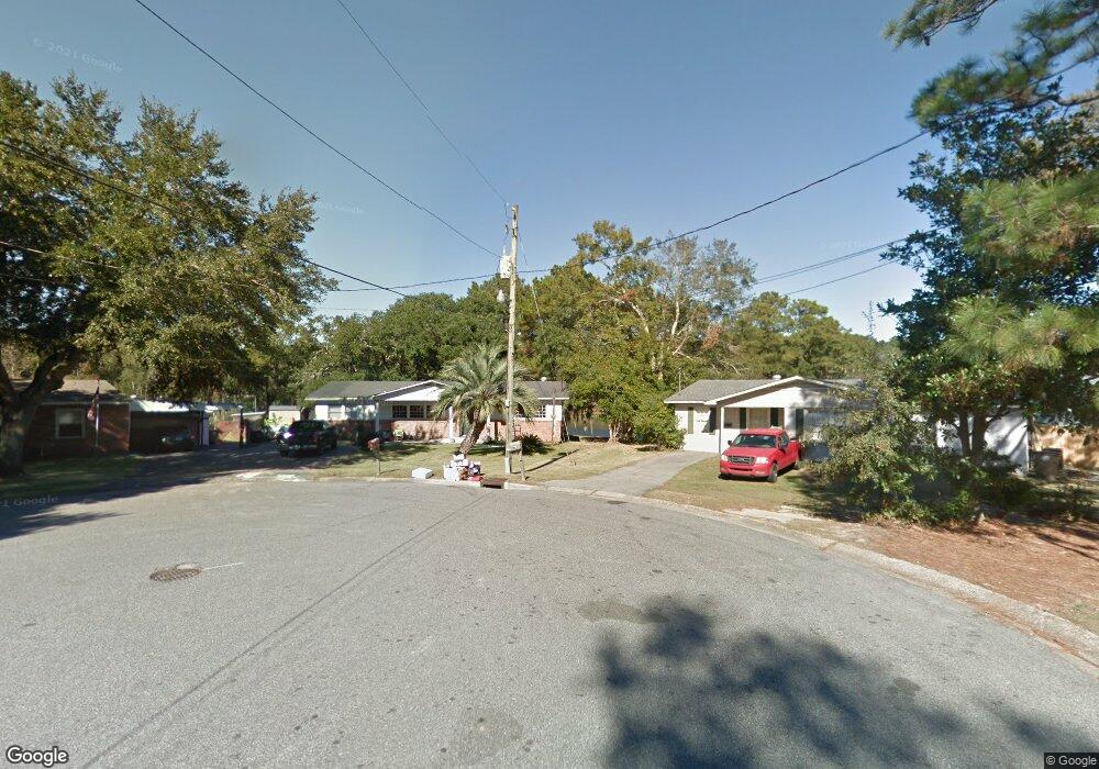
2900 Alston Ct Mobile, AL 36605
Neshota NeighborhoodEstimated Value: $125,000 - $203,000
2
Beds
2
Baths
1,431
Sq Ft
$105/Sq Ft
Est. Value
About This Home
This home is located at 2900 Alston Ct, Mobile, AL 36605 and is currently estimated at $150,963, approximately $105 per square foot. 2900 Alston Ct is a home located in Mobile County with nearby schools including Dr. Robert W. Gilliard Elementary School and Ben C Rain High School.
Ownership History
Date
Name
Owned For
Owner Type
Purchase Details
Closed on
Dec 18, 2008
Sold by
Anderson Rex H
Bought by
Anderson Sherry Oenning
Current Estimated Value
Purchase Details
Closed on
Apr 30, 2002
Sold by
Anderson Sherry L
Bought by
Anderson Rex H
Purchase Details
Closed on
Nov 18, 1999
Sold by
Martz Glenn A and Martz Janet L
Bought by
Anderson Rex H and Anderson Sherry L
Home Financials for this Owner
Home Financials are based on the most recent Mortgage that was taken out on this home.
Original Mortgage
$57,700
Interest Rate
8%
Mortgage Type
Seller Take Back
Create a Home Valuation Report for This Property
The Home Valuation Report is an in-depth analysis detailing your home's value as well as a comparison with similar homes in the area
Home Values in the Area
Average Home Value in this Area
Purchase History
| Date | Buyer | Sale Price | Title Company |
|---|---|---|---|
| Anderson Sherry Oenning | $100 | None Available | |
| Anderson Rex H | $1,500 | -- | |
| Anderson Rex H | $74,000 | -- |
Source: Public Records
Mortgage History
| Date | Status | Borrower | Loan Amount |
|---|---|---|---|
| Previous Owner | Anderson Rex H | $57,700 |
Source: Public Records
Tax History
| Year | Tax Paid | Tax Assessment Tax Assessment Total Assessment is a certain percentage of the fair market value that is determined by local assessors to be the total taxable value of land and additions on the property. | Land | Improvement |
|---|---|---|---|---|
| 2025 | $686 | $11,840 | $3,000 | $8,840 |
| 2024 | $651 | $11,290 | $3,000 | $8,290 |
| 2023 | $661 | $12,480 | $4,480 | $8,000 |
| 2022 | $686 | $11,850 | $4,000 | $7,850 |
| 2021 | $640 | $11,130 | $4,000 | $7,130 |
| 2020 | $640 | $11,130 | $4,000 | $7,130 |
| 2019 | $597 | $10,460 | $0 | $0 |
| 2018 | $597 | $10,460 | $0 | $0 |
| 2017 | $578 | $10,160 | $0 | $0 |
| 2016 | $1,278 | $20,120 | $0 | $0 |
| 2013 | -- | $17,940 | $0 | $0 |
Source: Public Records
Map
Nearby Homes
- 1715 Gulfdale Dr
- 2905 Lott Dr
- 2637 Robin Hood Dr
- 2012 Archer Ln
- 3128 Club House Rd
- 3035 Dauphin Island Pkwy
- 2753 S Lartigue Ave
- 2467 Dauphin Island Pkwy
- 2283 Cedar Point Rd
- 1550 S Lartigue Ave
- 1909 Riverside Dr
- 1550 N Lartigue Ave
- 3256 Dauphin Island Pkwy
- 3015 Cedar Crescent Dr
- 1471 Cedar Crescent Dr
- 0 Riverside Dr Unit 7530346
- 1315 South Dr
- 1517 Stewart Rd
- 2315 S Hillwood Dr
- 0 Caster St Unit 7663792
- 2902 Alston Ct
- 2904 Alston Ct
- 2905 Alston Ct
- 1804 Gulfdale Dr
- 1800 Gulfdale Dr
- 1821 Gulfdale Dr Unit 4
- 1762 Gulfdale Dr
- 1825 Gulfdale Dr
- 1817 Gulfdale Dr
- 1813 Gulfdale Dr
- 1758 Gulfdale Dr
- 2902 Gulfdale Ct
- 1754 Gulfdale Dr
- 2900 Gulfdale Ct
- 2906 Gulfdale Ct
- 1850 Jacobs Dr
- 1750 Gulfdale Dr
- 1854 Jacobs Dr
- 2901 Gulfdale Ct
- 3001 Jacobs Dr
Your Personal Tour Guide
Ask me questions while you tour the home.