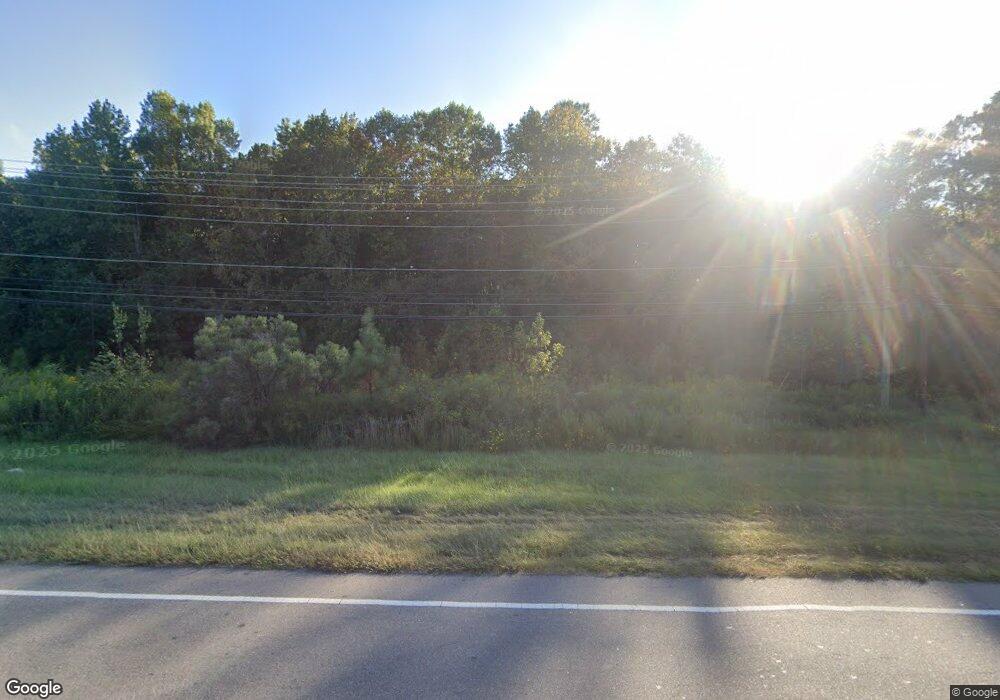
2900 E Us 70 Hwy Durham, NC 27703
Estimated Value: $422,000 - $2,245,230
3
Beds
2
Baths
1,590
Sq Ft
$820/Sq Ft
Est. Value
About This Home
This home is located at 2900 E Us 70 Hwy, Durham, NC 27703 and is currently estimated at $1,303,808, approximately $820 per square foot. 2900 E Us 70 Hwy is a home located in Durham County with nearby schools including Bethesda Elementary School, John W Neal Middle School, and Southern School of Energy & Sustainability.
Ownership History
Date
Name
Owned For
Owner Type
Purchase Details
Closed on
Nov 12, 2015
Sold by
Hudson Rodney E
Bought by
C & W Durham Investments Llc
Current Estimated Value
Home Financials for this Owner
Home Financials are based on the most recent Mortgage that was taken out on this home.
Original Mortgage
$600,000
Outstanding Balance
$472,569
Interest Rate
3.83%
Mortgage Type
Credit Line Revolving
Estimated Equity
$831,239
Create a Home Valuation Report for This Property
The Home Valuation Report is an in-depth analysis detailing your home's value as well as a comparison with similar homes in the area
Home Values in the Area
Average Home Value in this Area
Purchase History
| Date | Buyer | Sale Price | Title Company |
|---|---|---|---|
| C & W Durham Investments Llc | $1,000,000 | Attorney |
Source: Public Records
Mortgage History
| Date | Status | Borrower | Loan Amount |
|---|---|---|---|
| Open | C & W Durham Investments Llc | $600,000 |
Source: Public Records
Tax History Compared to Growth
Tax History
| Year | Tax Paid | Tax Assessment Tax Assessment Total Assessment is a certain percentage of the fair market value that is determined by local assessors to be the total taxable value of land and additions on the property. | Land | Improvement |
|---|---|---|---|---|
| 2025 | $12,662 | $1,928,912 | $1,755,000 | $173,912 |
| 2024 | $3,178 | $306,768 | $191,587 | $115,181 |
| 2023 | $3,050 | $306,768 | $191,587 | $115,181 |
| 2022 | $2,952 | $306,768 | $191,587 | $115,181 |
| 2021 | $2,691 | $306,768 | $191,587 | $115,181 |
| 2020 | $2,629 | $306,768 | $191,587 | $115,181 |
| 2019 | $2,599 | $306,768 | $191,587 | $115,181 |
| 2018 | $2,897 | $313,862 | $203,081 | $110,781 |
| 2017 | $2,803 | $313,862 | $203,081 | $110,781 |
| 2016 | $2,716 | $313,862 | $203,081 | $110,781 |
| 2015 | $2,314 | $235,582 | $123,708 | $111,874 |
| 2014 | $2,325 | $235,582 | $123,708 | $111,874 |
Source: Public Records
Map
Nearby Homes
- 3602 Appling Way
- 2411 Oleander Dr
- 3610 Long Ridge Rd
- 5014 Rolling Meadows Dr
- 4613 Angier Ave
- 5411 Suda Dr
- 1819 Hinesley Dr
- 1913 Hinesley Rd
- 1911 Hinesley Rd
- 1903 Hinesley Rd
- 1827 Hinesley Rd
- 1819 Hinesley Rd
- 910 Wood Chapel Ln
- 5226 Malik Dr
- 2018 Morehead Hill Ct
- 5225 Dilbagh Dr
- 205 Spring Flower Ln
- 2905 Scuppernong Ln
- 2701 Skybrook Ln
- 111 Lang St
- 2705 U S 70
- 2905 E Us 70 Hwy
- 2823 E Us 70 Hwy
- 2935 E Us 70 Hwy
- 2935 U S 70
- 2011 Page Rd
- 0 Us 70 Hwy Unit 690824
- 0 Us 70 Hwy Unit 831443
- 0 Us 70 Hwy Unit 843544
- 0 Us 70 Hwy Unit 796441
- 0 Us 70 Hwy Unit 796417
- 0 Us 70 Hwy Unit 891988
- 0 Us 70 Hwy Unit 831991
- 0 Us 70 Hwy Unit N TR1758348
- 0 Us 70 Hwy Unit N TR1817879
- 0 Us 70 Hwy Unit A TR1925895
- 0 Us 70 Hwy Unit B TR1925904
- 0 Us 70 Hwy Unit C TR1925914
- 0 Us 70 Hwy Unit TR1996004
- 0 Us 70 Hwy Unit 1692318
