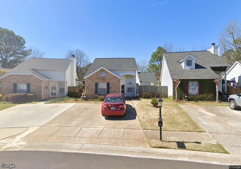
2900 Robinwood Ln Northport, AL 35476
Estimated Value: $200,000 - $252,000
2
Beds
1
Bath
1,261
Sq Ft
$175/Sq Ft
Est. Value
About This Home
This home is located at 2900 Robinwood Ln, Northport, AL 35476 and is currently estimated at $220,635, approximately $174 per square foot. 2900 Robinwood Ln is a home located in Tuscaloosa County with nearby schools including Englewood Elementary School, Hillcrest Middle School, and Hillcrest High School.
Ownership History
Date
Name
Owned For
Owner Type
Purchase Details
Closed on
Oct 13, 2021
Sold by
Hughes Laurine Price Estate
Bought by
Johnson Jessica L and Johnson Bradley S
Current Estimated Value
Home Financials for this Owner
Home Financials are based on the most recent Mortgage that was taken out on this home.
Original Mortgage
$112,000
Outstanding Balance
$102,134
Interest Rate
2.8%
Mortgage Type
New Conventional
Estimated Equity
$118,501
Create a Home Valuation Report for This Property
The Home Valuation Report is an in-depth analysis detailing your home's value as well as a comparison with similar homes in the area
Home Values in the Area
Average Home Value in this Area
Purchase History
| Date | Buyer | Sale Price | Title Company |
|---|---|---|---|
| Johnson Jessica L | $140,000 | -- |
Source: Public Records
Mortgage History
| Date | Status | Borrower | Loan Amount |
|---|---|---|---|
| Open | Johnson Jessica L | $112,000 |
Source: Public Records
Tax History Compared to Growth
Tax History
| Year | Tax Paid | Tax Assessment Tax Assessment Total Assessment is a certain percentage of the fair market value that is determined by local assessors to be the total taxable value of land and additions on the property. | Land | Improvement |
|---|---|---|---|---|
| 2024 | $919 | $23,880 | $3,500 | $20,380 |
| 2023 | $919 | $23,880 | $3,500 | $20,380 |
| 2022 | $362 | $23,880 | $3,500 | $20,380 |
| 2021 | $0 | $24,380 | $3,500 | $20,880 |
| 2020 | $0 | $10,700 | $1,750 | $8,950 |
| 2019 | $365 | $10,700 | $1,750 | $8,950 |
| 2018 | $365 | $10,700 | $1,750 | $8,950 |
| 2017 | $403 | $0 | $0 | $0 |
| 2016 | $409 | $0 | $0 | $0 |
| 2015 | $409 | $0 | $0 | $0 |
| 2014 | $409 | $11,830 | $1,750 | $10,080 |
Source: Public Records
Map
Nearby Homes
- 115 Brookside Dr
- 3801 Blackberry Ln
- 2205 18th Ave
- 3809 Blackberry Ln
- 2103 18th Ave
- 2161 Fox Ridge Rd
- 2421 21st Ave
- 3904 Blackberry Ln
- 600 Innsbruck Ct
- 555 Dollar Rd
- 2301 22nd Ave
- 2203 22nd Ave
- 1332 Independence Dr
- 2105 22nd Ave
- 905 Monarch Way
- 1514 17th Ave
- 1738 Hollow Ln
- 1402 Plymouth Ln
- 2126 Bellwood Dr
- 2407 23rd St
- 2904 Robinwood Ln
- 2832 Robinwood Ln
- 2908 Robinwood Ln
- 2901 Swallow Ln
- 2831 Swallow Ln
- 2905 Swallow Ln
- 2909 Swallow Ln
- 2824 Robinwood Ln
- 2912 Robinwood Ln
- 2913 Swallow Ln
- 2823 Swallow Ln
- 2820 Robinwood Ln
- 2916 Robinwood Ln
- 2917 Swallow Ln
- 2819 Swallow Ln
- 2825 Robinwood Ln
- 2903 Robinwood Ln
- 2815 Swallow Ln
- 2816 Robinwood Ln
- 2920 Robinwood Ln