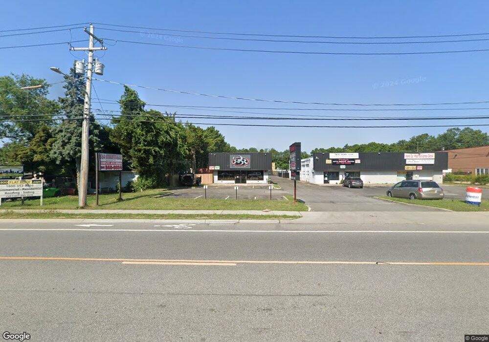
2900 Route 112 Medford, NY 11763
--
Bed
--
Bath
--
Sq Ft
0.5
Acres
About This Home
This home is located at 2900 Route 112, Medford, NY 11763. 2900 Route 112 is a home located in Suffolk County with nearby schools including Patchogue-Medford High School and Long Island Baptist Academy.
Ownership History
Date
Name
Owned For
Owner Type
Purchase Details
Closed on
Jul 25, 2017
Sold by
Bobbo Property Management Inc
Bought by
Echelon Medford Llc
Home Financials for this Owner
Home Financials are based on the most recent Mortgage that was taken out on this home.
Original Mortgage
$1,186,500
Interest Rate
3.88%
Mortgage Type
Commercial
Purchase Details
Closed on
Jul 14, 2004
Sold by
Russo Route 112 Realty Corp
Bought by
Bobbo Property Management Inc
Purchase Details
Closed on
Mar 12, 1997
Sold by
Russo Carol S and Russo Joseph F
Bought by
Russo Route 112 Realty Corp
Create a Home Valuation Report for This Property
The Home Valuation Report is an in-depth analysis detailing your home's value as well as a comparison with similar homes in the area
Home Values in the Area
Average Home Value in this Area
Purchase History
| Date | Buyer | Sale Price | Title Company |
|---|---|---|---|
| Echelon Medford Llc | $1,695,000 | None Available | |
| Bobbo Property Management Inc | $1,200,000 | Chicago Title Insurance Co | |
| Russo Route 112 Realty Corp | -- | First American Title Ins Co |
Source: Public Records
Mortgage History
| Date | Status | Borrower | Loan Amount |
|---|---|---|---|
| Closed | Echelon Medford Llc | $1,186,500 |
Source: Public Records
Tax History Compared to Growth
Tax History
| Year | Tax Paid | Tax Assessment Tax Assessment Total Assessment is a certain percentage of the fair market value that is determined by local assessors to be the total taxable value of land and additions on the property. | Land | Improvement |
|---|---|---|---|---|
| 2024 | $15,345 | $3,640 | $250 | $3,390 |
| 2023 | $15,345 | $3,640 | $250 | $3,390 |
| 2022 | $13,743 | $3,640 | $250 | $3,390 |
| 2021 | $13,743 | $3,640 | $250 | $3,390 |
| 2020 | $14,123 | $3,640 | $250 | $3,390 |
| 2019 | $14,123 | $0 | $0 | $0 |
| 2018 | $13,291 | $3,640 | $250 | $3,390 |
| 2017 | $13,291 | $3,640 | $250 | $3,390 |
| 2016 | $13,026 | $3,640 | $250 | $3,390 |
| 2015 | -- | $3,640 | $250 | $3,390 |
| 2014 | -- | $3,640 | $250 | $3,390 |
Source: Public Records
Map
Nearby Homes
- 497 Daryl Dr
- 409 Birchwood Rd
- 399 Birchwood Rd
- 392 Birchwood Rd
- 1301 Race Ave
- 1300 Race Ave
- 2816 Acorn Ave
- 603 Blue Ridge Dr
- 1401 Race Ave
- 634 W End Dr
- 673 Blue Ridge Dr
- 2905 Beechnut Ave
- 3004 New London Ave
- 1600 Fire Ave
- 3115 Chestnut Ave
- 247 Birchwood Rd
- 241 Middle Island Rd
- 3106 Devon Ave
- 49 Country Rd
- 1902 Race Ave
- 2896 Route 112
- 0 Route 112 Unit P1303693
- 0 Route 112 Unit P1239130
- 0 Route 112 Unit 11226674
- 0 Route 112 Unit ONE3518399
- 0 Route 112 Unit 11178128
- 0 Route 112 Unit ONE3479794
- 0 Route 112 Unit 3383006
- 0 Route 112 Unit P1309489
- 0 Route 112 Unit P1309484
- 0 Route 112 Unit 2878853
- 2931 Route 112
- 0 New York 112
- 156 Middle Island Rd
- 2852 Route 112
- 158 Middle Island Rd
- 242 Middle Island Rd
- 142 Middle Island Rd
- 465 Daryl Dr
- 150 Middle Island Rd