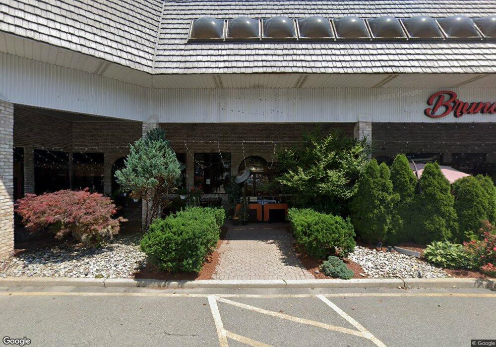
2900 State Route 10 Morris Plains, NJ 07950
Estimated Value: $18,287,666
--
Bed
--
Bath
114,095
Sq Ft
$160/Sq Ft
Est. Value
About This Home
This home is located at 2900 State Route 10, Morris Plains, NJ 07950 and is currently estimated at $18,287,666, approximately $160 per square foot. 2900 State Route 10 is a home with nearby schools including Mount Tabor School, Brooklawn Middle School, and Parsippany Hills High School.
Ownership History
Date
Name
Owned For
Owner Type
Purchase Details
Closed on
May 5, 2023
Sold by
Pineview Homes Inc
Bought by
Pelican Plaza Llc
Current Estimated Value
Home Financials for this Owner
Home Financials are based on the most recent Mortgage that was taken out on this home.
Original Mortgage
$10,000,000
Outstanding Balance
$9,718,376
Interest Rate
6.32%
Mortgage Type
New Conventional
Estimated Equity
$8,569,290
Create a Home Valuation Report for This Property
The Home Valuation Report is an in-depth analysis detailing your home's value as well as a comparison with similar homes in the area
Home Values in the Area
Average Home Value in this Area
Purchase History
| Date | Buyer | Sale Price | Title Company |
|---|---|---|---|
| Pelican Plaza Llc | $14,500,000 | None Listed On Document |
Source: Public Records
Mortgage History
| Date | Status | Borrower | Loan Amount |
|---|---|---|---|
| Open | Pelican Plaza Llc | $10,000,000 |
Source: Public Records
Tax History Compared to Growth
Tax History
| Year | Tax Paid | Tax Assessment Tax Assessment Total Assessment is a certain percentage of the fair market value that is determined by local assessors to be the total taxable value of land and additions on the property. | Land | Improvement |
|---|---|---|---|---|
| 2025 | $244,076 | $7,025,800 | $3,473,400 | $3,552,400 |
| 2024 | $198,543 | $7,025,800 | $3,473,400 | $3,552,400 |
| 2023 | $198,543 | $5,825,800 | $3,473,400 | $2,352,400 |
| 2022 | $264,011 | $5,825,800 | $3,473,400 | $2,352,400 |
| 2021 | $264,011 | $8,325,800 | $4,973,400 | $3,352,400 |
| 2020 | $256,768 | $8,325,800 | $4,973,400 | $3,352,400 |
| 2019 | $249,857 | $8,325,800 | $4,973,400 | $3,352,400 |
| 2018 | $242,780 | $8,325,800 | $4,973,400 | $3,352,400 |
| 2017 | $237,285 | $8,325,800 | $4,973,400 | $3,352,400 |
| 2016 | $233,206 | $8,325,800 | $4,973,400 | $3,352,400 |
| 2015 | $227,294 | $8,325,800 | $4,973,400 | $3,352,400 |
| 2014 | $223,964 | $8,325,800 | $4,973,400 | $3,352,400 |
Source: Public Records
Map
Nearby Homes
- 42 Flintlock Rd
- 77 S Powder Mill Rd
- 840 Mountain Way
- 62 Fernview Rd
- 83 Patriots Rd
- 104 S Powder Mill Rd
- 23 Wadsworth Dr Unit 6
- 11 Wadsworth Dr Unit 6
- 10 Wadsworth Dr Unit 2
- 7 Wadsworth Dr Unit 6
- 6 Wadsworth Dr Unit 5
- 3 Wadsworth Dr Unit 6
- 18 Birch Run Ave
- 22 General Winds Way Unit 6
- 24 General Winds Way Unit 1
- 19 Way Unit 2
- Ashton Plan at Mason Ridge
- Isleton Plan at Mason Ridge
- 16 Valley Forge Ln
- 59 Continental Rd
- 17 Granada Dr
- 19 Granada Dr
- 21 Granada Dr
- 15 Granada Dr
- 1 Waterloo Dr
- 10 Penwood Dr
- 23 Granada Dr
- 11 Granada Dr
- 20 Granada Dr
- 12 Granada Dr
- 2889 New Jersey 10 Unit 2103
- 2889 New Jersey 10 Unit 2211
- 2889 New Jersey 10 Unit 1214
- 2889 New Jersey 10 Unit 1314
- 2889 New Jersey 10 Unit 1202
- 2889 New Jersey 10 Unit 1107
- 2889 New Jersey 10 Unit 2312
- 2889 New Jersey 10 Unit 1203
- 2889 New Jersey 10 Unit 1304
- 2889 New Jersey 10 Unit 2304