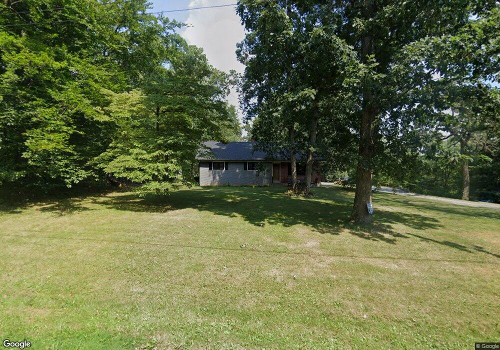
2901 Allentown Rd Quakertown, PA 18951
Milford-Quakertown NeighborhoodEstimated Value: $437,000 - $544,000
4
Beds
3
Baths
1,332
Sq Ft
$380/Sq Ft
Est. Value
About This Home
This home is located at 2901 Allentown Rd, Quakertown, PA 18951 and is currently estimated at $506,808, approximately $380 per square foot. 2901 Allentown Rd is a home located in Bucks County with nearby schools including Pfaff Elementary School, Quakertown Community Senior High School, and Providence Hybrid Academy.
Ownership History
Date
Name
Owned For
Owner Type
Purchase Details
Closed on
Jun 21, 2011
Sold by
Marks Joel
Bought by
Frey Jason A
Current Estimated Value
Home Financials for this Owner
Home Financials are based on the most recent Mortgage that was taken out on this home.
Original Mortgage
$228,068
Outstanding Balance
$163,486
Interest Rate
5.5%
Mortgage Type
FHA
Estimated Equity
$343,322
Create a Home Valuation Report for This Property
The Home Valuation Report is an in-depth analysis detailing your home's value as well as a comparison with similar homes in the area
Home Values in the Area
Average Home Value in this Area
Purchase History
| Date | Buyer | Sale Price | Title Company |
|---|---|---|---|
| Frey Jason A | $234,000 | None Available |
Source: Public Records
Mortgage History
| Date | Status | Borrower | Loan Amount |
|---|---|---|---|
| Open | Frey Jason A | $228,068 |
Source: Public Records
Tax History Compared to Growth
Tax History
| Year | Tax Paid | Tax Assessment Tax Assessment Total Assessment is a certain percentage of the fair market value that is determined by local assessors to be the total taxable value of land and additions on the property. | Land | Improvement |
|---|---|---|---|---|
| 2025 | $6,151 | $30,500 | $4,940 | $25,560 |
| 2024 | $6,151 | $30,500 | $4,940 | $25,560 |
| 2023 | $6,090 | $30,500 | $4,940 | $25,560 |
| 2022 | $5,987 | $30,500 | $4,940 | $25,560 |
| 2021 | $5,987 | $30,500 | $4,940 | $25,560 |
| 2020 | $5,987 | $30,500 | $4,940 | $25,560 |
| 2019 | $5,821 | $30,500 | $4,940 | $25,560 |
| 2018 | $5,619 | $30,500 | $4,940 | $25,560 |
| 2017 | $5,445 | $30,500 | $4,940 | $25,560 |
| 2016 | $5,445 | $30,500 | $4,940 | $25,560 |
| 2015 | -- | $30,500 | $4,940 | $25,560 |
| 2014 | -- | $30,500 | $4,940 | $25,560 |
Source: Public Records
Map
Nearby Homes
- Lot 135-003 Trolley Bridge Rd
- 0 Trolley Bridge Rd
- 7338 Grant Rd
- 2565 Allentown Rd
- 2385 W Zion Hill Rd
- 3421 Old Bethlehem Pike
- 1770 Joanne Dr
- 6551 Blue Church Rd S
- 1710 Joanne Dr
- 1525 Clay Ave
- 1500 Gable Dr
- 1321 Sheridan Rd
- 7302 Leh St
- 7555 Clayton Ave
- 7522 Clayton Ave
- 2349 Edna Ave
- 126 Ashford Dr
- 168 Ashford Dr
- 5871 Applebutter Hill
- 2905 Allentown Rd
- 2895 Allentown Rd
- 2875 Allentown Rd
- 2915 Allentown Rd
- 2890 Allentown Rd
- 2935 Allentown Rd
- 2910 Allentown Rd
- 2880 Allentown Rd
- 2920 Allentown Rd
- 2865 Allentown Rd
- 2945 Allentown Rd
- 2870 Allentown Rd
- 2940 Allentown Rd
- 2955 Allentown Rd
- 2930 Allentown Rd
- 2010 Grant Rd
- 1980 Grant Rd
- 2000 Grant Rd
- 2950 Allentown Rd
- 2965 Allentown Rd