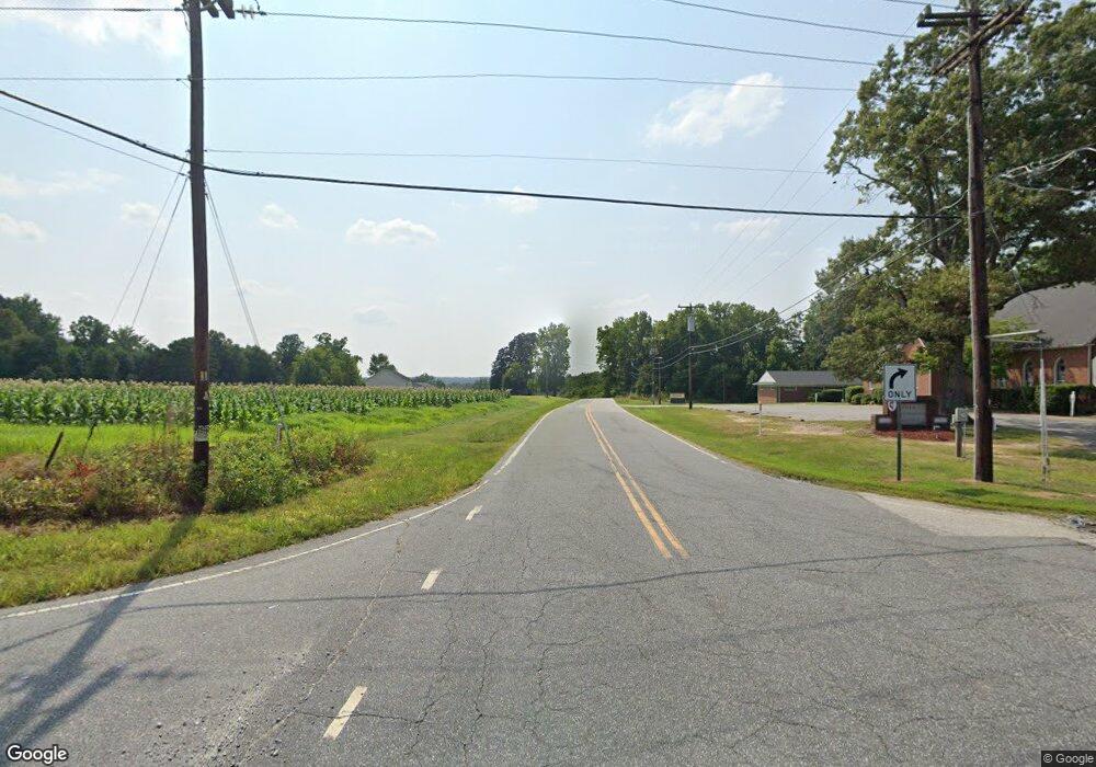
2901 E Kivett Dr High Point, NC 27260
Greater High Point NeighborhoodEstimated Value: $142,603
3
Beds
1
Bath
1,368
Sq Ft
$104/Sq Ft
Est. Value
About This Home
This home is located at 2901 E Kivett Dr, High Point, NC 27260 and is currently estimated at $142,603, approximately $104 per square foot. 2901 E Kivett Dr is a home located in Guilford County with nearby schools including Union Hill Elementary School, Jamestown Middle School, and Ragsdale High School.
Ownership History
Date
Name
Owned For
Owner Type
Purchase Details
Closed on
May 6, 2022
Sold by
Martin Bernadine W and Martin Stanley B
Bought by
Luna Felix and Alvarez Ines
Current Estimated Value
Purchase Details
Closed on
Aug 15, 2021
Sold by
Department Of Transportation
Bought by
Martin Bernadine
Purchase Details
Closed on
Jul 9, 2004
Sold by
Price Lisa Allison
Bought by
The Department Of Transportation
Purchase Details
Closed on
Oct 30, 1998
Sold by
Soroush Mohammad R and Soroush Sandra W
Bought by
Price Lisa Allison
Create a Home Valuation Report for This Property
The Home Valuation Report is an in-depth analysis detailing your home's value as well as a comparison with similar homes in the area
Home Values in the Area
Average Home Value in this Area
Purchase History
| Date | Buyer | Sale Price | Title Company |
|---|---|---|---|
| Luna Felix | $22,000 | Cecil Cecil & Barker Pa | |
| Martin Bernadine | -- | Mccracken Martin T | |
| The Department Of Transportation | -- | -- | |
| Price Lisa Allison | $55,000 | -- |
Source: Public Records
Tax History Compared to Growth
Tax History
| Year | Tax Paid | Tax Assessment Tax Assessment Total Assessment is a certain percentage of the fair market value that is determined by local assessors to be the total taxable value of land and additions on the property. | Land | Improvement |
|---|---|---|---|---|
| 2025 | $316 | $22,900 | $22,900 | -- |
| 2024 | $316 | $22,900 | $22,900 | -- |
| 2023 | $316 | $22,900 | $22,900 | -- |
| 2022 | $309 | $22,900 | $22,900 | $0 |
| 2021 | $0 | $22,900 | $22,900 | $0 |
| 2020 | $0 | $22,900 | $22,900 | $0 |
| 2019 | $0 | $0 | $0 | $0 |
| 2018 | $0 | $0 | $0 | $0 |
| 2017 | -- | $0 | $0 | $0 |
| 2016 | -- | $0 | $0 | $0 |
| 2015 | -- | $0 | $0 | $0 |
| 2014 | -- | $0 | $0 | $0 |
Source: Public Records
Map
Nearby Homes
- 737 Hendrix St
- 627 Spring Garden Cir
- 735 Hendrix St
- 3110 Wayne Ave
- 930 & 928 R1 Marlboro St
- 3304 Central Ave
- 615 Hendrix St
- 404 Hickory Chapel Rd
- 2305 Delaware Place
- 928 Marlboro St
- 3003 #REAR Oakcrest Ave
- 3011 Colony Dr
- 901 Hickory Chapel Rd
- 709 Habersham Rd
- 509 Valleybrook Dr
- 507 Valleybrook Dr
- 601 Runyon Dr
- 1514 Kingsway Dr
- 1000 Pineburr Rd
- 1111 New Hampshire Dr
- 2901 E Martin Luther King Junior Dr
- 2903 E Kivett Dr
- 821 Mark St
- 2905 E Kivett Dr
- 819 Mark St
- 820 Hendrix St
- 817 Mark St
- 820 Mark St
- 818 Hendrix St
- 815 Mark St
- 2803 E Martin Luther King jr Dr
- 2803 E Martin Luther King jr Dr
- 816 Hendrix St
- 816 Mark St
- 813 Mark St
- 814 Mark St
- 197 Spring Garden Cir
- 2806 E Kivett Dr
- 2802 E Kivett Dr
- 811 Mark St
