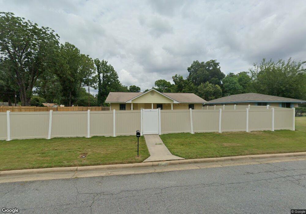
2901 Emory St Columbus, GA 31903
South Columbus NeighborhoodEstimated Value: $90,000 - $125,000
3
Beds
3
Baths
1,533
Sq Ft
$70/Sq Ft
Est. Value
About This Home
This home is located at 2901 Emory St, Columbus, GA 31903 and is currently estimated at $107,082, approximately $69 per square foot. 2901 Emory St is a home located in Muscogee County with nearby schools including South Columbus Elementary School, Eddy Middle School, and Spencer High School.
Ownership History
Date
Name
Owned For
Owner Type
Purchase Details
Closed on
Jun 6, 2017
Sold by
Federal Home Loan Mtg Corp
Bought by
Poole Norman
Current Estimated Value
Purchase Details
Closed on
May 4, 2017
Bought by
Federal National Mtg Associati
Purchase Details
Closed on
Apr 18, 2017
Bought by
Wells Fargo Bank Na
Purchase Details
Closed on
Jan 5, 2017
Bought by
Federal National Mtg Associati
Purchase Details
Closed on
Jan 3, 2017
Sold by
Vandyke Clara
Bought by
Wells Fargo Bank
Create a Home Valuation Report for This Property
The Home Valuation Report is an in-depth analysis detailing your home's value as well as a comparison with similar homes in the area
Home Values in the Area
Average Home Value in this Area
Purchase History
| Date | Buyer | Sale Price | Title Company |
|---|---|---|---|
| Poole Norman | $43,000 | -- | |
| Federal National Mtg Associati | $52,740 | -- | |
| Wells Fargo Bank Na | -- | -- | |
| Federal National Mtg Associati | $52,740 | -- | |
| Wells Fargo Bank | $52,740 | -- |
Source: Public Records
Tax History
| Year | Tax Paid | Tax Assessment Tax Assessment Total Assessment is a certain percentage of the fair market value that is determined by local assessors to be the total taxable value of land and additions on the property. | Land | Improvement |
|---|---|---|---|---|
| 2025 | $1,480 | $37,800 | $3,768 | $34,032 |
| 2024 | $1,480 | $37,800 | $3,768 | $34,032 |
| 2023 | $1,489 | $37,800 | $3,768 | $34,032 |
| 2022 | $1,175 | $28,772 | $3,768 | $25,004 |
| 2021 | $1,146 | $28,056 | $3,768 | $24,288 |
| 2020 | $1,146 | $28,056 | $3,768 | $24,288 |
| 2019 | $1,149 | $28,056 | $3,768 | $24,288 |
| 2018 | $705 | $17,200 | $2,320 | $14,880 |
| 2017 | $295 | $29,600 | $4,708 | $24,892 |
| 2016 | $296 | $28,669 | $3,915 | $24,754 |
| 2015 | $118 | $28,669 | $3,915 | $24,754 |
| 2014 | $296 | $28,669 | $3,915 | $24,754 |
| 2013 | -- | $28,669 | $3,915 | $24,754 |
Source: Public Records
Map
Nearby Homes
- 3018 Plantation Rd
- 1818 Somerset Ave
- 3015 Hendrix St
- 2058 Somerset Ave
- 2102 Somerset Ave
- 2940 Blan St
- 2848 Blan St
- 3048 Knox St
- 3433 Marathon Dr
- 3233 Hendrix St
- 2241 Bruce Ave
- 2309 Ginny Ave
- 3120 Drake St
- 2333 Bruce Ave
- 3044 Wise St
- 2720 Broadmoor Dr
- 2425 Howe Ave
- 3063 Meade St
- 2339 Manning Ave
- 2343 Manning Ave
Your Personal Tour Guide
Ask me questions while you tour the home.