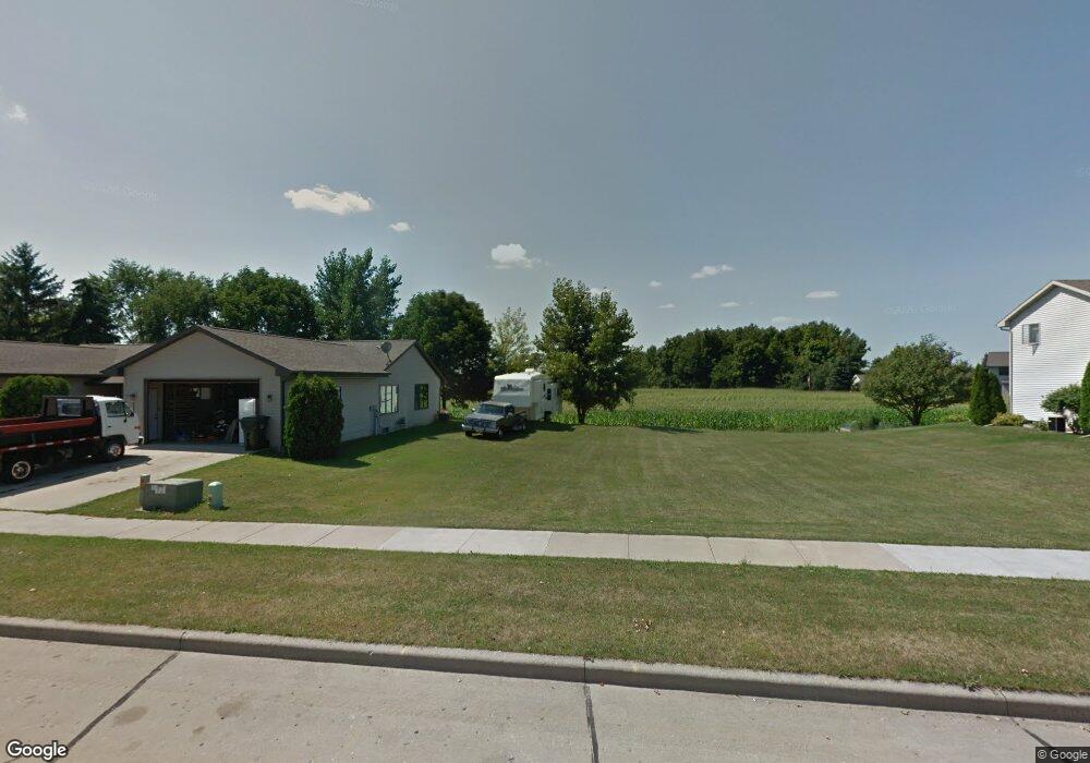
2901 Fieldcrest Dr Kaukauna, WI 54130
Estimated Value: $374,000 - $416,912
3
Beds
2
Baths
1,547
Sq Ft
$253/Sq Ft
Est. Value
About This Home
This home is located at 2901 Fieldcrest Dr, Kaukauna, WI 54130 and is currently estimated at $391,478, approximately $253 per square foot. 2901 Fieldcrest Dr is a home located in Outagamie County with nearby schools including River View School, Kaukauna High School, and New Directions Learning Community.
Ownership History
Date
Name
Owned For
Owner Type
Purchase Details
Closed on
May 12, 2022
Sold by
Dlan Oelschlager
Bought by
Dale Matthew D and Dale Holly M
Current Estimated Value
Home Financials for this Owner
Home Financials are based on the most recent Mortgage that was taken out on this home.
Original Mortgage
$315,000
Outstanding Balance
$299,377
Interest Rate
5.3%
Mortgage Type
Balloon
Estimated Equity
$92,101
Purchase Details
Closed on
Jun 29, 2018
Sold by
Quinlan Joseph M
Bought by
Oelschlaeger Dolan
Create a Home Valuation Report for This Property
The Home Valuation Report is an in-depth analysis detailing your home's value as well as a comparison with similar homes in the area
Home Values in the Area
Average Home Value in this Area
Purchase History
| Date | Buyer | Sale Price | Title Company |
|---|---|---|---|
| Dale Matthew D | $350,000 | New Title Company Name | |
| Oelschlaeger Dolan | $24,500 | -- |
Source: Public Records
Mortgage History
| Date | Status | Borrower | Loan Amount |
|---|---|---|---|
| Open | Dale Matthew D | $315,000 |
Source: Public Records
Tax History Compared to Growth
Tax History
| Year | Tax Paid | Tax Assessment Tax Assessment Total Assessment is a certain percentage of the fair market value that is determined by local assessors to be the total taxable value of land and additions on the property. | Land | Improvement |
|---|---|---|---|---|
| 2023 | $5,435 | $281,200 | $29,800 | $251,400 |
| 2022 | $5,242 | $281,200 | $29,800 | $251,400 |
| 2021 | $4,953 | $277,700 | $29,800 | $247,900 |
| 2020 | $3,768 | $163,400 | $22,900 | $140,500 |
| 2019 | $539 | $22,900 | $22,900 | $0 |
| 2018 | $540 | $22,900 | $22,900 | $0 |
| 2017 | $535 | $22,900 | $22,900 | $0 |
| 2016 | $510 | $22,900 | $22,900 | $0 |
| 2015 | $510 | $22,900 | $22,900 | $0 |
| 2014 | $509 | $22,900 | $22,900 | $0 |
| 2013 | $513 | $22,900 | $22,900 | $0 |
Source: Public Records
Map
Nearby Homes
- 3005 Crooks Ave
- 1207 Saunders Rd
- 708 Westfield St
- 2200 Sullivan Ave
- N176 Debruin Rd
- 406 E 20th St
- 592 Cornrow Ln
- 213 E 17th St
- 216 E 17th St
- 304 E 17th St
- 405 E 17th St
- 1601 Main Ave
- W2286 Valleywood Ln
- 213 Fairway St
- 1401 Main Ave
- W2313 Saint Germaine Ct
- 107 Lamine Ln
- 417 W 11th St
- 1031 Melrose Ct
- 435 Roger St
- 2817 Fieldcrest Dr
- 2909 Fieldcrest Dr
- 510 Westbreeze Ct
- 508 Westbreeze Ct
- 2917 Southbreeze Ct
- 601 Frances St
- 509 Westbreeze Ct
- 611 Frances St
- 2925 Southbreeze Ct
- 2901 Southbreeze Ct
- 2703 Fieldstone Ct
- 2701 Fieldstone Ct
- 2709 Fieldstone Ct
- 2717 Fieldstone Ct
- 2801 Fieldstone Ct
- 2812 Fieldstone Ct
- 2810 Fieldstone Ct
- 2800 Fieldstone Ct
- 2718 Fieldstone Ct
- 2700 Fieldstone Ct