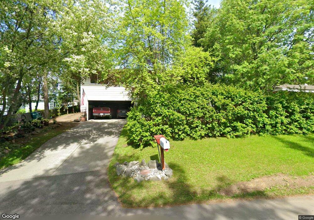
2901 Iris Dr Anchorage, AK 99517
Spenard NeighborhoodEstimated Value: $270,000 - $429,205
3
Beds
2
Baths
1,366
Sq Ft
$258/Sq Ft
Est. Value
About This Home
This home is located at 2901 Iris Dr, Anchorage, AK 99517 and is currently estimated at $352,551, approximately $258 per square foot. 2901 Iris Dr is a home located in Anchorage Municipality with nearby schools including Northwood Elementary School, Romig Middle School, and West High School.
Ownership History
Date
Name
Owned For
Owner Type
Purchase Details
Closed on
Jun 13, 2024
Sold by
Bergey Brian D
Bought by
Bman 102 Trust and Bergey
Current Estimated Value
Purchase Details
Closed on
Sep 30, 2005
Sold by
Bergey Brian D and Bergey Kathleen D
Bought by
Bergey Brian D
Create a Home Valuation Report for This Property
The Home Valuation Report is an in-depth analysis detailing your home's value as well as a comparison with similar homes in the area
Home Values in the Area
Average Home Value in this Area
Purchase History
| Date | Buyer | Sale Price | Title Company |
|---|---|---|---|
| Bman 102 Trust | -- | None Listed On Document | |
| Bergey Brian D | -- | First American Title Of Alas |
Source: Public Records
Tax History
| Year | Tax Paid | Tax Assessment Tax Assessment Total Assessment is a certain percentage of the fair market value that is determined by local assessors to be the total taxable value of land and additions on the property. | Land | Improvement |
|---|---|---|---|---|
| 2025 | $2,591 | $403,900 | $95,300 | $308,600 |
| 2024 | $2,591 | $385,500 | $95,300 | $290,200 |
| 2023 | $5,901 | $346,500 | $95,300 | $251,200 |
| 2022 | $2,329 | $338,300 | $95,300 | $243,000 |
| 2021 | $5,456 | $302,800 | $95,300 | $207,500 |
| 2020 | $1,740 | $303,500 | $95,300 | $208,200 |
| 2019 | $1,710 | $304,500 | $95,300 | $209,200 |
| 2018 | $1,481 | $290,300 | $88,300 | $202,000 |
| 2017 | $2,207 | $310,900 | $88,300 | $222,600 |
| 2016 | $3,720 | $312,400 | $82,900 | $229,500 |
| 2015 | $3,720 | $295,900 | $82,900 | $213,000 |
| 2014 | $3,720 | $276,200 | $82,900 | $193,300 |
Source: Public Records
Map
Nearby Homes
- 3105 Lakeshore Dr Unit 4062
- 4302 Forrest Rd
- 2807 Malibu Meadows Way Unit 2A
- 2831 W International Airport Rd Unit F103
- 3333 Lakeshore Dr Unit 2
- 2815 W International Airport Rd Unit B104
- NHN Northwood Dr
- 5000 Northwood Dr
- 2204 W 46th Ave
- 4000 Iowa Dr
- 2201 W 47th Ave
- 4420 Van Buren St
- 2060 Wenmatt Cir
- 3240 Wiley Post Loop
- 3517 Vintage Cir
- 1808 W 47th Ave
- 2511 Abbey Ln
- 1808 Cleveland Ave
- 4306 Hayes St
- 3605 Oregon Dr Unit 4
- 2903 Iris Dr
- 2813 Iris Dr
- 2905 Iris Dr
- 2811 Iris Dr
- 4411 Spenard Rd
- 2900 Iris Dr
- 4411 Spenard Rd
- 2902 Iris Dr
- 2809 Iris Dr
- 2907 Iris Dr
- 2904 Iris Dr
- 4505 Spenard Rd Unit C
- 4505 Spenard Rd Unit D
- 4505 Spenard Rd Unit B
- 4505 Spenard Rd Unit A
- 2810 Iris Dr
- 2906 Iris Dr
- 2806 Iris Dr
- 2805 Iris Dr
- 2825 Tundra Ct
Your Personal Tour Guide
Ask me questions while you tour the home.