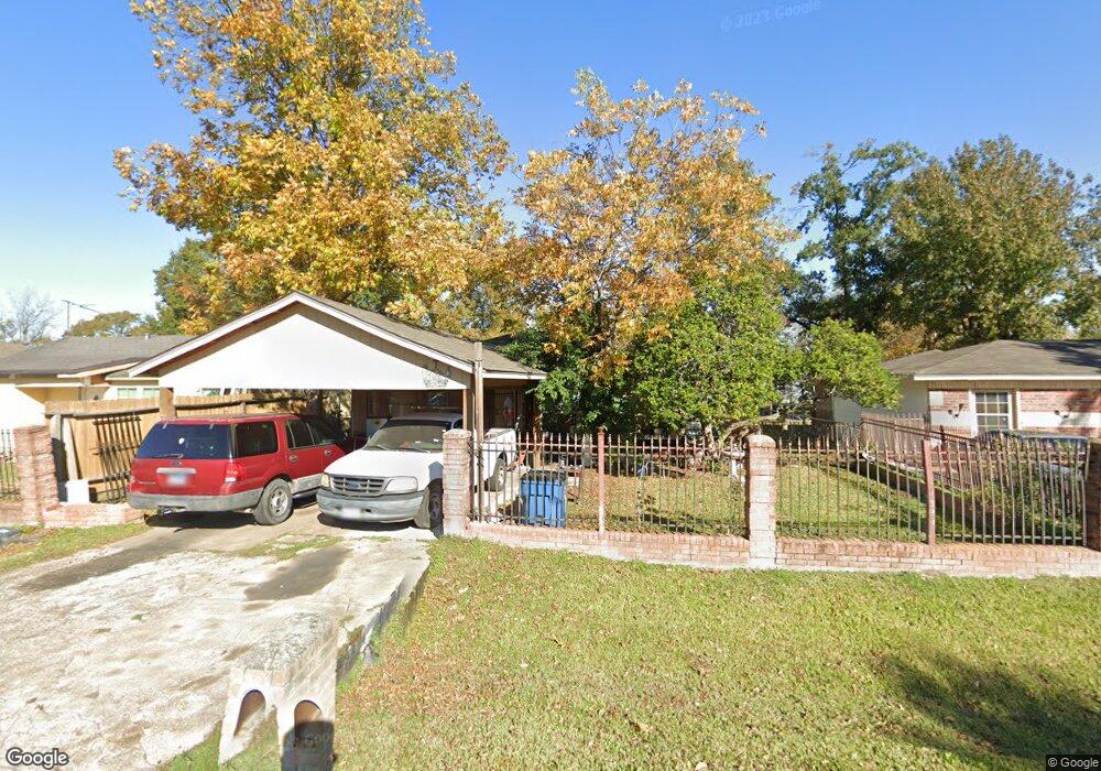
2901 Mohawk St Houston, TX 77093
East Aldine NeighborhoodEstimated Value: $162,000 - $176,000
3
Beds
1
Bath
1,092
Sq Ft
$154/Sq Ft
Est. Value
About This Home
This home is located at 2901 Mohawk St, Houston, TX 77093 and is currently estimated at $167,890, approximately $153 per square foot. 2901 Mohawk St is a home located in Harris County with nearby schools including Scarborough Elementary School, Patrick Henry Middle School, and Sam Houston Math, Science & Technology Center.
Ownership History
Date
Name
Owned For
Owner Type
Purchase Details
Closed on
May 2, 1994
Sold by
Hung H
Bought by
Mata Juan M and Mata Juana F
Current Estimated Value
Home Financials for this Owner
Home Financials are based on the most recent Mortgage that was taken out on this home.
Original Mortgage
$22,592
Interest Rate
8.49%
Mortgage Type
Purchase Money Mortgage
Create a Home Valuation Report for This Property
The Home Valuation Report is an in-depth analysis detailing your home's value as well as a comparison with similar homes in the area
Home Values in the Area
Average Home Value in this Area
Purchase History
| Date | Buyer | Sale Price | Title Company |
|---|---|---|---|
| Mata Juan M | -- | -- |
Source: Public Records
Mortgage History
| Date | Status | Borrower | Loan Amount |
|---|---|---|---|
| Previous Owner | Mata Juan M | $22,592 |
Source: Public Records
Tax History
| Year | Tax Paid | Tax Assessment Tax Assessment Total Assessment is a certain percentage of the fair market value that is determined by local assessors to be the total taxable value of land and additions on the property. | Land | Improvement |
|---|---|---|---|---|
| 2025 | $189 | $149,410 | $40,308 | $109,102 |
| 2024 | $189 | $149,410 | $40,308 | $109,102 |
| 2023 | $189 | $162,340 | $40,308 | $122,032 |
| 2022 | $1,575 | $131,575 | $30,844 | $100,731 |
| 2021 | $1,520 | $106,390 | $30,844 | $75,546 |
| 2020 | $1,437 | $92,707 | $30,844 | $61,863 |
| 2019 | $1,363 | $92,707 | $30,844 | $61,863 |
| 2018 | $191 | $57,846 | $30,844 | $27,002 |
| 2017 | $1,239 | $57,846 | $30,844 | $27,002 |
| 2016 | $1,222 | $57,846 | $30,844 | $27,002 |
| 2015 | $735 | $51,869 | $19,278 | $32,591 |
| 2014 | $735 | $51,869 | $19,278 | $32,591 |
Source: Public Records
Map
Nearby Homes
- 2909 Rosemary Ln
- 2915 Brea Crest St
- 2629 Kowis St
- 3119 Brea Crest St
- 2530 Kowis St
- 3006 Hartwick Rd
- 0 Kowis
- 2311 Warwick Rd
- 2636 Lone Oak Rd
- 2527 Lone Oak Rd
- 2523 Lone Oak Rd
- 3111 Hartwick Rd
- 2237 Cromwell St
- 2512 Lone Oak Rd
- 2506 Lone Oak Rd
- 2502 Lone Oak Rd
- 2430 Lone Oak Rd Unit 1
- 3007 Trenton Rd
- 2414 Lone Oak Rd
- 1728 Little York Rd
Your Personal Tour Guide
Ask me questions while you tour the home.