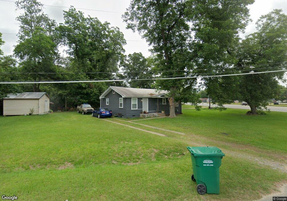
2901 Sylvester Rd Albany, GA 31705
Estimated Value: $40,000 - $67,000
2
Beds
1
Bath
1,066
Sq Ft
$52/Sq Ft
Est. Value
About This Home
This home is located at 2901 Sylvester Rd, Albany, GA 31705 and is currently estimated at $55,845, approximately $52 per square foot. 2901 Sylvester Rd is a home located in Dougherty County with nearby schools including Turner Elementary School, Albany Middle School, and Radium Springs Middle School.
Ownership History
Date
Name
Owned For
Owner Type
Purchase Details
Closed on
Feb 14, 2019
Sold by
Minix John Holt
Bought by
Mathis Jessie G
Current Estimated Value
Purchase Details
Closed on
Jun 12, 2018
Sold by
Marks David
Bought by
Minix John Holt
Purchase Details
Closed on
Jun 13, 2016
Sold by
Minix J Holt
Bought by
Marks David and Marks Teddy
Home Financials for this Owner
Home Financials are based on the most recent Mortgage that was taken out on this home.
Original Mortgage
$8,500
Interest Rate
3.57%
Mortgage Type
New Conventional
Purchase Details
Closed on
Jul 31, 1984
Sold by
Phillips John T
Bought by
Minix J Holt
Create a Home Valuation Report for This Property
The Home Valuation Report is an in-depth analysis detailing your home's value as well as a comparison with similar homes in the area
Home Values in the Area
Average Home Value in this Area
Purchase History
| Date | Buyer | Sale Price | Title Company |
|---|---|---|---|
| Mathis Jessie G | $8,000 | -- | |
| Minix John Holt | -- | -- | |
| Marks David | $10,000 | -- | |
| Minix J Holt | $26,000 | -- |
Source: Public Records
Mortgage History
| Date | Status | Borrower | Loan Amount |
|---|---|---|---|
| Previous Owner | Marks David | $8,500 |
Source: Public Records
Tax History Compared to Growth
Tax History
| Year | Tax Paid | Tax Assessment Tax Assessment Total Assessment is a certain percentage of the fair market value that is determined by local assessors to be the total taxable value of land and additions on the property. | Land | Improvement |
|---|---|---|---|---|
| 2024 | $567 | $11,880 | $2,000 | $9,880 |
| 2023 | $553 | $11,880 | $2,000 | $9,880 |
| 2022 | $556 | $11,880 | $2,000 | $9,880 |
| 2021 | $302 | $6,960 | $2,000 | $4,960 |
| 2020 | $139 | $6,960 | $2,000 | $4,960 |
| 2019 | $304 | $6,960 | $2,000 | $4,960 |
| 2018 | $468 | $10,680 | $2,000 | $8,680 |
| 2017 | $163 | $10,680 | $2,000 | $8,680 |
| 2016 | $425 | $10,400 | $2,000 | $8,400 |
| 2015 | $554 | $13,520 | $2,000 | $11,520 |
| 2014 | $547 | $13,520 | $2,000 | $11,520 |
Source: Public Records
Map
Nearby Homes
- 148 Force Dr
- 2731 Yorktown Ave
- 308 Forrestal Ln
- 2802 Banks Ave
- 3625 Sylvester Rd
- 2529 Cherokee Dr
- 100 Gurr Dr
- 2523 Cherokee Dr
- 410 Johnson Rd
- 513 Johnson Rd
- 0 Lumpkin St
- 234 Cone St
- 306 Elsom St
- 307 Acorn St
- 309 Acorn St
- 2006 Keystone Ave
- 2004 Keystone Ave
- 3431 Gladys Ct
- 2221 Duitman Rd
- 1618 Beverly Ave
- 2903 Sylvester Rd
- 106 Force Dr
- 2833 Sylvester Rd
- 2813 Sylvester Rd
- 108 Force Dr
- 101 Almond Dr
- 2811 Sylvester Rd
- 103 Almond Dr
- 110 Force Dr
- 2809 Sylvester Rd
- 105 Almond Dr
- 112 Force Dr
- 2807 Sylvester Rd
- 100 Almond Dr
- 107 Almond Dr
- 114 Force Dr
- 104 Almond Dr
- 2805 Sylvester Rd
- 109 Almond Dr
- 116 Force Dr