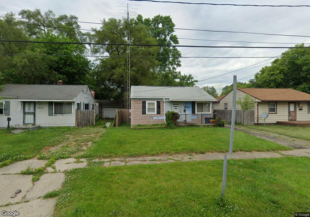
2901 Thom St Flint, MI 48506
Potter Longway NeighborhoodEstimated Value: $44,000 - $64,275
2
Beds
1
Bath
735
Sq Ft
$71/Sq Ft
Est. Value
About This Home
This home is located at 2901 Thom St, Flint, MI 48506 and is currently estimated at $51,819, approximately $70 per square foot. 2901 Thom St is a home located in Genesee County with nearby schools including Potter School, Richfield Public School Academy, and Richfield Early Learning Center.
Ownership History
Date
Name
Owned For
Owner Type
Purchase Details
Closed on
May 20, 2002
Sold by
Neurohr Michael J and Neurohr Jodeen R
Bought by
Lang Robert L and Lang Kellie L
Current Estimated Value
Purchase Details
Closed on
Nov 28, 2001
Sold by
Va
Bought by
Emigh Oliver W
Purchase Details
Closed on
Nov 19, 2001
Sold by
Hud
Bought by
Neurohr Michael J
Purchase Details
Closed on
Aug 3, 2001
Sold by
Waterfield Mtg Company Inc
Bought by
Hud
Purchase Details
Closed on
Apr 25, 2001
Sold by
Peterson Glenn A
Bought by
Waterfield Mtg Company Inc
Create a Home Valuation Report for This Property
The Home Valuation Report is an in-depth analysis detailing your home's value as well as a comparison with similar homes in the area
Home Values in the Area
Average Home Value in this Area
Purchase History
| Date | Buyer | Sale Price | Title Company |
|---|---|---|---|
| Lang Robert L | $26,000 | Guaranty Title | |
| Emigh Oliver W | -- | -- | |
| Neurohr Michael J | $12,000 | Sargents Title Company | |
| Hud | -- | -- | |
| Waterfield Mtg Company Inc | $29,665 | -- |
Source: Public Records
Tax History
| Year | Tax Paid | Tax Assessment Tax Assessment Total Assessment is a certain percentage of the fair market value that is determined by local assessors to be the total taxable value of land and additions on the property. | Land | Improvement |
|---|---|---|---|---|
| 2025 | $676 | $17,700 | $0 | $0 |
| 2024 | $623 | $14,600 | $0 | $0 |
| 2023 | $618 | $12,100 | $0 | $0 |
| 2022 | $0 | $10,000 | $0 | $0 |
| 2021 | $635 | $9,700 | $0 | $0 |
| 2020 | $584 | $7,900 | $0 | $0 |
| 2019 | $576 | $7,000 | $0 | $0 |
| 2018 | $552 | $6,400 | $0 | $0 |
| 2017 | $544 | $0 | $0 | $0 |
| 2016 | $541 | $0 | $0 | $0 |
| 2015 | -- | $0 | $0 | $0 |
| 2014 | -- | $0 | $0 | $0 |
| 2012 | -- | $8,500 | $0 | $0 |
Source: Public Records
Map
Nearby Homes
- 2925 Colorado Ave
- 3010 Wyoming Ave
- 2908 Douglas Ave
- 3018 Dakota Ave
- 3118 Wyoming Ave
- 2719 Branch Rd
- 2701 Branch Rd
- 3210 Wyoming Ave
- 2975 Henry St
- 2217 Maryland Ave
- 2426 Hoff St
- 2935 Richfield Rd
- 3314 Dakota Ave
- 2321 Levern St
- 4127 Coggins Ave
- 2211 Torrance St
- 3413 Dakota Ave
- 2506 Arlington Ave
- 3149 Whittier Ave
- 1805 Montana Ave
Your Personal Tour Guide
Ask me questions while you tour the home.