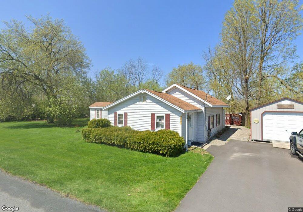
2901 Towpath Rd Weedsport, NY 13166
Estimated Value: $144,520 - $198,000
3
Beds
1
Bath
1,106
Sq Ft
$149/Sq Ft
Est. Value
About This Home
This home is located at 2901 Towpath Rd, Weedsport, NY 13166 and is currently estimated at $165,130, approximately $149 per square foot. 2901 Towpath Rd is a home located in Cayuga County with nearby schools including Weedsport Elementary School and Weedsport Junior/Senior High School.
Ownership History
Date
Name
Owned For
Owner Type
Purchase Details
Closed on
Dec 2, 2010
Sold by
Anderson John W and Anderson Marsha A
Bought by
Anderson John W
Current Estimated Value
Home Financials for this Owner
Home Financials are based on the most recent Mortgage that was taken out on this home.
Original Mortgage
$26,871
Interest Rate
4.23%
Mortgage Type
New Conventional
Purchase Details
Closed on
Sep 15, 1999
Sold by
Catalfano Shirley
Bought by
Anderson John W
Create a Home Valuation Report for This Property
The Home Valuation Report is an in-depth analysis detailing your home's value as well as a comparison with similar homes in the area
Home Values in the Area
Average Home Value in this Area
Purchase History
| Date | Buyer | Sale Price | Title Company |
|---|---|---|---|
| Anderson John W | $7,585 | Titleserv Inc | |
| Anderson John W | $35,275 | Thomas Leone |
Source: Public Records
Mortgage History
| Date | Status | Borrower | Loan Amount |
|---|---|---|---|
| Closed | Anderson John W | $26,871 |
Source: Public Records
Tax History Compared to Growth
Tax History
| Year | Tax Paid | Tax Assessment Tax Assessment Total Assessment is a certain percentage of the fair market value that is determined by local assessors to be the total taxable value of land and additions on the property. | Land | Improvement |
|---|---|---|---|---|
| 2024 | $2,334 | $65,200 | $11,500 | $53,700 |
| 2023 | $2,448 | $65,200 | $11,500 | $53,700 |
| 2022 | $2,339 | $65,200 | $11,500 | $53,700 |
| 2021 | $2,316 | $65,200 | $11,500 | $53,700 |
| 2020 | $1,672 | $65,200 | $11,500 | $53,700 |
| 2019 | $781 | $65,200 | $11,500 | $53,700 |
| 2018 | $1,549 | $65,200 | $11,500 | $53,700 |
| 2017 | $1,388 | $61,000 | $11,500 | $49,500 |
| 2016 | $1,319 | $61,000 | $11,500 | $49,500 |
| 2015 | -- | $61,000 | $11,500 | $49,500 |
| 2014 | -- | $61,000 | $11,500 | $49,500 |
Source: Public Records
Map
Nearby Homes
- 2757 Green St
- 2756 Green St
- 8914 Jackson St
- 2919 E Brutus Street Rd
- 00 Hickory Island
- 2809 Sharon St
- 2808 Sharon St
- 2653 Washington St
- 2 Hidden Greens Rd
- 2917 Ryan Rd
- 0 Clinton Rd
- 210 Henderson Ln
- 186 Henderson Ln
- 13 Middle Dr
- 0 Route 31 Unit 11065957
- 114 4th Dr
- 179 Main St
- 36 S Hamilton St
- 58 S Hamilton St
- 8137 Grant Avenue Rd
- 2895 Towpath Rd
- 2815 Dunn Rd
- 2813 Dunn Rd
- 2809 Dunn Rd
- 2805 Dunn Rd
- 2795 Dunn Rd
- 2848 Towpath Rd
- 2967 Towpath Rd
- 2887 State Route 31
- 2822 State Route 31
- 2797 State Route 31
- 2812 State Route 31
- 2814 State Route 31
- 9046 Jackson St
- 9045 Jackson St
- 2917 State Route 31
- 2810 Trombley Rd
- 9044 Jackson St
- 9043 Jackson St
- 2802 Trombley Rd