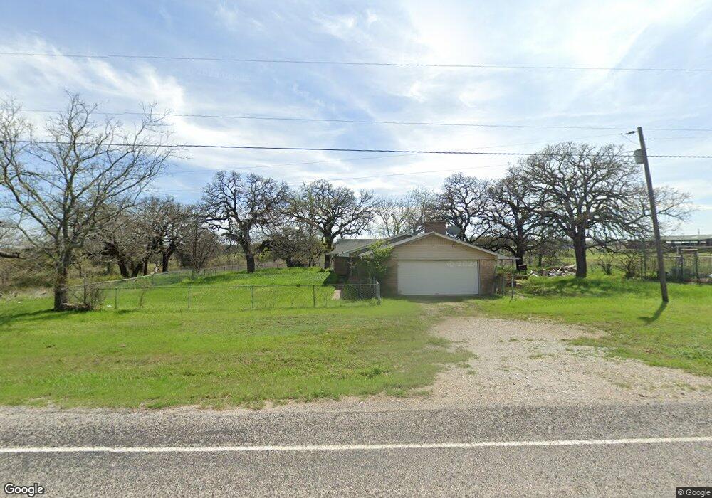
2901 W Interstate 20 Weatherford, TX 76087
Estimated Value: $291,785 - $451,000
--
Bed
--
Bath
1,655
Sq Ft
$238/Sq Ft
Est. Value
About This Home
This home is located at 2901 W Interstate 20, Weatherford, TX 76087 and is currently estimated at $393,696, approximately $237 per square foot. 2901 W Interstate 20 is a home located in Parker County with nearby schools including Brock Intermediate School, Brock Junior High School, and Brock High School.
Ownership History
Date
Name
Owned For
Owner Type
Purchase Details
Closed on
Oct 19, 2017
Sold by
Hearn Sheryl Ann and Ingram Michael Leonard
Bought by
Rlaw Practice Management Group Pllc
Current Estimated Value
Purchase Details
Closed on
Sep 5, 2013
Sold by
Ingram Vernelle P
Bought by
Ingram Vernelle P Life Estate
Purchase Details
Closed on
May 3, 1983
Sold by
Ingram Doral Leonard
Bought by
Ingram Vernelle P Life Estate
Purchase Details
Closed on
Jan 11, 1983
Sold by
Ingram Doral Leonard
Bought by
Ingram Vernelle P Life Estate
Create a Home Valuation Report for This Property
The Home Valuation Report is an in-depth analysis detailing your home's value as well as a comparison with similar homes in the area
Home Values in the Area
Average Home Value in this Area
Purchase History
| Date | Buyer | Sale Price | Title Company |
|---|---|---|---|
| Rlaw Practice Management Group Pllc | -- | None Available | |
| Ingram Vernelle P Life Estate | -- | -- | |
| Ingram Vernelle P Life Estate | -- | -- | |
| Ingram Vernelle P Life Estate | -- | -- |
Source: Public Records
Tax History Compared to Growth
Tax History
| Year | Tax Paid | Tax Assessment Tax Assessment Total Assessment is a certain percentage of the fair market value that is determined by local assessors to be the total taxable value of land and additions on the property. | Land | Improvement |
|---|---|---|---|---|
| 2025 | $2,957 | $300,420 | $174,240 | $126,180 |
| 2024 | $2,957 | $159,930 | $30,740 | $129,190 |
| 2023 | $2,957 | $159,930 | $30,740 | $129,190 |
| 2022 | $3,044 | $149,920 | $17,960 | $131,960 |
| 2021 | $3,129 | $149,920 | $17,960 | $131,960 |
| 2020 | $2,904 | $133,250 | $13,830 | $119,420 |
| 2019 | $3,062 | $133,250 | $13,830 | $119,420 |
| 2018 | $2,791 | $147,190 | $10,830 | $136,360 |
| 2017 | $2,493 | $147,190 | $10,830 | $136,360 |
| 2016 | $2,267 | $101,550 | $10,250 | $91,300 |
| 2015 | $515 | $101,550 | $10,250 | $91,300 |
| 2014 | $578 | $81,420 | $7,170 | $74,250 |
Source: Public Records
Map
Nearby Homes
- 111 Diamond Ridge Ln
- TBD Diamond Ridge Ln
- 2894 Ranger Hwy
- 2045 Eagles Ridge Dr
- 2800 Ranger Hwy
- 112 Tigers Eye Ct
- 3180 Old Brock Rd
- 330 Pack Saddle Ct
- 169 Pack Saddle Trail
- 177 Pack Saddle Trail
- TBD Old Brock Rd
- 305 Wrangler Ct
- 313 Wrangler Ct
- 121 Desperado Way
- 143 Desperado Way
- 124 Desperado Way
- 142 Wood Oak Trail
- 3380 Westridge Dr Unit B
- 3380 Westridge Dr
- 3380 Westridge Dr Unit C
- 2901 W I20 Fwy
- 2901 W I 20
- 120 Deep Wood Ln
- 124 Deep Wood Ln
- 116 Deep Wood Ln
- 128 Deep Wood Ln
- 112 Deep Wood Ln
- 132 Deep Wood Ln
- 108 Deep Wood Ln
- 123 Deep Wood Ln
- 119 Deep Wood Ln
- 2597 Roark Ln
- 127 Deep Wood Ln
- 111 Deep Wood Ln
- 104 Deep Wood Ln
- 131 Deep Wood Ln
- 115 Deep Wood Ln
- 187 Coy Rd
- 187 Coy Rd Unit sale
- 187 Coy Rd Unit 1