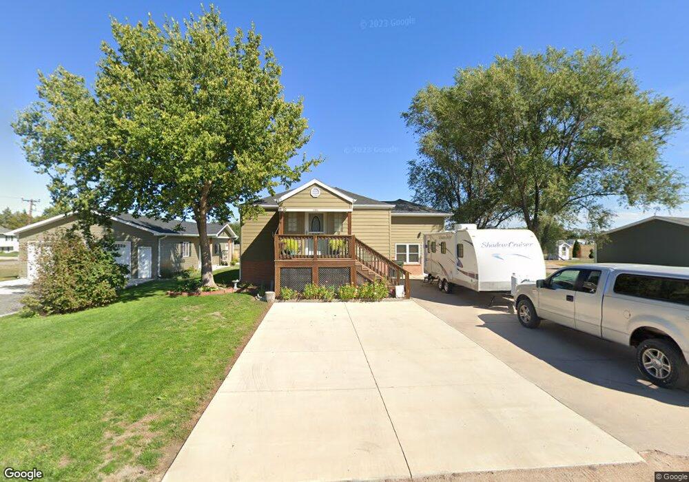
2901 Willow Wind Rd North Platte, NE 69101
Estimated Value: $218,000 - $280,000
1
Bed
1
Bath
1,106
Sq Ft
$226/Sq Ft
Est. Value
About This Home
This home is located at 2901 Willow Wind Rd, North Platte, NE 69101 and is currently estimated at $249,993, approximately $226 per square foot. 2901 Willow Wind Rd is a home located in Lincoln County with nearby schools including North Platte High School, McDaid Elementary School, and Our Redeemer Lutheran School.
Ownership History
Date
Name
Owned For
Owner Type
Purchase Details
Closed on
Feb 25, 2015
Sold by
Secretary Of Veterans Affairs
Bought by
Kramer Paul E and Kramer Diane L
Current Estimated Value
Purchase Details
Closed on
Dec 2, 2014
Sold by
Coale Atlee Vincent and Coale Corazon C
Bought by
The Secretary Of Veterans Affairs and First Mortgage Corp
Purchase Details
Closed on
Nov 6, 2012
Sold by
Lemp Eric
Bought by
Federal Home Loan Mortgge Corp
Create a Home Valuation Report for This Property
The Home Valuation Report is an in-depth analysis detailing your home's value as well as a comparison with similar homes in the area
Home Values in the Area
Average Home Value in this Area
Purchase History
| Date | Buyer | Sale Price | Title Company |
|---|---|---|---|
| Kramer Paul E | -- | None Available | |
| The Secretary Of Veterans Affairs | $44,690 | None Available | |
| Federal Home Loan Mortgge Corp | -- | None Available |
Source: Public Records
Tax History Compared to Growth
Tax History
| Year | Tax Paid | Tax Assessment Tax Assessment Total Assessment is a certain percentage of the fair market value that is determined by local assessors to be the total taxable value of land and additions on the property. | Land | Improvement |
|---|---|---|---|---|
| 2024 | $2,644 | $190,327 | $38,897 | $151,430 |
| 2023 | $2,878 | $157,819 | $15,538 | $142,281 |
| 2022 | $2,734 | $141,494 | $13,931 | $127,563 |
| 2021 | $2,639 | $136,051 | $13,395 | $122,656 |
| 2020 | $2,677 | $136,051 | $13,395 | $122,656 |
| 2019 | $1,913 | $96,785 | $13,395 | $83,390 |
| 2018 | $1,913 | $96,785 | $13,395 | $83,390 |
| 2017 | $1,847 | $93,105 | $13,395 | $79,710 |
| 2016 | $966 | $47,845 | $13,395 | $34,450 |
| 2014 | $1,329 | $51,145 | $13,395 | $37,750 |
Source: Public Records
Map
Nearby Homes
- 2901 Goldenrod Ct
- 3102 S Oak St
- 902-902 1 2 W 8th 710 N Jessie Ave Unit 902,902
- 0 N Platte Fremont Slough Development Unit 11573268
- N Platte Unit NE 69101
- 1501 W Leota St
- 0 Unit Lot
- 0 N Buffalo Bill Grass
- 0 State Farm Road Short Acreage E
- 0 Buffalo Triangle Frontage
- 0 State Farm Road Short Acreage W
- 0 S Buffalo Bill Development
- N Platte Unit NE 69101
- 2210 W Leota St
- 200 College Dr
- 1401 S Buffalo Bill Ave
- 1107 S Emory Ave
- 910 W Philip Ave
- 906 W Phillip St
- 909 W Philip Ave
- 2921 Willow Wind Rd
- 2921 Willowwind Rd
- 1220 W Eugene Ave
- 1215 W Eugene Ave
- 3001 Willow Wind Rd
- 1221 W Eugene Ave Unit 1223
- 1201 W Eugene Ave
- 2915 Ioke St
- 1121 W Eugene Ave
- 3011 Willow Wind Rd
- 2921 Ioke St
- 3011 Willowwind Rd
- 2901 Ioke St
- 1301 W Eugene Ave
- 3021 Willow Wind Rd
- 3001 Ioke St
- 1101 W Eugene Ave
- 1302 Hackberry Rd
- 1220 Hackberry Rd
- 3007 Ioke St