Estimated Value: $157,190 - $232,000
--
Bed
1
Bath
1,353
Sq Ft
$147/Sq Ft
Est. Value
About This Home
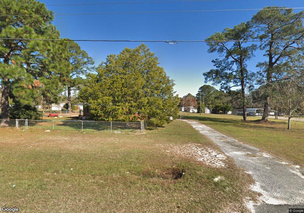
This home is located at 2902 Lanes Bridge Rd, Jesup, GA 31545 and is currently estimated at $198,548, approximately $146 per square foot. 2902 Lanes Bridge Rd is a home located in Wayne County with nearby schools including Bacon Elementary School, Martha Puckett Middle School, and Wayne County High School.
Ownership History
Date
Name
Owned For
Owner Type
Purchase Details
Closed on
May 26, 2022
Sold by
Rogers Rental Properties Llc
Bought by
Lamb Kenyon Vance
Current Estimated Value
Purchase Details
Closed on
Apr 1, 2020
Sold by
Rogers Eunita E
Bought by
Rogers Rental Properties Llc
Purchase Details
Closed on
Aug 22, 2013
Sold by
Edenfield Willie J
Bought by
Edenfield James Kary and Rogers Eunita E
Purchase Details
Closed on
Aug 18, 2005
Sold by
Waters Julia Ann
Bought by
Edenfield W J
Purchase Details
Closed on
Feb 11, 2005
Sold by
Waters M E
Bought by
Edenfield W J
Create a Home Valuation Report for This Property
The Home Valuation Report is an in-depth analysis detailing your home's value as well as a comparison with similar homes in the area
Home Values in the Area
Average Home Value in this Area
Purchase History
| Date | Buyer | Sale Price | Title Company |
|---|---|---|---|
| Lamb Kenyon Vance | $225,000 | -- | |
| Rogers Rental Properties Llc | -- | -- | |
| Edenfield James Kary | -- | -- | |
| Edenfield W J | $50,000 | -- | |
| Edenfield W J | $20,000 | -- |
Source: Public Records
Tax History Compared to Growth
Tax History
| Year | Tax Paid | Tax Assessment Tax Assessment Total Assessment is a certain percentage of the fair market value that is determined by local assessors to be the total taxable value of land and additions on the property. | Land | Improvement |
|---|---|---|---|---|
| 2024 | $1,111 | $41,939 | $1,891 | $40,048 |
| 2023 | $1,179 | $40,137 | $1,891 | $38,246 |
| 2022 | $907 | $28,800 | $1,891 | $26,909 |
| 2021 | $971 | $28,800 | $1,891 | $26,909 |
| 2020 | $989 | $28,349 | $1,440 | $26,909 |
| 2019 | $1,018 | $28,349 | $1,440 | $26,909 |
| 2018 | $1,018 | $28,349 | $1,440 | $26,909 |
| 2017 | $877 | $28,349 | $1,440 | $26,909 |
| 2016 | $848 | $28,349 | $1,440 | $26,909 |
| 2014 | $850 | $28,349 | $1,440 | $26,909 |
| 2013 | -- | $28,348 | $1,440 | $26,908 |
Source: Public Records
Map
Nearby Homes
- 95 Mayflower Rd
- 75 Woodlawn Dr
- Lot 1,2,3 Rayonier Rd
- 143 Caleb Cir
- 556 Caleb Cir
- 186 Community Cir
- 1 Palm Island Cir
- 0 Palm Island Cir
- 125 Pleasant Way
- 200 W Melody Dr
- 88 Caleb Cir
- 260 Pine Ridge Rd
- 131 Mill Creek Ln
- 98 Saint Simons St
- 0 Red Oak Dr Unit 160341
- 0 Red Oak Dr Unit SA331365
- 96 Palm Tree Place
- 1276 Spring Grove Rd
- 1275 Rayonier Rd
- 290 Yellow Pine Rd
- 2934 Lanes Bridge Rd
- 44 Della St
- 2848 Lanes Bridge Rd
- 2972 Lanes Bridge Rd
- 25 Amanda Dr
- 2822 Lanes Bridge Rd
- 114 Della St
- 3010 Lanes Bridge Rd
- 90 Amanda Dr
- 61 Amanda Dr
- 30 Woodlawn Dr
- 0 Della St
- 154 Della St
- 76 Woodlawn Dr
- 3036 Lanes Bridge Rd
- 130 Della St
- 3045 Lanes Bridge Rd
- 21 Woodlawn Dr
- 188 Rayonier Rd Unit 2
- 145 Amanda Dr