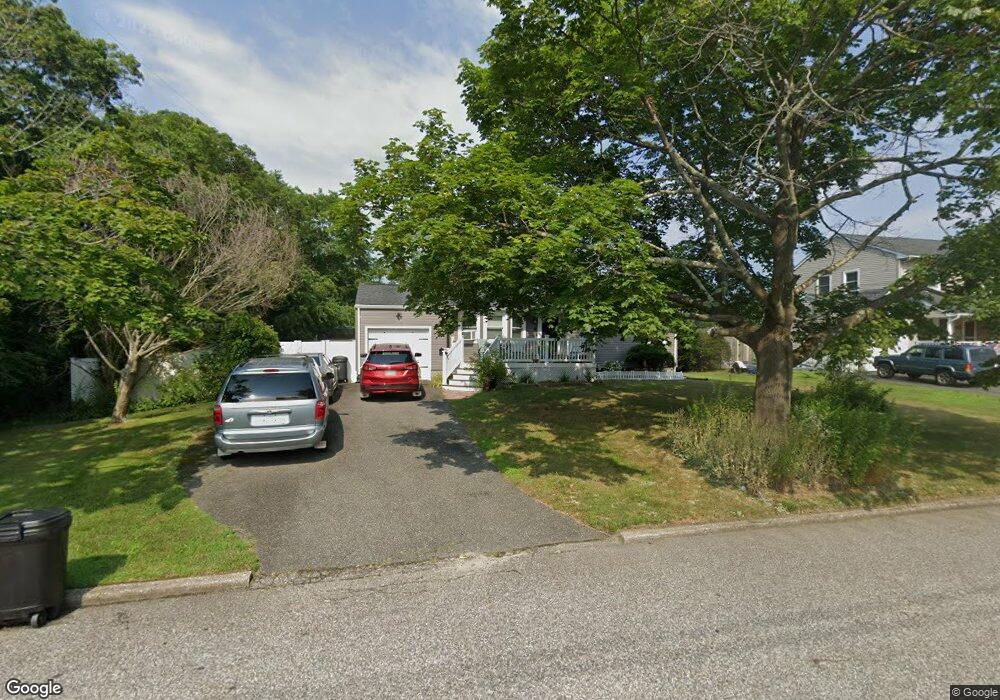
2902 Rhode Island Ave Medford, NY 11763
Estimated Value: $475,000 - $536,000
3
Beds
1
Bath
1,130
Sq Ft
$447/Sq Ft
Est. Value
About This Home
This home is located at 2902 Rhode Island Ave, Medford, NY 11763 and is currently estimated at $504,682, approximately $446 per square foot. 2902 Rhode Island Ave is a home located in Suffolk County with nearby schools including Patchogue-Medford High School and Long Island Baptist Academy.
Ownership History
Date
Name
Owned For
Owner Type
Purchase Details
Closed on
Nov 22, 2011
Sold by
Hudson Thomas and Hudson Luann
Bought by
Berg James and Alessio Berg Sarah D
Current Estimated Value
Home Financials for this Owner
Home Financials are based on the most recent Mortgage that was taken out on this home.
Original Mortgage
$180,310
Outstanding Balance
$125,187
Interest Rate
4.4%
Mortgage Type
FHA
Estimated Equity
$379,495
Purchase Details
Closed on
Sep 24, 2002
Sold by
Hudson Thomas S
Bought by
Hudson Thomas and Hudson Luann
Home Financials for this Owner
Home Financials are based on the most recent Mortgage that was taken out on this home.
Original Mortgage
$168,000
Interest Rate
6.2%
Create a Home Valuation Report for This Property
The Home Valuation Report is an in-depth analysis detailing your home's value as well as a comparison with similar homes in the area
Home Values in the Area
Average Home Value in this Area
Purchase History
| Date | Buyer | Sale Price | Title Company |
|---|---|---|---|
| Berg James | $185,000 | -- | |
| Hudson Thomas | -- | Sovereign Title Agency Lp |
Source: Public Records
Mortgage History
| Date | Status | Borrower | Loan Amount |
|---|---|---|---|
| Open | Berg James | $180,310 | |
| Previous Owner | Hudson Thomas | $168,000 |
Source: Public Records
Tax History Compared to Growth
Tax History
| Year | Tax Paid | Tax Assessment Tax Assessment Total Assessment is a certain percentage of the fair market value that is determined by local assessors to be the total taxable value of land and additions on the property. | Land | Improvement |
|---|---|---|---|---|
| 2024 | $9,553 | $2,425 | $160 | $2,265 |
| 2023 | $9,553 | $2,425 | $160 | $2,265 |
| 2022 | $8,314 | $2,425 | $160 | $2,265 |
| 2021 | $8,314 | $2,425 | $160 | $2,265 |
| 2020 | $8,608 | $2,425 | $160 | $2,265 |
| 2019 | $8,608 | $0 | $0 | $0 |
| 2018 | $8,036 | $2,425 | $160 | $2,265 |
| 2017 | $8,036 | $2,425 | $160 | $2,265 |
| 2016 | $7,877 | $2,425 | $160 | $2,265 |
| 2015 | -- | $2,425 | $160 | $2,265 |
| 2014 | -- | $2,425 | $160 | $2,265 |
Source: Public Records
Map
Nearby Homes
- 2816 Acorn Ave
- 2905 Beechnut Ave
- 1300 Race Ave
- 1301 Race Ave
- 1401 Race Ave
- 3004 New London Ave
- 1902 Race Ave
- 3115 Chestnut Ave
- 3106 Devon Ave
- 1600 Fire Ave
- 0 Cedar Ln Unit ONE3556748
- 2909 Falcon Ave
- 2812 Sipp Ave
- 2712 Falcon Ave
- 2401 Race Ave
- 3019 Sipp Ave
- 187 Robinson Ave
- 49 Country Rd
- 497 Daryl Dr
- 409 Birchwood Rd
- 2904 Rhode Island Ave
- 2903 Acorn Ave
- 2905 Acorn Ave
- 2906 Rhode Island Ave
- 2907 Acorn Ave
- 2816 Rhode Island Ave
- 2907 Rhode Island Ave
- 2908 Rhode Island Ave
- 2817 Acorn Ave
- 2909 Acorn Ave
- 2902 Acorn Ave
- 2904 Acorn Ave
- 1701 Phillips Dr
- 2909 Rhode Island Ave
- 2814 Rhode Island Ave
- 2906 Acorn Ave
- 2815 Acorn Ave
- 2910 Rhode Island Ave
- 2906 Beechnut Ave
- 2911 Acorn Ave