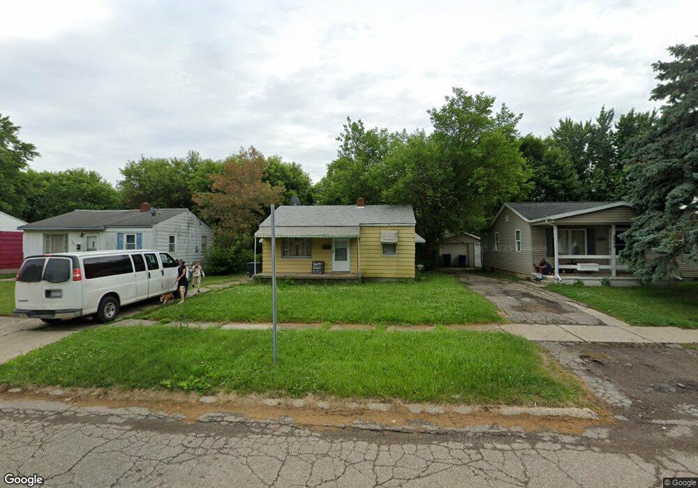
2902 Thom St Flint, MI 48506
Potter Longway NeighborhoodEstimated Value: $42,000 - $51,447
2
Beds
1
Bath
636
Sq Ft
$73/Sq Ft
Est. Value
About This Home
This home is located at 2902 Thom St, Flint, MI 48506 and is currently estimated at $46,612, approximately $73 per square foot. 2902 Thom St is a home located in Genesee County with nearby schools including Potter School, Richfield Public School Academy, and Richfield Early Learning Center.
Ownership History
Date
Name
Owned For
Owner Type
Purchase Details
Closed on
Dec 27, 2024
Sold by
Valu Joseph
Bought by
Valu Frank John
Current Estimated Value
Purchase Details
Closed on
Mar 26, 2007
Sold by
Washington Mutual Bank
Bought by
Valu Joseph
Purchase Details
Closed on
Oct 11, 2006
Sold by
Rider Katrina
Bought by
Washington Mutual Bank and Long Beach Mortgage Co
Purchase Details
Closed on
Mar 14, 2006
Sold by
Klenk Todd and Klenk Roxanne
Bought by
Rider Katrina
Home Financials for this Owner
Home Financials are based on the most recent Mortgage that was taken out on this home.
Original Mortgage
$49,500
Interest Rate
11.25%
Mortgage Type
Fannie Mae Freddie Mac
Purchase Details
Closed on
Jul 30, 2003
Sold by
Ursha Richard M and Ursha Mary F
Bought by
Klenk Todd and Klenk Roxanne
Create a Home Valuation Report for This Property
The Home Valuation Report is an in-depth analysis detailing your home's value as well as a comparison with similar homes in the area
Home Values in the Area
Average Home Value in this Area
Purchase History
| Date | Buyer | Sale Price | Title Company |
|---|---|---|---|
| Valu Frank John | -- | None Listed On Document | |
| Valu Joseph | $14,000 | Metropol | |
| Washington Mutual Bank | $25,000 | None Available | |
| Rider Katrina | $55,000 | Rels Title | |
| Klenk Todd | $25,500 | First American Title |
Source: Public Records
Mortgage History
| Date | Status | Borrower | Loan Amount |
|---|---|---|---|
| Previous Owner | Rider Katrina | $49,500 |
Source: Public Records
Tax History
| Year | Tax Paid | Tax Assessment Tax Assessment Total Assessment is a certain percentage of the fair market value that is determined by local assessors to be the total taxable value of land and additions on the property. | Land | Improvement |
|---|---|---|---|---|
| 2025 | $833 | $20,200 | $0 | $0 |
| 2024 | $778 | $17,000 | $0 | $0 |
| 2023 | $766 | $14,400 | $0 | $0 |
| 2022 | $0 | $11,800 | $0 | $0 |
| 2021 | $773 | $11,500 | $0 | $0 |
| 2020 | $719 | $9,400 | $0 | $0 |
| 2019 | $708 | $8,300 | $0 | $0 |
| 2018 | $682 | $6,600 | $0 | $0 |
| 2017 | $674 | $0 | $0 | $0 |
| 2016 | $670 | $0 | $0 | $0 |
| 2015 | -- | $0 | $0 | $0 |
| 2014 | -- | $0 | $0 | $0 |
| 2012 | -- | $8,800 | $0 | $0 |
Source: Public Records
Map
Nearby Homes
- 3010 Wyoming Ave
- 3018 Dakota Ave
- 2719 Branch Rd
- 3118 Wyoming Ave
- 2701 Branch Rd
- 3006 Agree Ave
- 3210 Wyoming Ave
- 2426 Hoff St
- 2217 Maryland Ave
- 3314 Dakota Ave
- 2321 Levern St
- 2211 Torrance St
- 3413 Dakota Ave
- 3149 Whittier Ave
- 2935 Richfield Rd
- 2506 Arlington Ave
- 2426 Broadway Blvd
- 3602 Dakota Ave
- 1826 Dakota Ave
- 3213 Holly Ave
Your Personal Tour Guide
Ask me questions while you tour the home.