2902 W Corning Rd Peotone, IL 60468
Estimated Value: $672,000
3
Beds
3
Baths
3,780
Sq Ft
$178/Sq Ft
Est. Value
About This Home
This home is located at 2902 W Corning Rd, Peotone, IL 60468 and is currently estimated at $672,000, approximately $177 per square foot. 2902 W Corning Rd is a home located in Will County with nearby schools including Beecher Elementary School, Beecher Junior High School, and Beecher High School.
Ownership History
Date
Name
Owned For
Owner Type
Purchase Details
Closed on
May 28, 2004
Sold by
Pecho Anthony P
Bought by
Biedron Michael B and Biedron Nancy A
Current Estimated Value
Home Financials for this Owner
Home Financials are based on the most recent Mortgage that was taken out on this home.
Original Mortgage
$270,000
Outstanding Balance
$133,489
Interest Rate
6.17%
Mortgage Type
Purchase Money Mortgage
Estimated Equity
$538,511
Purchase Details
Closed on
Jan 19, 2001
Sold by
Pecho Michelle L
Bought by
Pecho Anthony P
Create a Home Valuation Report for This Property
The Home Valuation Report is an in-depth analysis detailing your home's value as well as a comparison with similar homes in the area
Home Values in the Area
Average Home Value in this Area
Purchase History
| Date | Buyer | Sale Price | Title Company |
|---|---|---|---|
| Biedron Michael B | $445,000 | -- | |
| Pecho Anthony P | -- | -- |
Source: Public Records
Mortgage History
| Date | Status | Borrower | Loan Amount |
|---|---|---|---|
| Open | Biedron Michael B | $270,000 |
Source: Public Records
Tax History Compared to Growth
Tax History
| Year | Tax Paid | Tax Assessment Tax Assessment Total Assessment is a certain percentage of the fair market value that is determined by local assessors to be the total taxable value of land and additions on the property. | Land | Improvement |
|---|---|---|---|---|
| 2024 | $5,240 | $83,189 | $16,409 | $66,780 |
| 2023 | $5,240 | $78,008 | $15,263 | $62,745 |
| 2022 | $5,141 | $72,063 | $14,022 | $58,041 |
| 2021 | $5,169 | $67,700 | $13,291 | $54,409 |
| 2020 | $5,115 | $64,286 | $12,268 | $52,018 |
| 2019 | $5,200 | $64,029 | $12,011 | $52,018 |
| 2018 | $5,671 | $61,373 | $11,397 | $49,976 |
| 2017 | $5,303 | $56,866 | $10,532 | $46,334 |
| 2016 | $4,589 | $49,054 | $10,217 | $38,837 |
| 2015 | $3,949 | $46,028 | $9,372 | $36,656 |
| 2014 | $3,949 | $45,077 | $9,140 | $35,937 |
| 2013 | $3,949 | $46,347 | $9,337 | $37,010 |
Source: Public Records
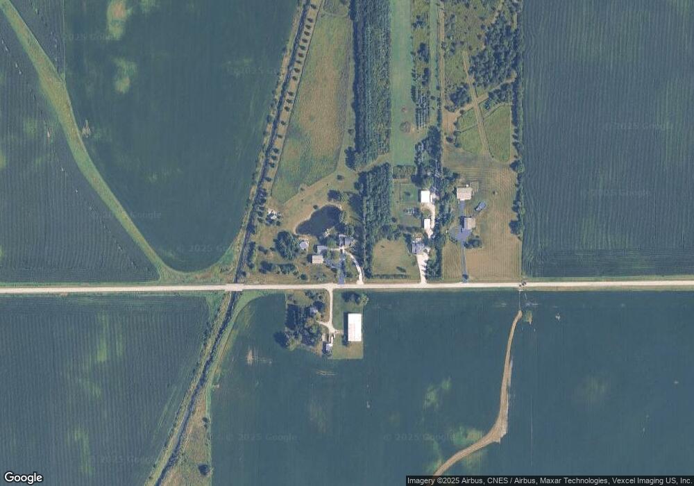
Map
Nearby Homes
- 936 W Corning Rd
- 510 Dunbar St
- 710 Elliott St
- 741 Dunbar St
- 286 S Woodward St
- 652 Penfield St
- 717 Miller St
- 648 Penfield St
- 617 Melrose Ln
- 1940 W Eagle Lake Rd
- 0 W Indiana Ave
- 1042 Catalpa Ct
- 524 Meadow Ln
- 520 Chestnut Ln
- 00 S Egyptian Trail
- 936 Keenan Ct
- 912 Lange Ave
- 922 Lange Ave
- 322 Orchard Ln
- 1147 Dixie Hwy
- 2844 W Corning Rd
- 2919 W Corning Rd
- 31131 S Kedzie Ave
- 2624 W Corning Rd
- 2526 W Corning Rd
- 30743 S Kedzie Ave
- 2444 W Corning Rd
- 2444 W Corning Rd
- 30732 S Kedzie Ave
- 30916 S Western Ave
- 3425 W Corning Rd
- 30812 S Western Ave
- 30624 S Kedzie Ave
- 30650 S Kedzie Ave
- 30554 S Kedzie Ave
- 31347 S Western Ave
- 30444 S Kedzie Ave
- 30514 S Kedzie Ave
- 31523 S Western Ave
- 30411 S Kedzie Ave