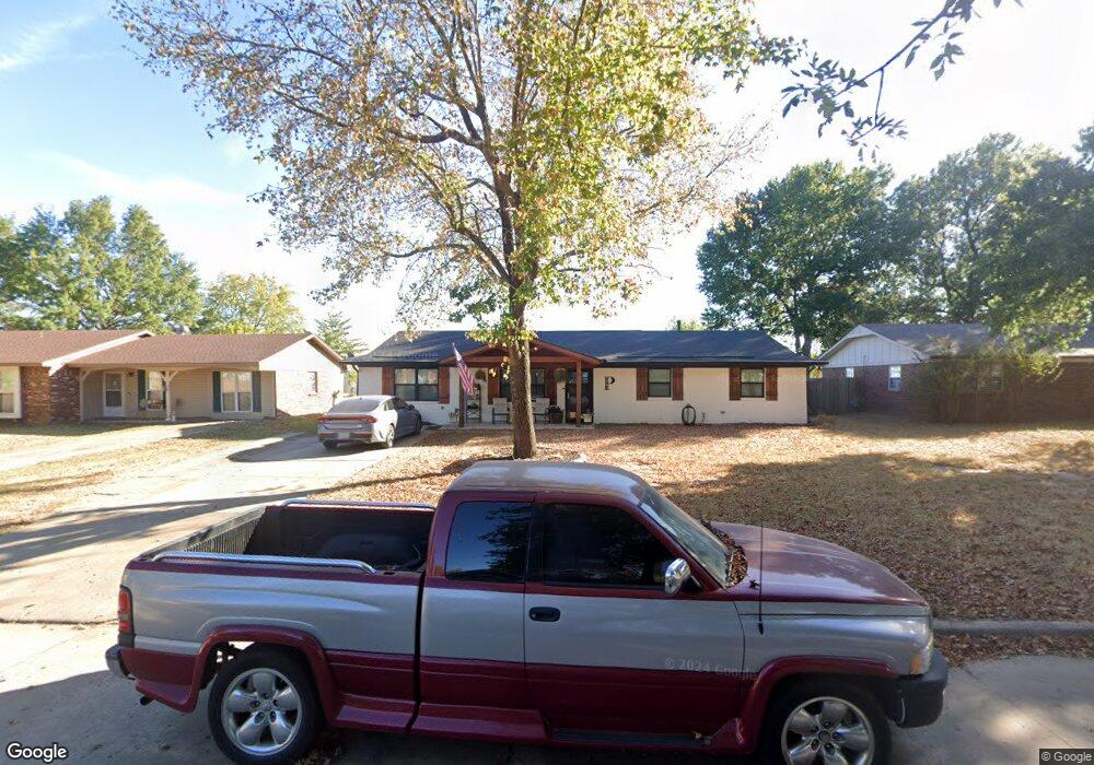
2903 Haddock Dr Muskogee, OK 74401
Hilldale NeighborhoodEstimated Value: $155,000 - $203,000
3
Beds
2
Baths
1,430
Sq Ft
$121/Sq Ft
Est. Value
About This Home
This home is located at 2903 Haddock Dr, Muskogee, OK 74401 and is currently estimated at $173,174, approximately $121 per square foot. 2903 Haddock Dr is a home located in Muskogee County with nearby schools including Hilldale Lower Elementary School, Hilldale Upper Elementary School, and Hilldale Middle School.
Ownership History
Date
Name
Owned For
Owner Type
Purchase Details
Closed on
May 10, 2018
Sold by
Parson Rick and Parson Devonna
Bought by
Parson Ricky and Parson Devonna
Current Estimated Value
Home Financials for this Owner
Home Financials are based on the most recent Mortgage that was taken out on this home.
Original Mortgage
$82,163
Outstanding Balance
$72,483
Interest Rate
5.62%
Mortgage Type
FHA
Estimated Equity
$100,691
Purchase Details
Closed on
Mar 25, 1999
Bought by
Parson Rick and Parson Devonna
Purchase Details
Closed on
Jul 10, 1997
Purchase Details
Closed on
May 1, 1992
Purchase Details
Closed on
Sep 1, 1985
Create a Home Valuation Report for This Property
The Home Valuation Report is an in-depth analysis detailing your home's value as well as a comparison with similar homes in the area
Home Values in the Area
Average Home Value in this Area
Purchase History
| Date | Buyer | Sale Price | Title Company |
|---|---|---|---|
| Parson Ricky | -- | Muskogee Abs & Title Co | |
| Parson Rick | -- | -- | |
| -- | $46,000 | -- | |
| -- | -- | -- | |
| -- | $36,000 | -- |
Source: Public Records
Mortgage History
| Date | Status | Borrower | Loan Amount |
|---|---|---|---|
| Open | Parson Ricky | $82,163 |
Source: Public Records
Tax History Compared to Growth
Tax History
| Year | Tax Paid | Tax Assessment Tax Assessment Total Assessment is a certain percentage of the fair market value that is determined by local assessors to be the total taxable value of land and additions on the property. | Land | Improvement |
|---|---|---|---|---|
| 2025 | $810 | $8,272 | $1,000 | $7,272 |
| 2024 | $745 | $8,031 | $971 | $7,060 |
| 2023 | $745 | $8,030 | $950 | $7,080 |
| 2022 | $691 | $7,797 | $950 | $6,847 |
| 2021 | $694 | $7,350 | $1,020 | $6,330 |
| 2020 | $672 | $7,136 | $1,020 | $6,116 |
| 2019 | $641 | $9,021 | $1,020 | $8,001 |
| 2018 | $626 | $9,021 | $1,020 | $8,001 |
| 2017 | $518 | $6,530 | $1,020 | $5,510 |
| 2016 | $487 | $6,340 | $1,020 | $5,320 |
| 2015 | $458 | $6,155 | $1,020 | $5,135 |
| 2014 | $443 | $5,976 | $1,020 | $4,956 |
Source: Public Records
Map
Nearby Homes
- 2702 S 27th St
- 2602 S 27th St
- 2831 S 24th St W
- 2529 S 28th Place
- 2301 S 40th St W
- 4200 S 30th St W
- 0 S 32nd St Unit 2541986
- 0 S 32nd St Unit 2542053
- 615 Marietta St
- 610 Marietta St
- 0 W Hancock St Unit 16398614
- 0 W Hancock St Unit 2544790
- 2000 W Smith Ferry Rd
- 1214 S 23rd St
- 1109 S 23rd St
- 1107 Lincoln St
- 3700 Shefield
- 920 S 24th St
- 0 Estelle Ave
- 428 Fairfax Dr
- 2901 Haddock Dr
- 2905 Haddock Dr
- 2809 Haddock Dr
- 2907 Haddock Dr
- 2902 Haddock Dr
- 2904 Haddock Dr
- 2900 Haddock Dr
- 2808 Haddock Dr
- 2906 Haddock Dr
- 2807 Haddock Dr
- 2908 Haddock Dr
- 2806 Haddock Dr
- 3001 Haddock Dr
- 2805 Haddock Dr
- 2802 Haddock Dr
- 3000 Haddock Dr
- 3003 Haddock Dr
- 2803 Haddock Dr
- 3002 Haddock Dr
- 2800 Haddock Dr