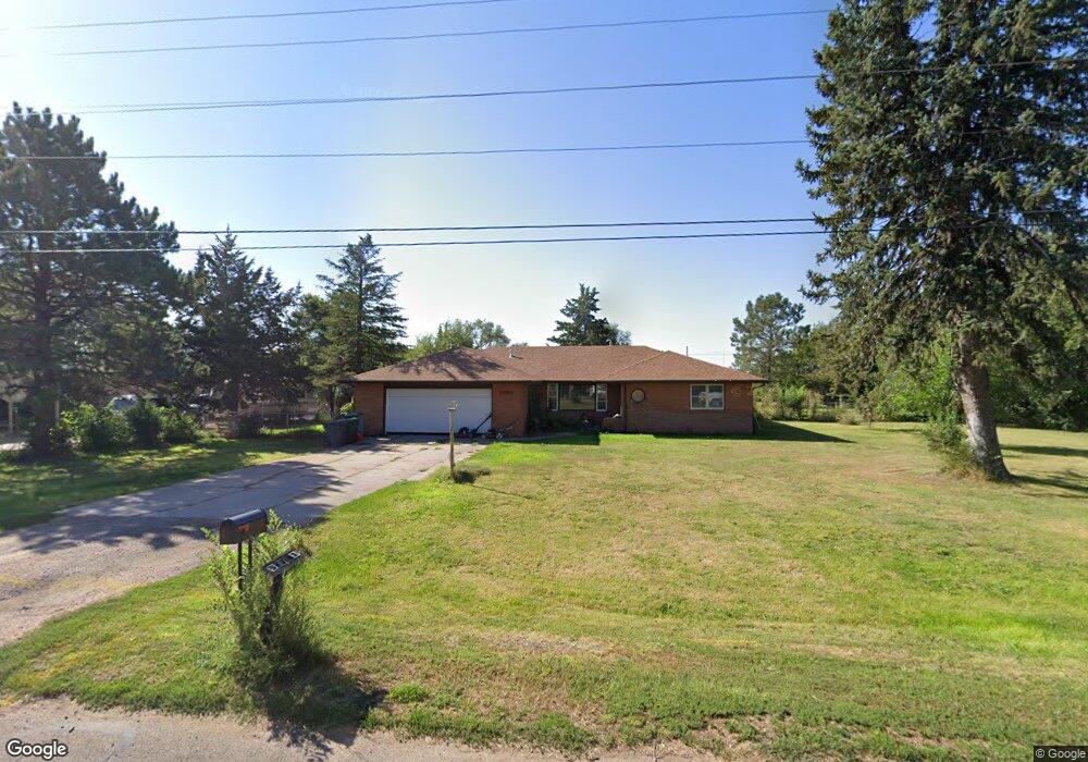
2904 W 9th St North Platte, NE 69101
Estimated Value: $197,000 - $239,662
3
Beds
2
Baths
1,536
Sq Ft
$140/Sq Ft
Est. Value
About This Home
This home is located at 2904 W 9th St, North Platte, NE 69101 and is currently estimated at $215,416, approximately $140 per square foot. 2904 W 9th St is a home located in Lincoln County with nearby schools including North Platte High School and Platte Valley Christian Academy.
Ownership History
Date
Name
Owned For
Owner Type
Purchase Details
Closed on
Sep 28, 2023
Sold by
Burrows John C and Burrows Mary Angela
Bought by
Bustillos Raudel Mendoza
Current Estimated Value
Purchase Details
Closed on
Mar 26, 2010
Sold by
Holmstedt James H and Holmstedt Patricia
Bought by
Burrows John C and Burrows Mary Angela
Home Financials for this Owner
Home Financials are based on the most recent Mortgage that was taken out on this home.
Original Mortgage
$126,600
Interest Rate
5.5%
Mortgage Type
FHA
Create a Home Valuation Report for This Property
The Home Valuation Report is an in-depth analysis detailing your home's value as well as a comparison with similar homes in the area
Home Values in the Area
Average Home Value in this Area
Purchase History
| Date | Buyer | Sale Price | Title Company |
|---|---|---|---|
| Bustillos Raudel Mendoza | $78,000 | None Listed On Document | |
| Burrows John C | $129,000 | None Available |
Source: Public Records
Mortgage History
| Date | Status | Borrower | Loan Amount |
|---|---|---|---|
| Previous Owner | Burrows John C | $126,600 |
Source: Public Records
Tax History Compared to Growth
Tax History
| Year | Tax Paid | Tax Assessment Tax Assessment Total Assessment is a certain percentage of the fair market value that is determined by local assessors to be the total taxable value of land and additions on the property. | Land | Improvement |
|---|---|---|---|---|
| 2024 | $2,311 | $171,715 | $26,197 | $145,518 |
| 2023 | $3,061 | $167,856 | $26,197 | $141,659 |
| 2022 | $2,782 | $144,006 | $14,787 | $129,219 |
| 2021 | $2,610 | $134,585 | $13,820 | $120,765 |
| 2020 | $2,648 | $134,585 | $13,820 | $120,765 |
| 2019 | $2,660 | $134,585 | $13,820 | $120,765 |
| 2018 | $2,661 | $134,585 | $13,820 | $120,765 |
| 2017 | $2,670 | $134,585 | $13,820 | $120,765 |
| 2016 | $2,709 | $134,145 | $13,820 | $120,325 |
| 2014 | $2,795 | $127,925 | $13,820 | $114,105 |
Source: Public Records
Map
Nearby Homes
- 2801 W 6th St
- 84 Preston Ct
- 86 Preston Ct
- 86-84 Preston Ct
- 92 Preston Ct
- 98 Preston Ct
- 98-92 Preston Ct
- 1612 N Buffalo Bill Ave
- 1616 N Buffalo Bill Ave
- 1620 N Buffalo Bill Ave
- 420 N Allen Ave
- 2707 W 3rd St
- 3301 W 2nd St
- 2220 W 4th St
- 2212 W 4th St
- 2102 W 5th St
- 1821 N Hayes Ave
- 2702 Pawnee Ave
- 2504 W 22nd St
- 2120 W 3rd St