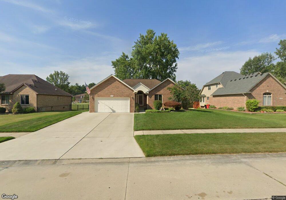
29042 Bay Pointe Dr Chesterfield, MI 48047
Estimated Value: $357,779 - $407,000
3
Beds
2
Baths
1,581
Sq Ft
$242/Sq Ft
Est. Value
About This Home
This home is located at 29042 Bay Pointe Dr, Chesterfield, MI 48047 and is currently estimated at $382,695, approximately $242 per square foot. 29042 Bay Pointe Dr is a home located in Macomb County with nearby schools including Dean A. Naldrett School, Anchor Bay Middle School South, and Anchor Bay High School.
Ownership History
Date
Name
Owned For
Owner Type
Purchase Details
Closed on
Aug 25, 2005
Sold by
Dreshaj Pjeter and Dreshaj Valentine
Bought by
Coyne Timothy A and Coyne Laura S
Current Estimated Value
Home Financials for this Owner
Home Financials are based on the most recent Mortgage that was taken out on this home.
Original Mortgage
$159,000
Outstanding Balance
$85,279
Interest Rate
5.89%
Mortgage Type
Fannie Mae Freddie Mac
Estimated Equity
$297,416
Create a Home Valuation Report for This Property
The Home Valuation Report is an in-depth analysis detailing your home's value as well as a comparison with similar homes in the area
Home Values in the Area
Average Home Value in this Area
Purchase History
| Date | Buyer | Sale Price | Title Company |
|---|---|---|---|
| Coyne Timothy A | $239,000 | Wilson Title Agency Llc |
Source: Public Records
Mortgage History
| Date | Status | Borrower | Loan Amount |
|---|---|---|---|
| Open | Coyne Timothy A | $159,000 |
Source: Public Records
Tax History Compared to Growth
Tax History
| Year | Tax Paid | Tax Assessment Tax Assessment Total Assessment is a certain percentage of the fair market value that is determined by local assessors to be the total taxable value of land and additions on the property. | Land | Improvement |
|---|---|---|---|---|
| 2025 | $3,995 | $162,600 | $0 | $0 |
| 2024 | $2,245 | $158,300 | $0 | $0 |
| 2023 | $3,624 | $153,600 | $0 | $0 |
| 2022 | $3,624 | $134,100 | $0 | $0 |
| 2021 | $3,533 | $123,100 | $0 | $0 |
| 2020 | $1,955 | $118,700 | $0 | $0 |
| 2019 | $3,276 | $111,600 | $0 | $0 |
| 2018 | $3,197 | $106,500 | $18,900 | $87,600 |
| 2017 | $3,160 | $101,600 | $18,950 | $82,650 |
| 2016 | $3,156 | $101,600 | $0 | $0 |
| 2015 | $1,527 | $95,450 | $0 | $0 |
| 2014 | $1,527 | $85,850 | $12,850 | $73,000 |
| 2012 | -- | $0 | $0 | $0 |
Source: Public Records
Map
Nearby Homes
- 29371 Bayside Cir N
- 47460 Sugarbush Rd
- 29126 Brooke Meadows Ct
- 29213 Rachid Ln
- 47812 Forbes Dr
- 47685 Jefferson Ave
- 29705 Alexandra Ln Unit 13
- 29401 Wand Dr
- 47031 Jefferson Ave
- 28490 Cotton Rd Unit 3
- 47900 Jefferson Ave
- 47935 Remington Ct
- 000 Farwell St
- 29050 Farwell St
- 28715 Portsmouth Ct Unit 32
- 00000 21 Mile Rd
- 28734 Yarmouth Ct Unit 18
- 47978 Jefferson Ave
- 48323 Whittington Dr
- 46835 Putnam Ct
- 29046 Bay Pointe Dr
- 29038 Bay Pointe Dr
- 29050 Bay Pointe Dr
- 29034 Bay Pointe Dr
- 29043 Bay Pointe Dr
- 29047 Bay Pointe Dr
- 29039 Bay Pointe Dr
- 29054 Bay Pointe Dr
- 29030 Bay Pointe Dr
- 29080 Merrimade Ln
- 29035 Bay Pointe Dr
- 29076 Merrimade Ln
- 29026 Bay Pointe Dr
- 47606 Burlingame Dr
- 29058 Bay Pointe Dr
- 47580 Sugarbush Rd
- 47608 Burlingame Dr
- 29072 Merrimade Ln
- 29044 Merrimade Ln
- 29022 Bay Pointe Dr