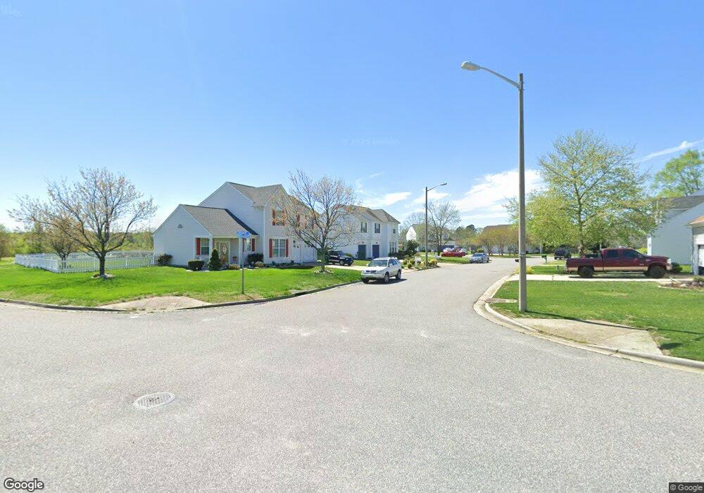
2905 Crosstie Ln Chesapeake, VA 23323
Deep Creek-Portsmouth NeighborhoodEstimated Value: $473,994 - $516,000
4
Beds
3
Baths
2,010
Sq Ft
$246/Sq Ft
Est. Value
About This Home
This home is located at 2905 Crosstie Ln, Chesapeake, VA 23323 and is currently estimated at $495,249, approximately $246 per square foot. 2905 Crosstie Ln is a home located in Chesapeake City with nearby schools including Grassfield Elementary School, Hugo a Owens Middle, and Grassfield High School.
Ownership History
Date
Name
Owned For
Owner Type
Purchase Details
Closed on
Apr 29, 2004
Sold by
Adams Roger
Bought by
Fargo Albert
Current Estimated Value
Home Financials for this Owner
Home Financials are based on the most recent Mortgage that was taken out on this home.
Original Mortgage
$196,000
Interest Rate
5.99%
Mortgage Type
New Conventional
Create a Home Valuation Report for This Property
The Home Valuation Report is an in-depth analysis detailing your home's value as well as a comparison with similar homes in the area
Home Values in the Area
Average Home Value in this Area
Purchase History
| Date | Buyer | Sale Price | Title Company |
|---|---|---|---|
| Fargo Albert | $245,000 | -- |
Source: Public Records
Mortgage History
| Date | Status | Borrower | Loan Amount |
|---|---|---|---|
| Previous Owner | Fargo Albert | $196,000 |
Source: Public Records
Tax History Compared to Growth
Tax History
| Year | Tax Paid | Tax Assessment Tax Assessment Total Assessment is a certain percentage of the fair market value that is determined by local assessors to be the total taxable value of land and additions on the property. | Land | Improvement |
|---|---|---|---|---|
| 2025 | $4,312 | $434,900 | $185,000 | $249,900 |
| 2024 | $4,312 | $426,900 | $165,000 | $261,900 |
| 2023 | $3,614 | $395,800 | $135,000 | $260,800 |
| 2022 | $3,617 | $358,100 | $125,000 | $233,100 |
| 2021 | $3,227 | $307,300 | $105,000 | $202,300 |
| 2020 | $3,120 | $297,100 | $105,000 | $192,100 |
| 2019 | $2,955 | $281,400 | $105,000 | $176,400 |
| 2018 | $3,028 | $288,400 | $105,000 | $183,400 |
| 2017 | $2,736 | $260,600 | $95,000 | $165,600 |
| 2016 | $2,669 | $254,200 | $95,000 | $159,200 |
| 2015 | $2,611 | $248,700 | $100,000 | $148,700 |
| 2014 | $2,579 | $245,600 | $100,000 | $145,600 |
Source: Public Records
Map
Nearby Homes
- 212 Andiron Arch
- 3009 Patrick Henry Dr
- 3111 Yuban St
- 449 Sawyers Mill Crossing
- 828 Olmstead St
- 3115 Conservancy Dr
- 3101 Holly Ridge Dr
- 253 George Washington Hwy S
- 709 Phalarope St
- 3108 Old Rock St
- 3122 Old Rock St
- 743 Arbuckle St
- 421 Willow Bend Dr
- 3216 Meanley Dr
- 3308 Patrick Henry Dr
- 509 Lake Crest Dr
- 929 Skicoat St
- 185 George Washington Hwy S
- 415 Triton Trace
- 958 Olmstead St
- 2901 Crosstie Ln
- 401 Crosstie Ct
- 2900 Crosstie Ln
- 2908 Crosstie Ln
- 400 Crosstie Ct
- 402 Crosstie Ct
- 2912 Crosstie Ln
- 404 Iron Bridge Ln
- 2833 Pitt Saw Ln
- 2832 Pitt Saw Ln
- 2805 Cistern Cir
- 2829 Pitt Saw Ln
- 403 Iron Bridge Ln
- 2916 Crosstie Ln
- 2828 Pitt Saw Ln
- 2801 Cistern Cir
- 2809 Cistern Cir
- 405 Iron Bridge Ln
- 2915 Crosstie Ln
- 2825 Pitt Saw Ln