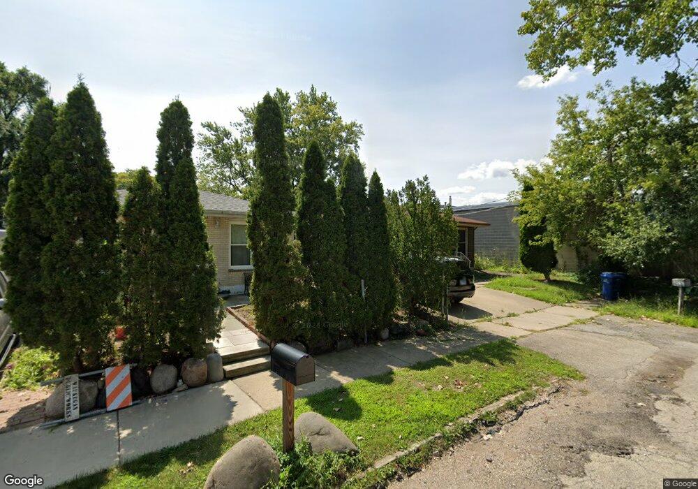
2905 Darrow Ln Waukegan, IL 60085
Hidden Glen NeighborhoodEstimated Value: $194,000 - $233,000
3
Beds
1
Bath
984
Sq Ft
$217/Sq Ft
Est. Value
About This Home
This home is located at 2905 Darrow Ln, Waukegan, IL 60085 and is currently estimated at $213,786, approximately $217 per square foot. 2905 Darrow Ln is a home located in Lake County with nearby schools including Oakdale Elementary School, Robert E. Abbott Middle School, and Waukegan High School.
Ownership History
Date
Name
Owned For
Owner Type
Purchase Details
Closed on
Sep 26, 2023
Sold by
Cenita Coler Declaration Of Trust
Bought by
Coler Jonathan and Coler Marshana L
Current Estimated Value
Purchase Details
Closed on
Feb 23, 2022
Sold by
Cenita Coler
Bought by
Cenita Coler Declaration Of Tr
Purchase Details
Closed on
Mar 5, 1998
Sold by
Gabriel Clara and Gabriel Nicanor
Bought by
Noriel Gabriel Nonilon P and Noriel Gabriel
Create a Home Valuation Report for This Property
The Home Valuation Report is an in-depth analysis detailing your home's value as well as a comparison with similar homes in the area
Home Values in the Area
Average Home Value in this Area
Purchase History
| Date | Buyer | Sale Price | Title Company |
|---|---|---|---|
| Coler Jonathan | -- | None Listed On Document | |
| Cenita Coler Declaration Of Tr | -- | Law Offices Of Sharon K Ross | |
| Noriel Gabriel Nonilon P | -- | -- |
Source: Public Records
Tax History Compared to Growth
Tax History
| Year | Tax Paid | Tax Assessment Tax Assessment Total Assessment is a certain percentage of the fair market value that is determined by local assessors to be the total taxable value of land and additions on the property. | Land | Improvement |
|---|---|---|---|---|
| 2024 | $2,633 | $49,054 | $2,751 | $46,303 |
| 2023 | $3,201 | $43,919 | $2,463 | $41,456 |
| 2022 | $3,201 | $43,741 | $2,186 | $41,555 |
| 2021 | $2,918 | $38,987 | $1,950 | $37,037 |
| 2020 | $2,870 | $36,321 | $1,817 | $34,504 |
| 2019 | $3,406 | $33,282 | $1,665 | $31,617 |
| 2018 | $2,968 | $29,333 | $2,474 | $26,859 |
| 2017 | $2,838 | $25,952 | $2,189 | $23,763 |
| 2016 | $2,558 | $22,551 | $1,902 | $20,649 |
| 2015 | $2,396 | $20,183 | $1,702 | $18,481 |
| 2014 | $2,104 | $17,974 | $1,787 | $16,187 |
| 2012 | $2,828 | $19,474 | $1,937 | $17,537 |
Source: Public Records
Map
Nearby Homes
- 2726 W Hidden Glen Dr
- 3027 Belvidere Rd
- 24 Washington Terrace
- 102 Baldwin Ave
- 671 Oldsmar Ln
- 12601 W Atlantic Ave
- 3159 Jeanette Ave
- 3298 7th St
- 3170 W Monroe St Unit 309
- 3170 W Monroe St Unit 311
- 216 S Martin Ave
- 3503 Elaine Ave
- 3285 Meadow Dr
- 3513 Barb Ave Unit 178
- 0 Brookside Ave
- 603 N Austin Ave
- 525 Lawrence Ave
- 1820 Jenkinson Ct
- 427 Tiffany Dr
- 629 S Fulton Ave
- 2901 Darrow Ln
- 2859 Darrow Ln
- 2900 Apple Ave
- 2855 Darrow Ln
- 2854 Apple Ave
- 2920 Apple Ave
- 2850 Darrow Ln
- 2852 Darrow Ln Unit 2852
- 2848 Apple Ave
- 2845 Darrow Ln
- 2844 Apple Ave
- 325 S Green Bay Rd
- 221 S Green Bay Rd
- 318 S Green Bay Rd
- 2840 Darrow Ln
- 2840 Apple Ave
- 2855 Apple Ave
- 320 S Green Bay Rd
- 333 S Green Bay Rd
- 2834 Apple Ave