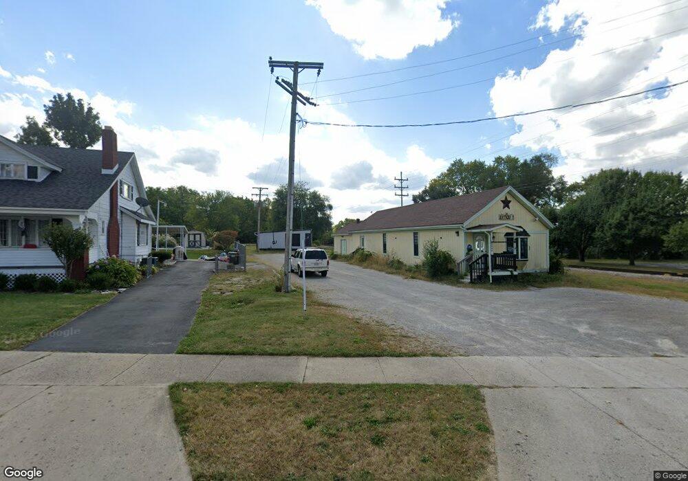
2905 E High St Springfield, OH 45505
Studio
--
Bath
5,540
Sq Ft
37,897
Sq Ft Lot
About This Home
This home is located at 2905 E High St, Springfield, OH 45505. 2905 E High St is a home located in Clark County with nearby schools including Mann Elementary School, Schaefer Middle School, and Springfield High School.
Ownership History
Date
Name
Owned For
Owner Type
Purchase Details
Closed on
Mar 4, 2021
Sold by
Haerr Traci L and Slattery Sheri L
Bought by
Wealthy Gardner Holdings Llc
Purchase Details
Closed on
Feb 5, 2010
Sold by
Mcgee Betty Suzanne and Turner John Edward
Bought by
Mcgee Betty Suzanne and Turner John Edward
Purchase Details
Closed on
Dec 9, 1994
Sold by
Seddon Virginia E
Bought by
Mcgee Betty S and Turner John E
Home Financials for this Owner
Home Financials are based on the most recent Mortgage that was taken out on this home.
Original Mortgage
$56,000
Interest Rate
9.06%
Mortgage Type
Commercial
Purchase Details
Closed on
Mar 19, 1993
Create a Home Valuation Report for This Property
The Home Valuation Report is an in-depth analysis detailing your home's value as well as a comparison with similar homes in the area
Home Values in the Area
Average Home Value in this Area
Purchase History
| Date | Buyer | Sale Price | Title Company |
|---|---|---|---|
| Wealthy Gardner Holdings Llc | $89,000 | Team Ttl & Closing Svcs Llc | |
| Mcgee Betty Suzanne | -- | Attorney | |
| Mcgee Betty S | $81,250 | -- | |
| -- | -- | -- |
Source: Public Records
Mortgage History
| Date | Status | Borrower | Loan Amount |
|---|---|---|---|
| Previous Owner | Mcgee Betty S | $56,000 |
Source: Public Records
Tax History
| Year | Tax Paid | Tax Assessment Tax Assessment Total Assessment is a certain percentage of the fair market value that is determined by local assessors to be the total taxable value of land and additions on the property. | Land | Improvement |
|---|---|---|---|---|
| 2021 | $490 | $6,710 | $6,710 | $0 |
| 2020 | $490 | $6,710 | $6,710 | $0 |
| 2019 | $491 | $6,710 | $6,710 | $0 |
| 2018 | $496 | $6,710 | $6,710 | $0 |
| 2017 | $494 | $6,710 | $6,710 | $0 |
| 2016 | $493 | $6,710 | $6,710 | $0 |
| 2015 | $499 | $6,710 | $6,710 | $0 |
| 2014 | $494 | $6,710 | $6,710 | $0 |
| 2013 | $482 | $6,710 | $6,710 | $0 |
Source: Public Records
Map
Nearby Homes
- 3012 E High St
- 451 Lawnview Ave
- 138 Lawnview Ave
- 2804 Lowman St
- 2745 Share St
- 2702 Maplewood Ave
- 2730 E Main St
- 115 S Burnett Rd
- 360 Buxton Ave
- 631 Kramer Rd
- 374 Raffensperger Ave
- 2425 Kenilworth Ave
- 1011 Mount Joy St
- 2809 Morton Dr
- 129 N Burnett Rd
- 375 N Fostoria Ave
- 2338 Dellwood Dr
- 507 Elbron Rd
- 2409 Mayfair Dr
- 250 S Douglas Ave Unit 254
- 2907 E High St
- 2911 E High St
- 348 Reames Ave
- 317 Lawnview Ave
- 2915 E High St
- 321 Lawnview Ave
- 354 Reames Ave
- 327 Lawnview Ave
- 2832 Dorothy Layne
- 358 Reames Ave
- 2999 E High St
- 331 Lawnview Ave
- 2826 Dorothy Ln
- 362 Reames Ave
- 337 Lawnview Ave
- 366 Reames Ave
- 3001 E High St
- 2820 Dorothy Ln
- 2908 E High St
- 341 Lawnview Ave
Your Personal Tour Guide
Ask me questions while you tour the home.