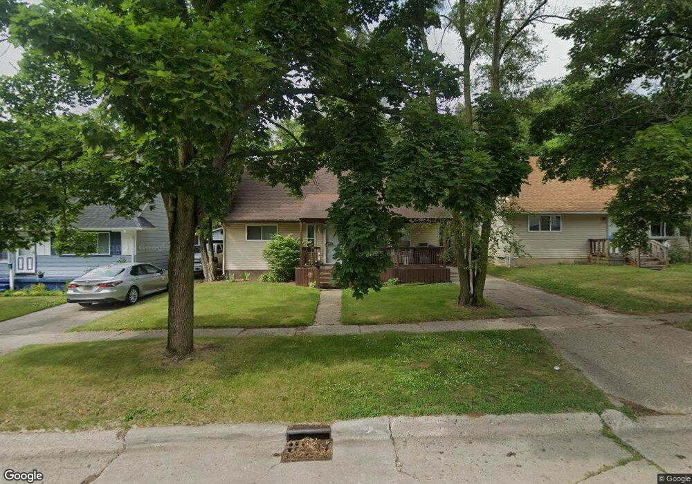
2905 Hampstead Dr Flint, MI 48506
Northeast Flint NeighborhoodEstimated Value: $77,000 - $111,000
4
Beds
2
Baths
1,987
Sq Ft
$47/Sq Ft
Est. Value
About This Home
This home is located at 2905 Hampstead Dr, Flint, MI 48506 and is currently estimated at $92,468, approximately $46 per square foot. 2905 Hampstead Dr is a home located in Genesee County with nearby schools including Brownell STEM Academy, Richfield Public School Academy, and Richfield Early Learning Center.
Ownership History
Date
Name
Owned For
Owner Type
Purchase Details
Closed on
Jul 15, 2022
Sold by
Jimmy Kashat
Bought by
Dye Marcus
Current Estimated Value
Home Financials for this Owner
Home Financials are based on the most recent Mortgage that was taken out on this home.
Original Mortgage
$85,500
Outstanding Balance
$81,441
Interest Rate
5.23%
Mortgage Type
New Conventional
Estimated Equity
$11,027
Purchase Details
Closed on
Feb 29, 2016
Sold by
Potter Christopher
Bought by
Kashat Jimmy
Purchase Details
Closed on
Jul 16, 2012
Sold by
Howard Morton Trust
Bought by
Potter Christopher
Create a Home Valuation Report for This Property
The Home Valuation Report is an in-depth analysis detailing your home's value as well as a comparison with similar homes in the area
Home Values in the Area
Average Home Value in this Area
Purchase History
| Date | Buyer | Sale Price | Title Company |
|---|---|---|---|
| Dye Marcus | $90,000 | None Listed On Document | |
| Kashat Jimmy | -- | None Available | |
| Potter Christopher | $10,000 | None Available |
Source: Public Records
Mortgage History
| Date | Status | Borrower | Loan Amount |
|---|---|---|---|
| Open | Dye Marcus | $85,500 |
Source: Public Records
Tax History
| Year | Tax Paid | Tax Assessment Tax Assessment Total Assessment is a certain percentage of the fair market value that is determined by local assessors to be the total taxable value of land and additions on the property. | Land | Improvement |
|---|---|---|---|---|
| 2025 | $1,446 | $30,300 | $0 | $0 |
| 2024 | $1,294 | $25,300 | $0 | $0 |
| 2023 | $1,262 | $21,100 | $0 | $0 |
| 2022 | $0 | $15,100 | $0 | $0 |
| 2021 | $1,104 | $14,400 | $0 | $0 |
| 2020 | $1,015 | $11,400 | $0 | $0 |
| 2019 | $1,299 | $12,200 | $0 | $0 |
| 2018 | $2,507 | $12,700 | $0 | $0 |
| 2017 | $1,766 | $0 | $0 | $0 |
| 2016 | $1,042 | $0 | $0 | $0 |
| 2015 | -- | $0 | $0 | $0 |
| 2014 | -- | $0 | $0 | $0 |
| 2012 | -- | $16,200 | $0 | $0 |
Source: Public Records
Map
Nearby Homes
- 2919 Hampstead Dr
- 5919 Western Rd
- 2825 Eaton Place
- 2727 Eaton Place
- 4907 Delta Dr
- 4923 Alpha Way
- 4808 Alpha Way
- 3364 E Pierson Rd
- 3456 E Pierson Rd
- 1704 E Webster Rd
- 4298 N Center Rd
- 4081 Hidden View Dr
- 5910 N Dort Hwy
- 3294 Huggins Ave
- 4141 Hidden View Dr
- 2935 Richfield Rd
- 00 Richfield Rd
- 1218 E Piper Ave
- 3006 Agree Ave
- 3705 Aldon Ln
- 2909 Hampstead Dr
- 2901 Hampstead Dr
- 2913 Hampstead Dr
- 2849 Hampstead Dr
- 2845 Hampstead Dr
- 3001 Hampstead Dr
- 2841 Hampstead Dr
- 2914 Hampstead Dr
- 2837 Hampstead Dr
- 2840 Hampstead Dr
- 3007 Hampstead Dr
- 5928 Windcliff Trail
- 2833 Hampstead Dr
- 3013 Hampstead Dr
- 2836 Hampstead Dr
- 2837 Margate Cir
- 3002 Hampstead Dr
- 3019 Hampstead Dr
- 6315 Branch Rd
- 2828 Hampstead Dr
Your Personal Tour Guide
Ask me questions while you tour the home.