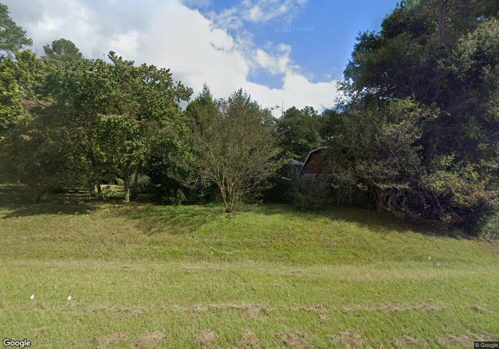
2905 N Highway 27 Carrollton, GA 30117
Estimated Value: $306,000 - $344,262
2
Beds
2
Baths
2,822
Sq Ft
$114/Sq Ft
Est. Value
About This Home
This home is located at 2905 N Highway 27, Carrollton, GA 30117 and is currently estimated at $320,566, approximately $113 per square foot. 2905 N Highway 27 is a home located in Carroll County with nearby schools including Mt. Zion Elementary School, Mt. Zion Middle School, and Mt. Zion High School.
Ownership History
Date
Name
Owned For
Owner Type
Purchase Details
Closed on
Jun 25, 2025
Sold by
Carter Charles E Life Estate
Bought by
Montonson Development Llc
Current Estimated Value
Purchase Details
Closed on
May 4, 2007
Sold by
Carter Charles E
Bought by
Carter Charles E
Purchase Details
Closed on
Dec 28, 1968
Sold by
Johnson Percy V
Bought by
Carter Charles
Create a Home Valuation Report for This Property
The Home Valuation Report is an in-depth analysis detailing your home's value as well as a comparison with similar homes in the area
Home Values in the Area
Average Home Value in this Area
Purchase History
| Date | Buyer | Sale Price | Title Company |
|---|---|---|---|
| Montonson Development Llc | -- | -- | |
| Montonson Development Llc | $305,000 | -- | |
| Carter Charles E | -- | -- | |
| Tb E Ventures Llc | -- | -- | |
| Carter Charles | -- | -- |
Source: Public Records
Tax History Compared to Growth
Tax History
| Year | Tax Paid | Tax Assessment Tax Assessment Total Assessment is a certain percentage of the fair market value that is determined by local assessors to be the total taxable value of land and additions on the property. | Land | Improvement |
|---|---|---|---|---|
| 2024 | $244 | $121,564 | $20,547 | $101,017 |
| 2023 | $244 | $109,060 | $16,438 | $92,622 |
| 2022 | $291 | $80,017 | $5,682 | $74,335 |
| 2021 | $293 | $69,298 | $4,545 | $64,753 |
| 2020 | $294 | $61,223 | $4,132 | $57,091 |
| 2019 | $302 | $55,934 | $4,132 | $51,802 |
| 2018 | $317 | $50,424 | $4,132 | $46,292 |
| 2017 | $320 | $50,424 | $4,132 | $46,292 |
| 2016 | $320 | $50,424 | $4,132 | $46,292 |
| 2015 | $322 | $46,326 | $9,082 | $37,244 |
| 2014 | $325 | $46,326 | $9,082 | $37,244 |
Source: Public Records
Map
Nearby Homes
- 2990 N Highway 27
- 0 Hwy 27 N
- 77 Little River Rd
- 50 Green Acres Dr
- 2464 N 27 Highway & Bagwell Rd
- 00 Hog Liver Rd Unit 346
- 0 Hog Liver Rd Unit 148331
- 0 Hog Liver Rd Unit 10630257
- 0 Hog Liver Rd Unit 7671087
- 0 Hog Liver Rd Unit 10614601
- 0 Hog Liver Rd Unit 10630818
- 102 Buell Jones Rd
- 676 Hog Liver Rd
- 45 Buell Jones Rd
- 0000 Hog Liver Rd
- 125 Springwood Dr
- 266 Lambert Overlook Cir
- The Thomas 2 Plan at Lambert Overlook
- The Thomas Plan at Lambert Overlook
- The Brook Plan at Lambert Overlook
- 0 Smyrna Church Rd Unit 3065798
- 0 Smyrna Church Rd Unit 8050750
- 2900 N Highway 27
- 85 Smyrna Church Rd
- 2796 N Highway 27
- 3020 Us Highway 27
- 2990 N Highway 27
- 2790 N Highway 27
- 2768 Us Highway 27
- 2726 N Highway 27
- 2734 N Highway 27
- 204 Bagwell Rd
- 2724 U S 27
- 2717 N Highway 27
- 3068 N Highway 27
- 3068 Us Highway 27
- 00 Bagwell Rd
- 0 Bagwell Rd
- 0 Bagwell Rd Unit 20058968
- 0 Bagwell Rd Unit 7280674
