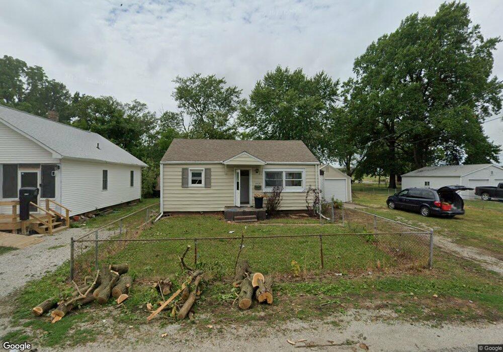
2905 S 12th St Unit 1 Springfield, IL 62703
Estimated Value: $61,786 - $101,000
Studio
--
Bath
--
Sq Ft
12,371
Sq Ft Lot
About This Home
This home is located at 2905 S 12th St Unit 1, Springfield, IL 62703 and is currently estimated at $75,197. 2905 S 12th St Unit 1 is a home located in Sangamon County with nearby schools including Edwin A. Lee Elementary School, Jefferson Middle School, and Springfield Southeast High School.
Ownership History
Date
Name
Owned For
Owner Type
Purchase Details
Closed on
May 30, 2023
Sold by
Nudo Anthony
Bought by
Sullivan Shane
Current Estimated Value
Purchase Details
Closed on
May 25, 2018
Sold by
Wright Dawn C
Bought by
Trust 357
Purchase Details
Closed on
Jun 10, 2005
Purchase Details
Closed on
Jun 7, 2005
Purchase Details
Closed on
Sep 10, 2002
Create a Home Valuation Report for This Property
The Home Valuation Report is an in-depth analysis detailing your home's value as well as a comparison with similar homes in the area
Purchase History
| Date | Buyer | Sale Price | Title Company |
|---|---|---|---|
| Sullivan Shane | $1,500 | None Listed On Document | |
| Trust 357 | $8,000 | Fernandes David A | |
| -- | -- | -- | |
| -- | -- | -- | |
| -- | -- | -- |
Source: Public Records
Tax History
| Year | Tax Paid | Tax Assessment Tax Assessment Total Assessment is a certain percentage of the fair market value that is determined by local assessors to be the total taxable value of land and additions on the property. | Land | Improvement |
|---|---|---|---|---|
| 2024 | $648 | $8,047 | $6,673 | $1,374 |
| 2023 | $636 | $7,451 | $6,179 | $1,272 |
| 2022 | $610 | $7,051 | $5,847 | $1,204 |
| 2021 | $597 | $6,850 | $5,680 | $1,170 |
| 2020 | $1,056 | $12,418 | $11,186 | $1,232 |
| 2019 | $223 | $2,666 | $1,456 | $1,210 |
| 2018 | $1,109 | $19,707 | $10,990 | $8,717 |
| 2017 | $1,075 | $19,404 | $10,821 | $8,583 |
| 2016 | $1,030 | $18,903 | $10,542 | $8,361 |
| 2015 | $1,000 | $18,476 | $10,304 | $8,172 |
| 2014 | $979 | $18,322 | $10,218 | $8,104 |
| 2013 | $969 | $18,518 | $10,327 | $8,191 |
Source: Public Records
Map
Nearby Homes
- 2942 S 11th St
- 1527 Chalmers St Unit 1
- 2800 S Woodward St
- 2941 Hoover Ave
- 3001 Hoover Ave
- 2856 S Hoover Ave Unit 1
- 817 E Stanford Ave
- 17 Celeste Ct
- 3305 Saint Francis Dr
- 3100 S 5th St Unit 1
- 2516 S 10th St
- 2517 S 10th St
- 1318 E Lenox Ave
- 3236 S 5th St Unit 1
- 308 E Apple Orchard Rd Unit 1
- 2408 Yale Blvd
- 3022 S 3rd St Unit 1
- 3300 Stanton St Unit 1
- Lot 1 & 2 Bunn Dr
- 2621 S 4th St Unit 1
- 2907 S 12th St Unit 1
- 2909 S 12th St Unit 1
- 2901 S 12th St
- 2906 S 12th St
- 2911 S 12th St
- 2908 S 12th St
- 2904 S 12th St Unit 1
- 2912 S 12th St Unit 1
- 2902 S 12th St
- 2913 S 12th St
- 2900 S 12th St Unit 1
- 2918 S 12th St
- 2915 S 12th St Unit 1
- 2916 S 12th St Unit 1
- 2926 S 11th St
- 2847 S 12th St Unit 1
- 2919 S 12th St
- 2916 S 11th St Unit 1
- 2920 S 12th St Unit 1
- 2906 S 11th St
Your Personal Tour Guide
Ask me questions while you tour the home.