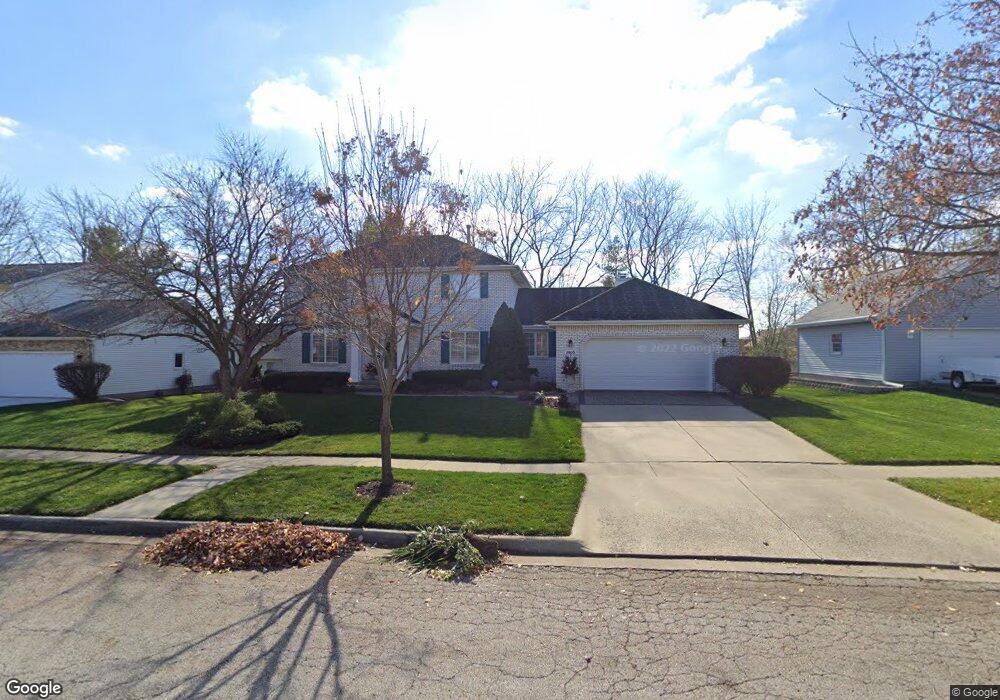
2905 Southfork Rd Bloomington, IL 61704
North Pointe NeighborhoodEstimated Value: $307,000 - $387,000
4
Beds
4
Baths
2,315
Sq Ft
$155/Sq Ft
Est. Value
About This Home
This home is located at 2905 Southfork Rd, Bloomington, IL 61704 and is currently estimated at $359,885, approximately $155 per square foot. 2905 Southfork Rd is a home located in McLean County with nearby schools including Northpoint Elementary School, Kingsley Junior High School, and Normal Community High School.
Ownership History
Date
Name
Owned For
Owner Type
Purchase Details
Closed on
May 22, 2024
Sold by
Robert And Lynn Meeker Living Trust and Meeker Lynn Louise
Bought by
Lynn L Meeker Living Trust and Robert Bruce Meeker Living Trust
Current Estimated Value
Purchase Details
Closed on
Dec 19, 2012
Sold by
Meeker Robert B and Meeker Lynn L
Bought by
Meeker Lynn L and Lynn Meeker Living Trust
Purchase Details
Closed on
Dec 10, 2008
Sold by
Meeker Robert B and Meeker Lynn L
Bought by
Meeker Robert B and Meeker Lynn L
Create a Home Valuation Report for This Property
The Home Valuation Report is an in-depth analysis detailing your home's value as well as a comparison with similar homes in the area
Home Values in the Area
Average Home Value in this Area
Purchase History
| Date | Buyer | Sale Price | Title Company |
|---|---|---|---|
| Lynn L Meeker Living Trust | -- | None Listed On Document | |
| Meeker Lynn L | -- | None Available | |
| Meeker Robert B | -- | None Available |
Source: Public Records
Tax History
| Year | Tax Paid | Tax Assessment Tax Assessment Total Assessment is a certain percentage of the fair market value that is determined by local assessors to be the total taxable value of land and additions on the property. | Land | Improvement |
|---|---|---|---|---|
| 2024 | $6,544 | $109,223 | $27,488 | $81,735 |
| 2023 | $6,544 | $97,314 | $24,491 | $72,823 |
| 2022 | $6,544 | $85,057 | $21,406 | $63,651 |
| 2021 | $6,037 | $78,528 | $19,763 | $58,765 |
| 2020 | $6,045 | $78,528 | $19,763 | $58,765 |
| 2019 | $5,733 | $77,193 | $19,427 | $57,766 |
| 2018 | $5,728 | $77,193 | $19,427 | $57,766 |
| 2017 | $5,495 | $77,193 | $19,427 | $57,766 |
| 2016 | $5,480 | $77,193 | $19,427 | $57,766 |
| 2015 | $5,396 | $76,172 | $19,170 | $57,002 |
| 2014 | $5,274 | $75,413 | $19,170 | $56,243 |
| 2013 | -- | $73,934 | $18,794 | $55,140 |
Source: Public Records
Map
Nearby Homes
- 2110 Sinclair Ct
- 2812 Vrooman Ct
- 2813 Stonehurst
- 2807 Vrooman Ct
- 9 Spruce Ct
- 11 Spruce Ct
- 2703 Vrooman Ct
- 404 Lake Shore Cir
- 2215 Woodfield Rd
- Lot D Fort Jesse Rd
- Lot F Fort Jesse Rd
- Lot E Fort Jesse Rd
- 10 Cameron Ct
- 3679 Madras Dr
- 3211 Leafy Ln
- 1903 Oakwood Ave
- 3 Timbergate Ct
- 38 Rounds Rd
- 2804 Longmeadow Ln
- 1 Worthington Ct
- 2903 Southfork Rd
- 2907 Southfork Rd
- 2906 E College Ave
- 2904 Southfork Rd
- 2908 E College Ave
- 2908 Southfork Rd
- 2909 Southfork Rd
- 2303 Stone Mountain Blvd
- 2902 Southfork Rd
- 2902 E College Ave
- 2910 E College Ave
- 2911 Southfork Rd
- 2502 Keystone Rd
- 11 Cobblestone Ct
- 6 Cobblestone Ct
- 2806 Southfork Rd
- 2912 E College Ave
- 2805 Southfork Rd
- 2504 Keystone Rd
- 2808 E College Ave
Your Personal Tour Guide
Ask me questions while you tour the home.