Estimated Value: $586,008 - $621,000
4
Beds
5
Baths
3,524
Sq Ft
$171/Sq Ft
Est. Value
About This Home
This home is located at 2905 Sunnyside Dr, Ennis, TX 75119 and is currently estimated at $603,504, approximately $171 per square foot. 2905 Sunnyside Dr is a home located in Ellis County with nearby schools including Austin Elementary School, Dorie Miller Int, and Ennis Junior High School.
Ownership History
Date
Name
Owned For
Owner Type
Purchase Details
Closed on
Aug 2, 2019
Sold by
Morgan Scott A and Morgan Nancy A
Bought by
Atchley Cody W and Atchley Mandi D
Current Estimated Value
Home Financials for this Owner
Home Financials are based on the most recent Mortgage that was taken out on this home.
Original Mortgage
$318,400
Outstanding Balance
$279,431
Interest Rate
3.8%
Mortgage Type
New Conventional
Estimated Equity
$324,073
Purchase Details
Closed on
Sep 28, 2016
Sold by
John Young Construction Co
Bought by
Morgan Scott A and Morgan Nancy A
Create a Home Valuation Report for This Property
The Home Valuation Report is an in-depth analysis detailing your home's value as well as a comparison with similar homes in the area
Home Values in the Area
Average Home Value in this Area
Purchase History
| Date | Buyer | Sale Price | Title Company |
|---|---|---|---|
| Atchley Cody W | -- | None Available | |
| Morgan Scott A | -- | Providence Title Company |
Source: Public Records
Mortgage History
| Date | Status | Borrower | Loan Amount |
|---|---|---|---|
| Open | Atchley Cody W | $318,400 |
Source: Public Records
Tax History Compared to Growth
Tax History
| Year | Tax Paid | Tax Assessment Tax Assessment Total Assessment is a certain percentage of the fair market value that is determined by local assessors to be the total taxable value of land and additions on the property. | Land | Improvement |
|---|---|---|---|---|
| 2025 | $10,235 | $587,689 | -- | -- |
| 2024 | $10,235 | $534,263 | -- | -- |
| 2023 | $10,235 | $485,694 | $0 | $0 |
| 2022 | $10,567 | $441,540 | $0 | $0 |
| 2021 | $10,105 | $401,400 | $60,000 | $341,400 |
| 2020 | $10,242 | $398,000 | $52,500 | $345,500 |
| 2019 | $11,059 | $422,000 | $0 | $0 |
| 2018 | $7,664 | $410,441 | $35,000 | $375,441 |
| 2017 | $9,345 | $352,300 | $35,000 | $317,300 |
| 2016 | $2,338 | $88,130 | $21,000 | $67,130 |
| 2015 | $510 | $19,250 | $19,250 | $0 |
| 2014 | $510 | $19,250 | $0 | $0 |
Source: Public Records
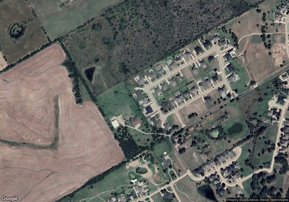
Map
Nearby Homes
- 2900 Terrytown Dr
- 2904 Terrytown Dr
- 1709 Carnoustie Dr
- 1703 Carnoustie Dr
- 2703 Sleepy Hollow Rd
- 1002 Hoylake Ct
- 000 Sleepy Hollow Rd
- Lavon Plan at The Hollow
- Bowie Plan at The Hollow
- San Gabriel II Plan at The Hollow
- Cascade II Plan at The Hollow
- Bailey Plan at The Hollow
- Burnett Plan at The Hollow
- Briley Plan at The Hollow
- Basswood Plan at The Hollow
- 2503 Saint Andrews Dr
- 1207 Louise Ln
- 2800 Boyd St
- 2810 Belmont Dr
- TBD 27.7ac Farm To Market 1722
- 2903 Sunnyside Dr
- 2907 Sunnyside Dr
- 1703 Hudson Dr
- 1703 Sunnyside Dr
- 1702 Sunnyside Dr
- 2901 Sunnyside Dr
- 1702 Hudson Dr
- 1701 Hudson Dr
- 1700 Westchester Dr
- 1606 Westchester Dr
- 1700 Hudson Dr
- 1703 Westchester Dr
- 0 Westchester Dr Unit 12179638
- 1605 Hudson Dr
- 1604 Westchester Dr
- 1701 Westchester Dr
- 3100 Sleepy Hollow Rd
- 1604 Hudson Dr
- 1603 Hudson Dr
- 1602 Westchester Dr