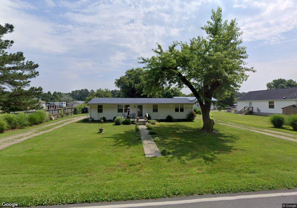
29054 Log Cabin Rd Salisbury, MD 21801
North Salisbury NeighborhoodEstimated Value: $147,000 - $238,000
Studio
1
Bath
1,248
Sq Ft
$152/Sq Ft
Est. Value
About This Home
This home is located at 29054 Log Cabin Rd, Salisbury, MD 21801 and is currently estimated at $190,257, approximately $152 per square foot. 29054 Log Cabin Rd is a home located in Wicomico County with nearby schools including Westside Primary School, Westside Intermediate School, and Salisbury Middle School.
Ownership History
Date
Name
Owned For
Owner Type
Purchase Details
Closed on
Sep 8, 2009
Sold by
Chance Robert B
Bought by
Vickers Flora M and Vickers Kenneth R
Current Estimated Value
Purchase Details
Closed on
May 19, 2000
Sold by
Bandiere Adam
Bought by
Chance Robert B
Purchase Details
Closed on
Dec 2, 1999
Sold by
Carey Roy W
Bought by
Bandiere Adam and Bandiere James Ward
Purchase Details
Closed on
Jan 3, 1995
Sold by
Carey Roy W
Bought by
Carey Roy W
Create a Home Valuation Report for This Property
The Home Valuation Report is an in-depth analysis detailing your home's value as well as a comparison with similar homes in the area
Home Values in the Area
Average Home Value in this Area
Purchase History
| Date | Buyer | Sale Price | Title Company |
|---|---|---|---|
| Vickers Flora M | -- | -- | |
| Chance Robert B | $3,800 | -- | |
| Bandiere Adam | $3,000 | -- | |
| Carey Roy W | -- | -- |
Source: Public Records
Tax History
| Year | Tax Paid | Tax Assessment Tax Assessment Total Assessment is a certain percentage of the fair market value that is determined by local assessors to be the total taxable value of land and additions on the property. | Land | Improvement |
|---|---|---|---|---|
| 2025 | $912 | $93,200 | $0 | $0 |
| 2024 | $900 | $87,600 | $0 | $0 |
| 2023 | $871 | $82,000 | $29,000 | $53,000 |
| 2022 | $888 | $81,300 | $0 | $0 |
| 2021 | $884 | $80,600 | $0 | $0 |
| 2020 | $884 | $79,900 | $29,000 | $50,900 |
| 2019 | $896 | $79,900 | $29,000 | $50,900 |
| 2018 | $900 | $79,900 | $29,000 | $50,900 |
| 2017 | $926 | $82,300 | $0 | $0 |
| 2016 | -- | $82,300 | $0 | $0 |
| 2015 | $916 | $82,300 | $0 | $0 |
| 2014 | $916 | $87,500 | $0 | $0 |
Source: Public Records
Map
Nearby Homes
- 7925 Naas Rd
- 7877 Dublin Rd
- 7860 Bennett Park Dr
- 29167 Doubletree Dr
- 667 Cook Dr
- 1707 West Rd
- LOT 1 Jersey Rd
- Lot 2 Jersey Rd
- Lot 3 Jersey Rd
- 426 Dorsey Ln
- 516 Purnell St
- 0 Log Cabin Rd
- 28600 Naylor Mill Rd
- 1817 Ocean Shore Ln
- Lot D5 International Dr
- 1712 Severn St
- 1505 Jersey Rd
- Lot C2 International Dr
- 516 Overbrook Dr
- 907 Marquis Ave
- 29074 Santa fe Dr
- 29046 Log Cabin Rd
- 29084 Santa fe Dr
- 29063 Bryan Brooke Ln
- 29079 Santa fe Dr
- 29071 Bryan Brooke Ln
- 29100 Santa fe Dr
- 29029 Log Cabin Rd
- 29074 Log Cabin Rd
- 29101 Santa fe Dr
- 29054 Bryan Brooke Ln
- 29091 Bryan Brooke Ln
- 29106 Santa fe Dr
- 29070 Bryan Brooke Ln
- 29025 Log Cabin Rd
- 29040 Bryan Brooke Ln
- 29137 Bryan Brooke Ln
- 29084 Log Cabin Rd
- 29109 Santa fe Dr
- 29078 Bryan Brooke Ln
Your Personal Tour Guide
Ask me questions while you tour the home.