29058 Highway Aa Wright City, MO 63390
Estimated Value: $420,000 - $502,000
Studio
--
Bath
1,762
Sq Ft
$264/Sq Ft
Est. Value
About This Home
This home is located at 29058 Highway Aa, Wright City, MO 63390 and is currently estimated at $465,277, approximately $264 per square foot. 29058 Highway Aa is a home with nearby schools including Rebecca Boone Elementary School, Black Hawk Middle School, and Warrenton High School.
Ownership History
Date
Name
Owned For
Owner Type
Purchase Details
Closed on
Oct 24, 2005
Sold by
Ackmann Mark E
Bought by
Nash Keith A and Nash Lynne D
Current Estimated Value
Home Financials for this Owner
Home Financials are based on the most recent Mortgage that was taken out on this home.
Original Mortgage
$238,000
Outstanding Balance
$124,010
Interest Rate
5.73%
Mortgage Type
New Conventional
Estimated Equity
$341,267
Purchase Details
Closed on
Jan 20, 2005
Sold by
Ackmann Mark E and Ackmann Angela R
Bought by
Ackmann Mark E
Create a Home Valuation Report for This Property
The Home Valuation Report is an in-depth analysis detailing your home's value as well as a comparison with similar homes in the area
Home Values in the Area
Average Home Value in this Area
Purchase History
| Date | Buyer | Sale Price | Title Company |
|---|---|---|---|
| Nash Keith A | -- | None Available | |
| Ackmann Mark E | -- | None Available |
Source: Public Records
Mortgage History
| Date | Status | Borrower | Loan Amount |
|---|---|---|---|
| Open | Nash Keith A | $238,000 |
Source: Public Records
Tax History
| Year | Tax Paid | Tax Assessment Tax Assessment Total Assessment is a certain percentage of the fair market value that is determined by local assessors to be the total taxable value of land and additions on the property. | Land | Improvement |
|---|---|---|---|---|
| 2025 | $3,214 | $53,739 | $3,015 | $50,724 |
| 2024 | $3,214 | $47,558 | $2,668 | $44,890 |
| 2023 | $2,772 | $47,558 | $2,668 | $44,890 |
| 2022 | $2,574 | $44,034 | $2,470 | $41,564 |
| 2021 | $2,574 | $44,034 | $2,470 | $41,564 |
| 2020 | $2,587 | $44,034 | $2,470 | $41,564 |
| 2019 | $2,587 | $44,034 | $0 | $0 |
| 2017 | $2,558 | $44,034 | $0 | $0 |
| 2016 | $2,550 | $44,034 | $0 | $0 |
| 2015 | -- | $44,034 | $0 | $0 |
| 2011 | -- | $44,030 | $0 | $0 |
Source: Public Records
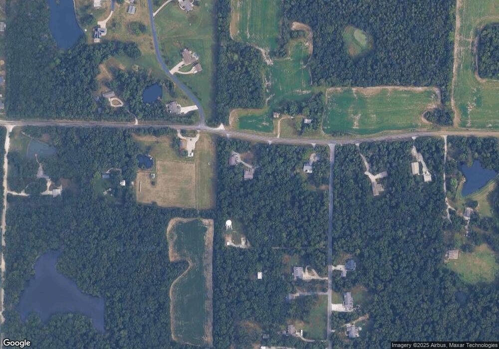
Map
Nearby Homes
- 29086 State Highway Aa
- 1 Stockton @ Walnut Hollow
- 1 Sydney @ Walnut Hollow
- 29514 Walnut Valley Ln
- 29493 Walnut View Dr
- 28723 Woodland Heights Dr
- 28719 Woodland Heights Dr
- 28721 Woodland Heights Dr
- 1 Rochester @ Walnut Hollow
- 1 Rockport @ Walnut Hollow
- 1 Westbrook @ Walnut Hollow
- 1 Sienna @ Walnut Hollow
- 1 Lincoln @ Walnut Hollow
- 28554 Shallow Water Rd
- 28552 Shallow Water Rd
- 28545 Shallow Water Rd
- 28556 Shallow Water Rd
- 18714 Walnut Woods Ct
- 00 N Service Rd
- 300 S Spoede Ln
- 29074 Hwy Aa
- 0 115+ - Acres Lakeside Ln Unit 12007696
- 01.03 Ac State Highway Aa
- 0 Cheshire Lane Lot 2 Greenbriar Unit 14053726
- 29406 Cheshire Ln
- 28995 N Oak Dr
- 28983 N Oak Dr
- 29407 Cheshire Ln
- 29078 Highway Aa
- 29032 Highway Aa
- 28970 N Oak Dr
- 28945 N Oak Dr
- 29037 Highway Aa
- 28998 N Oak Dr
- 29082 Highway Aa
- 29411 Cheshire Ln
- 28964 N Oak Dr
- 28964 N Oak Dr
- 28883 N Oak Dr
- 0Lot 8 N Oak Dr
Your Personal Tour Guide
Ask me questions while you tour the home.