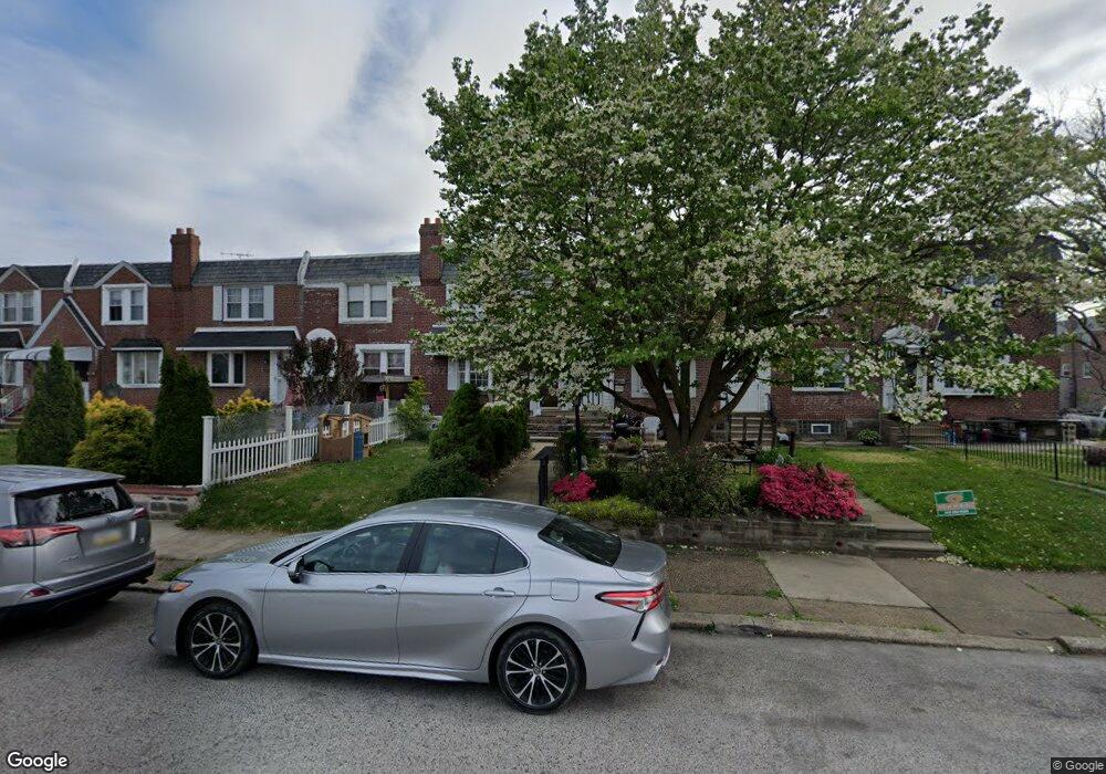
2906 Rawle St Philadelphia, PA 19149
Mayfair NeighborhoodEstimated Value: $246,441 - $272,000
3
Beds
2
Baths
1,120
Sq Ft
$233/Sq Ft
Est. Value
About This Home
This home is located at 2906 Rawle St, Philadelphia, PA 19149 and is currently estimated at $260,610, approximately $232 per square foot. 2906 Rawle St is a home located in Philadelphia County with nearby schools including Lincoln High School, Mayfair Elementary School, and Blessed Trinity Regional Catholic School.
Ownership History
Date
Name
Owned For
Owner Type
Purchase Details
Closed on
Aug 31, 2011
Sold by
Ferrizzi Liza and Perez Jaffe Lisa A
Bought by
Drummond Stefon T
Current Estimated Value
Home Financials for this Owner
Home Financials are based on the most recent Mortgage that was taken out on this home.
Original Mortgage
$139,374
Outstanding Balance
$95,397
Interest Rate
4.25%
Mortgage Type
FHA
Estimated Equity
$165,213
Purchase Details
Closed on
Jun 28, 1999
Sold by
Novak Frank B and Capponi David
Bought by
Perez Jaffe Liza A
Create a Home Valuation Report for This Property
The Home Valuation Report is an in-depth analysis detailing your home's value as well as a comparison with similar homes in the area
Home Values in the Area
Average Home Value in this Area
Purchase History
| Date | Buyer | Sale Price | Title Company |
|---|---|---|---|
| Drummond Stefon T | $143,000 | Title Insurance Company | |
| Perez Jaffe Liza A | $86,000 | -- |
Source: Public Records
Mortgage History
| Date | Status | Borrower | Loan Amount |
|---|---|---|---|
| Open | Drummond Stefon T | $139,374 |
Source: Public Records
Tax History Compared to Growth
Tax History
| Year | Tax Paid | Tax Assessment Tax Assessment Total Assessment is a certain percentage of the fair market value that is determined by local assessors to be the total taxable value of land and additions on the property. | Land | Improvement |
|---|---|---|---|---|
| 2025 | $3,003 | $264,700 | $52,940 | $211,760 |
| 2024 | $3,003 | $264,700 | $52,940 | $211,760 |
| 2023 | $3,003 | $214,500 | $42,900 | $171,600 |
| 2022 | $2,097 | $214,500 | $42,900 | $171,600 |
| 2021 | $2,097 | $0 | $0 | $0 |
| 2020 | $2,097 | $0 | $0 | $0 |
| 2019 | $2,012 | $0 | $0 | $0 |
| 2018 | $1,859 | $0 | $0 | $0 |
| 2017 | $1,859 | $0 | $0 | $0 |
| 2016 | $1,859 | $0 | $0 | $0 |
| 2015 | $1,780 | $0 | $0 | $0 |
| 2014 | -- | $132,800 | $29,571 | $103,229 |
| 2012 | -- | $16,928 | $2,201 | $14,727 |
Source: Public Records
Map
Nearby Homes
- 2816 Knorr St
- 2833 Knorr St
- 2923 Knorr St
- 2943 Knorr St
- 2712 Knorr St
- 2822 Longshore Ave
- 2731 Unruh Ave
- 6749 E Roosevelt Blvd
- 2827 Fanshawe St
- 2711 Unruh Ave
- 2821 Longshore Ave
- 2813 Longshore Ave
- 2840 Fanshawe St
- 2720 Unruh Ave
- 2825 Disston St
- 2923 Disston St
- 3038 Rawle St
- 2249 Knorr St
- 3025 Longshore Ave
- 2944 Tyson Ave