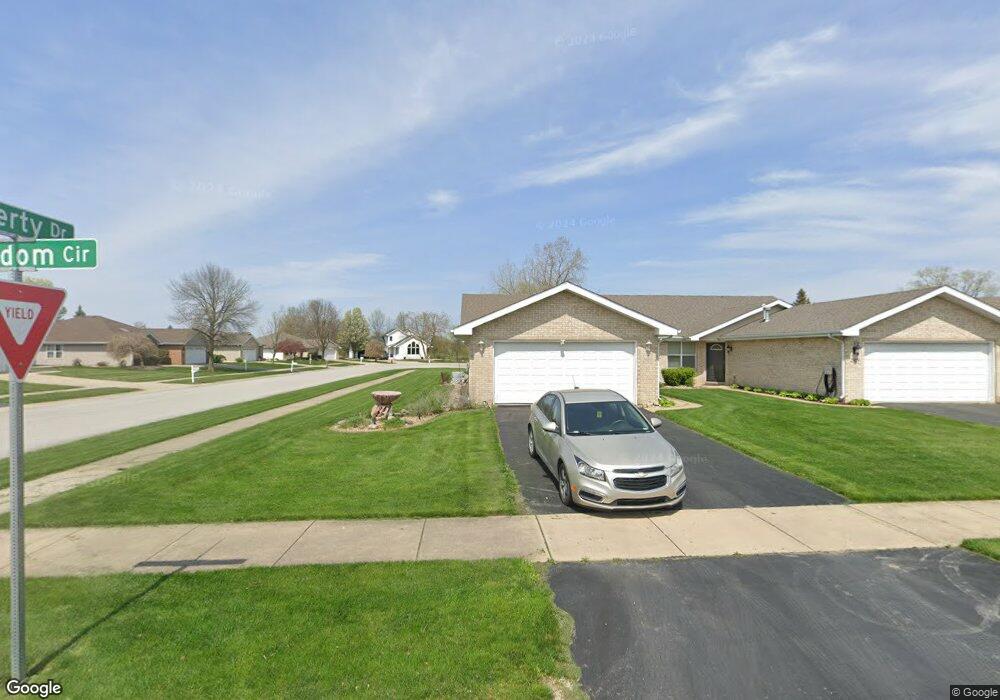
2907 Freedom Cir Crown Point, IN 46307
Estimated Value: $284,803 - $313,000
3
Beds
2
Baths
1,638
Sq Ft
$181/Sq Ft
Est. Value
About This Home
This home is located at 2907 Freedom Cir, Crown Point, IN 46307 and is currently estimated at $296,701, approximately $181 per square foot. 2907 Freedom Cir is a home located in Lake County with nearby schools including Peifer Elementary School, Hal E Clark Middle School, and Lake Central High School.
Ownership History
Date
Name
Owned For
Owner Type
Purchase Details
Closed on
Oct 3, 2024
Sold by
Benjamin Sharon A
Bought by
Simdnovski Sharyn
Current Estimated Value
Purchase Details
Closed on
Nov 5, 2016
Sold by
Benjamin Sharon A
Bought by
Benjamin Sharon A
Purchase Details
Closed on
Aug 4, 2010
Sold by
Benjamin Sharon A and Benjamin Sharyn A
Bought by
Benjamin Sharon A and The Sharona Benjamin Trust
Create a Home Valuation Report for This Property
The Home Valuation Report is an in-depth analysis detailing your home's value as well as a comparison with similar homes in the area
Home Values in the Area
Average Home Value in this Area
Purchase History
| Date | Buyer | Sale Price | Title Company |
|---|---|---|---|
| Simdnovski Sharyn | -- | None Listed On Document | |
| Benjamin Sharon A | -- | None Available | |
| Benjamin Sharon A | -- | None Available |
Source: Public Records
Tax History Compared to Growth
Tax History
| Year | Tax Paid | Tax Assessment Tax Assessment Total Assessment is a certain percentage of the fair market value that is determined by local assessors to be the total taxable value of land and additions on the property. | Land | Improvement |
|---|---|---|---|---|
| 2024 | $4,731 | $262,400 | $39,800 | $222,600 |
| 2023 | $1,696 | $232,300 | $39,800 | $192,500 |
| 2022 | $1,637 | $207,700 | $39,800 | $167,900 |
| 2021 | $1,499 | $197,900 | $39,800 | $158,100 |
| 2020 | $1,445 | $190,200 | $31,300 | $158,900 |
| 2019 | $1,603 | $187,500 | $29,200 | $158,300 |
| 2018 | $1,505 | $178,600 | $29,200 | $149,400 |
| 2017 | $1,323 | $170,500 | $29,200 | $141,300 |
| 2016 | $1,251 | $164,700 | $29,200 | $135,500 |
| 2014 | $1,189 | $166,400 | $29,200 | $137,200 |
| 2013 | $1,196 | $164,200 | $29,200 | $135,000 |
Source: Public Records
Map
Nearby Homes
- 2921 Morningside Dr
- 2914 Morningside Dr
- 1813 Redwood Ct
- 1881 Orchard Ct
- 1896 Azalea Ct
- 5547 Maggie Mae Ct
- 5544 Maggie Mae Ct
- 1785 Wedgewood Ct
- 1765 Wedgewood Ct
- 2720 Painted Leaf Ct
- 6076 Wexford Way
- 5480 Victoria Place
- 2756 Autumn Dr
- 2609 Autumn Dr
- 2543 Harvest Dr
- 8109 Victoria Place
- 6440 W 89th Ave
- 10406 Whitney Place
- 10444 Whitney Place
- 10474 Whitney Place
- 2909 Freedom Cir
- 2913 Freedom Cir
- 2920 Liberty Dr
- 2914 Liberty Dr
- 2915 Freedom Cir
- 2926 Liberty Dr
- 2908 Liberty Dr
- 2922 Freedom Cir
- 2924 Freedom Cir
- 2919 Freedom Cir
- 2932 Liberty Dr
- 2921 Freedom Cir
- 2925 Freedom Cir
- 2931 Freedom Cir
- 2938 Liberty Dr
- 2927 Freedom Cir
- 2850 Liberty Dr
- 2915 Burge Dr
- 2921 Burge Dr
- 2844 Liberty Dr