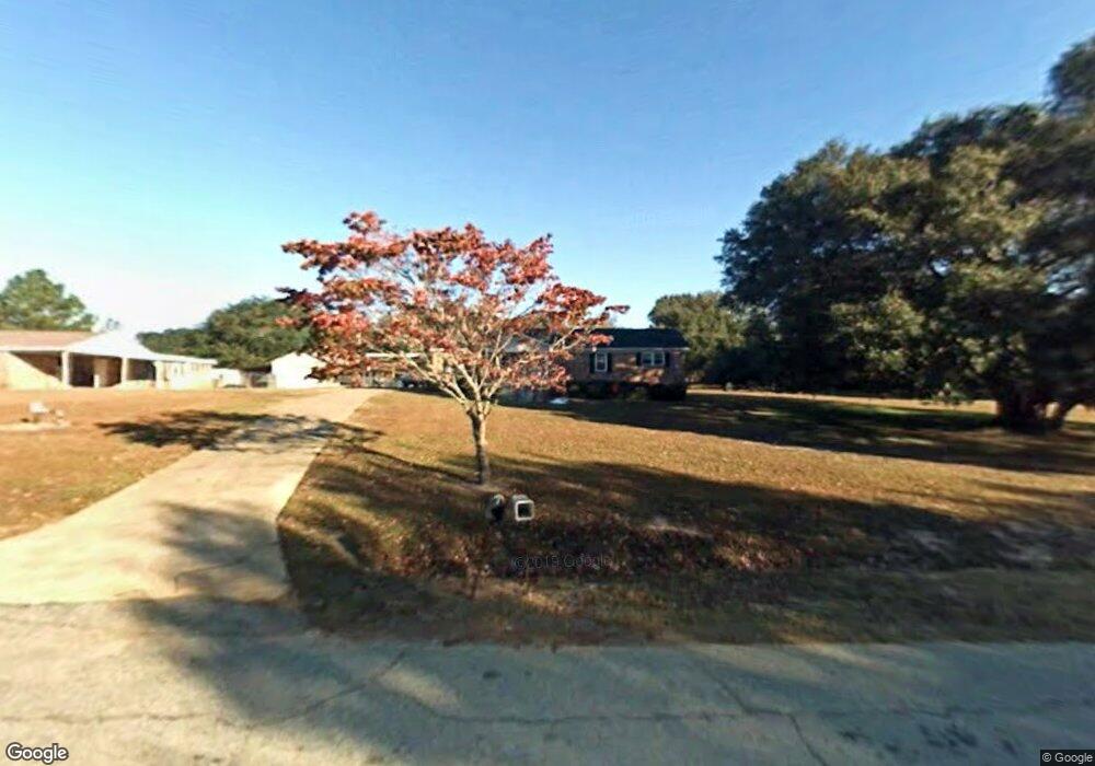
2907 Swallow Ave Albany, GA 31721
Estimated Value: $162,000 - $183,000
4
Beds
3
Baths
1,760
Sq Ft
$98/Sq Ft
Est. Value
About This Home
This home is located at 2907 Swallow Ave, Albany, GA 31721 and is currently estimated at $173,209, approximately $98 per square foot. 2907 Swallow Ave is a home located in Dougherty County with nearby schools including Alice Coachman Elementary School, Southside Middle School, and Monroe High School.
Ownership History
Date
Name
Owned For
Owner Type
Purchase Details
Closed on
Feb 25, 2022
Sold by
Collins Barry D
Bought by
Collins Briana
Current Estimated Value
Purchase Details
Closed on
Jun 27, 2007
Sold by
Collins Crystal Merrian
Bought by
Collins Barry D
Purchase Details
Closed on
Jun 25, 1998
Sold by
Collins Crystal Merrian
Bought by
Collins Crystal Merrian and Collins Barry D
Purchase Details
Closed on
Sep 11, 1997
Sold by
Jones Johnnie Lee
Bought by
Collins Crystal Merrian
Purchase Details
Closed on
Dec 11, 1991
Sold by
Lynda Merrian
Bought by
Jones Johnnie L
Purchase Details
Closed on
Jun 10, 1988
Sold by
Mount Charlie and Mount Con
Bought by
Merrian Lynda
Create a Home Valuation Report for This Property
The Home Valuation Report is an in-depth analysis detailing your home's value as well as a comparison with similar homes in the area
Home Values in the Area
Average Home Value in this Area
Purchase History
| Date | Buyer | Sale Price | Title Company |
|---|---|---|---|
| Collins Briana | $150,000 | -- | |
| Collins Barry D | -- | -- | |
| Collins Crystal Merrian | -- | -- | |
| Collins Crystal Merrian | -- | -- | |
| Jones Johnnie L | -- | -- | |
| Merrian Lynda | $50,000 | -- |
Source: Public Records
Tax History Compared to Growth
Tax History
| Year | Tax Paid | Tax Assessment Tax Assessment Total Assessment is a certain percentage of the fair market value that is determined by local assessors to be the total taxable value of land and additions on the property. | Land | Improvement |
|---|---|---|---|---|
| 2024 | $1,811 | $39,200 | $3,320 | $35,880 |
| 2023 | $1,812 | $39,200 | $3,320 | $35,880 |
| 2022 | $1,816 | $39,200 | $3,320 | $35,880 |
| 2021 | $1,596 | $39,200 | $3,320 | $35,880 |
| 2020 | $1,598 | $39,200 | $3,320 | $35,880 |
| 2019 | $1,602 | $39,200 | $3,320 | $35,880 |
| 2018 | $1,606 | $39,200 | $3,320 | $35,880 |
| 2017 | $1,495 | $39,200 | $3,320 | $35,880 |
| 2016 | $1,496 | $39,200 | $3,320 | $35,880 |
| 2015 | $1,498 | $39,200 | $3,320 | $35,880 |
| 2014 | $1,488 | $39,480 | $3,600 | $35,880 |
Source: Public Records
Map
Nearby Homes
- 0000 Hamilton Dr
- 3610 Slade Ave
- 2613 Lonesome Rd
- 3710 Coakley Ave
- 6224 Newton Rd
- 6413 Newton Rd
- 3211 Higgins Dr
- 2610 North Ave
- 4200 Vanderbilt Dr
- 3108 Higgins Dr
- 5407 Paulk Dr
- 5404 Paulk Dr
- 5616 Newton Rd
- 1610 Lily Pond Rd
- 000 Lily Pond Rd
- 3432 Aristedes Ct
- 1503 Lily Pond Rd
- 906 Lockett Station Rd
- 902 Lockett Station Rd
- 2307 Evergreen Dr
- 2909 Swallow Ave
- 2901 Swallow Ave
- 2902 Leary Rd
- 2910 Swallow Ave
- 3505 Oliver Dr
- 2904 Leary Rd
- 2900 Leary Rd
- 2912 Swallow Ave
- 2912 Leary Rd
- 2909 Thrasher Ave
- 3511 Oliver Dr
- 2914 Swallow Ave
- 2911 Thrasher Ave
- 2903 Leary Rd
- 2914 Leary Rd
- 2913 Thrasher Ave
- 3515 Oliver Dr
- 2915 Thrasher Ave
- 2916 Leary Rd
- 3504 Hamilton Dr