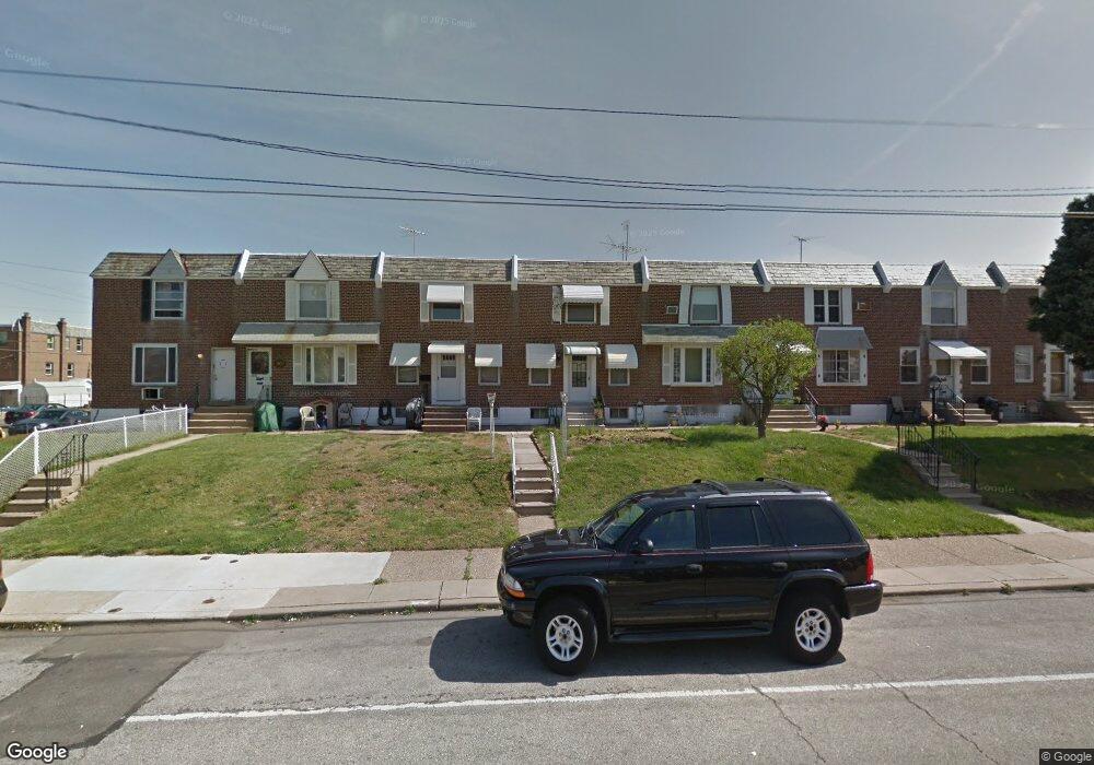
2907 Unruh Ave Philadelphia, PA 19149
Mayfair NeighborhoodEstimated Value: $269,438 - $287,000
3
Beds
2
Baths
1,308
Sq Ft
$213/Sq Ft
Est. Value
About This Home
This home is located at 2907 Unruh Ave, Philadelphia, PA 19149 and is currently estimated at $278,360, approximately $212 per square foot. 2907 Unruh Ave is a home located in Philadelphia County with nearby schools including Lincoln High School, Mayfair Elementary School, and Blessed Trinity Regional Catholic School.
Ownership History
Date
Name
Owned For
Owner Type
Purchase Details
Closed on
Aug 15, 2023
Sold by
Situ Xiao Ling and Liang Shi Niu
Bought by
Liang Mei Ying and Liang Mei Chan
Current Estimated Value
Purchase Details
Closed on
Jun 17, 2010
Sold by
Wong Jamie Y
Bought by
Niu Situ Xiao Ling and Niu Liang Shi
Home Financials for this Owner
Home Financials are based on the most recent Mortgage that was taken out on this home.
Original Mortgage
$108,800
Interest Rate
4.88%
Mortgage Type
New Conventional
Purchase Details
Closed on
Jan 19, 2005
Sold by
Dugan Marion D
Bought by
Wong Jamie Ying
Home Financials for this Owner
Home Financials are based on the most recent Mortgage that was taken out on this home.
Original Mortgage
$111,000
Interest Rate
5.25%
Mortgage Type
Unknown
Create a Home Valuation Report for This Property
The Home Valuation Report is an in-depth analysis detailing your home's value as well as a comparison with similar homes in the area
Home Values in the Area
Average Home Value in this Area
Purchase History
| Date | Buyer | Sale Price | Title Company |
|---|---|---|---|
| Liang Mei Ying | -- | None Listed On Document | |
| Niu Situ Xiao Ling | $136,000 | First American Title Ins Co | |
| Wong Jamie Ying | $143,000 | -- |
Source: Public Records
Mortgage History
| Date | Status | Borrower | Loan Amount |
|---|---|---|---|
| Previous Owner | Niu Situ Xiao Ling | $108,800 | |
| Previous Owner | Wong Jamie Ying | $111,000 |
Source: Public Records
Tax History Compared to Growth
Tax History
| Year | Tax Paid | Tax Assessment Tax Assessment Total Assessment is a certain percentage of the fair market value that is determined by local assessors to be the total taxable value of land and additions on the property. | Land | Improvement |
|---|---|---|---|---|
| 2025 | $3,235 | $285,000 | $57,000 | $228,000 |
| 2024 | $3,235 | $285,000 | $57,000 | $228,000 |
| 2023 | $3,235 | $231,100 | $46,220 | $184,880 |
| 2022 | $1,593 | $186,100 | $46,220 | $139,880 |
| 2021 | $2,223 | $0 | $0 | $0 |
| 2020 | $2,223 | $0 | $0 | $0 |
| 2019 | $2,133 | $0 | $0 | $0 |
| 2018 | $1,508 | $0 | $0 | $0 |
| 2017 | $1,928 | $0 | $0 | $0 |
| 2016 | $1,508 | $0 | $0 | $0 |
| 2015 | $1,443 | $0 | $0 | $0 |
| 2014 | -- | $137,700 | $29,410 | $108,290 |
| 2012 | -- | $17,600 | $2,482 | $15,118 |
Source: Public Records
Map
Nearby Homes
- 2923 Knorr St
- 2943 Knorr St
- 2816 Knorr St
- 2827 Fanshawe St
- 2840 Fanshawe St
- 2833 Knorr St
- 2731 Unruh Ave
- 3038 Rawle St
- 2712 Knorr St
- 2711 Unruh Ave
- 2720 Unruh Ave
- 6749 E Roosevelt Blvd
- 2822 Longshore Ave
- 3013 Gilham St
- 2821 Longshore Ave
- 2813 Longshore Ave
- 6524 Battersby St
- 3025 Longshore Ave
- 2818 Gilham St
- 2845 Hellerman St