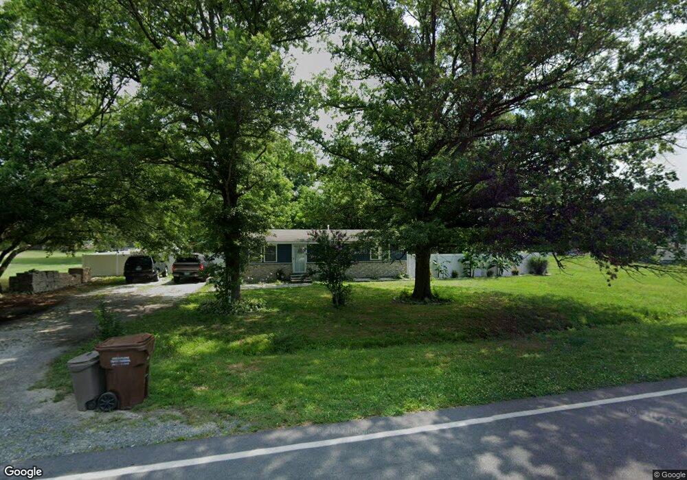
29074 Log Cabin Rd Salisbury, MD 21801
North Salisbury NeighborhoodEstimated Value: $79,000 - $238,000
3
Beds
1
Bath
1,008
Sq Ft
$185/Sq Ft
Est. Value
About This Home
This home is located at 29074 Log Cabin Rd, Salisbury, MD 21801 and is currently estimated at $186,020, approximately $184 per square foot. 29074 Log Cabin Rd is a home located in Wicomico County with nearby schools including Westside Primary School, Westside Intermediate School, and Salisbury Middle School.
Ownership History
Date
Name
Owned For
Owner Type
Purchase Details
Closed on
Jun 23, 2016
Sold by
Fannie Mae
Bought by
Castillo Filiberto Hernandez and Tamayo Janet Calles
Current Estimated Value
Purchase Details
Closed on
Dec 3, 2014
Sold by
Ward James H and West Annabell L
Bought by
Federal National Mortgage Association and Fannie Mae
Purchase Details
Closed on
Feb 9, 2009
Sold by
Ward James H and Ward Elizah T
Bought by
Ward James H and Ward Annabell L
Create a Home Valuation Report for This Property
The Home Valuation Report is an in-depth analysis detailing your home's value as well as a comparison with similar homes in the area
Home Values in the Area
Average Home Value in this Area
Purchase History
| Date | Buyer | Sale Price | Title Company |
|---|---|---|---|
| Castillo Filiberto Hernandez | $29,000 | First American Title Ins Co | |
| Federal National Mortgage Association | $29,000 | None Available | |
| Ward James H | -- | -- |
Source: Public Records
Mortgage History
| Date | Status | Borrower | Loan Amount |
|---|---|---|---|
| Closed | Ward James H | -- |
Source: Public Records
Tax History Compared to Growth
Tax History
| Year | Tax Paid | Tax Assessment Tax Assessment Total Assessment is a certain percentage of the fair market value that is determined by local assessors to be the total taxable value of land and additions on the property. | Land | Improvement |
|---|---|---|---|---|
| 2025 | $751 | $75,967 | $0 | $0 |
| 2024 | $751 | $72,033 | $0 | $0 |
| 2023 | $733 | $68,100 | $30,200 | $37,900 |
| 2022 | $747 | $67,433 | $0 | $0 |
| 2021 | $416 | $66,767 | $0 | $0 |
| 2020 | $742 | $66,100 | $30,200 | $35,900 |
| 2019 | $752 | $66,100 | $30,200 | $35,900 |
| 2018 | $755 | $66,100 | $30,200 | $35,900 |
| 2017 | $776 | $68,100 | $0 | $0 |
| 2016 | -- | $68,100 | $0 | $0 |
| 2015 | $776 | $68,100 | $0 | $0 |
| 2014 | $776 | $73,300 | $0 | $0 |
Source: Public Records
Map
Nearby Homes
- 28955 Log Cabin Rd
- 29167 Doubletree Dr
- 667 Cook Dr
- 1707 West Rd
- 1710 Wilson Ln Unit 1
- 1621 Waconia Dr
- 414 Sarah Ln
- 516 Purnell St
- 1618 West Rd
- 1606 Towson Ave
- 0 Milford Twilley Dr Unit MDWC2013476
- 0 Log Cabin Rd
- 28600 Naylor Mill Rd
- 1817 Ocean Shore Ln
- 1816 Ocean Shore Dr
- Lot D5 International Dr
- Lot C2 International Dr
- 516 Overbrook Dr
- 650 Suffolk Ct
- JEFFERSON Plan at Sassafras Meadows
- 29079 Santa fe Dr
- 29084 Log Cabin Rd
- 29101 Santa fe Dr
- 29106 Naylor Mill Rd
- 29109 Santa fe Dr
- 29074 Santa fe Dr
- 29116 Naylor Mill Rd
- 29100 Santa fe Dr
- 29084 Santa fe Dr
- 29129 Santa fe Dr
- 29054 Log Cabin Rd
- 29106 Santa fe Dr
- 29116 Santa fe Dr
- 29126 Naylor Mill Rd
- 29046 Log Cabin Rd
- 29071 Bryan Brooke Ln
- 29136 Santa fe Dr
- 29063 Bryan Brooke Ln
- 29126 Santa fe Dr
- 29137 Bryan Brooke Ln