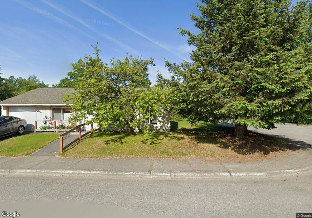
2908 Aspen Grove Ct Anchorage, AK 99508
Airport Heights NeighborhoodEstimated Value: $163,000 - $327,000
3
Beds
1
Bath
988
Sq Ft
$247/Sq Ft
Est. Value
About This Home
This home is located at 2908 Aspen Grove Ct, Anchorage, AK 99508 and is currently estimated at $244,425, approximately $247 per square foot. 2908 Aspen Grove Ct is a home located in Anchorage Municipality with nearby schools including Airport Heights Elementary School, Wendler Middle School, and Bettye Davis East Anchorage High School.
Ownership History
Date
Name
Owned For
Owner Type
Purchase Details
Closed on
Oct 30, 1990
Sold by
Snodgrass Buford M and Snodgrass Charlene
Bought by
Arehart David B
Current Estimated Value
Home Financials for this Owner
Home Financials are based on the most recent Mortgage that was taken out on this home.
Original Mortgage
$58,439
Interest Rate
10.3%
Mortgage Type
FHA
Create a Home Valuation Report for This Property
The Home Valuation Report is an in-depth analysis detailing your home's value as well as a comparison with similar homes in the area
Home Values in the Area
Average Home Value in this Area
Purchase History
| Date | Buyer | Sale Price | Title Company |
|---|---|---|---|
| Arehart David B | -- | -- | |
| Arehart David B | -- | -- |
Source: Public Records
Mortgage History
| Date | Status | Borrower | Loan Amount |
|---|---|---|---|
| Closed | Arehart David B | $58,439 |
Source: Public Records
Tax History Compared to Growth
Tax History
| Year | Tax Paid | Tax Assessment Tax Assessment Total Assessment is a certain percentage of the fair market value that is determined by local assessors to be the total taxable value of land and additions on the property. | Land | Improvement |
|---|---|---|---|---|
| 2025 | $530 | $272,200 | $87,000 | $185,200 |
| 2024 | $530 | $257,800 | $87,000 | $170,800 |
| 2023 | $3,987 | $234,100 | $87,000 | $147,100 |
| 2022 | $3,166 | $235,000 | $87,000 | $148,000 |
| 2021 | $3,802 | $211,000 | $87,000 | $124,000 |
| 2020 | $2,880 | $212,100 | $87,000 | $125,100 |
| 2019 | $2,750 | $210,100 | $87,000 | $123,100 |
| 2018 | $2,687 | $204,800 | $81,700 | $123,100 |
| 2017 | $2,928 | $207,000 | $81,700 | $125,300 |
| 2016 | $2,308 | $194,000 | $70,200 | $123,800 |
| 2015 | $2,308 | $189,800 | $70,200 | $119,600 |
| 2014 | $2,308 | $181,500 | $62,100 | $119,400 |
Source: Public Records
Map
Nearby Homes
- 1729 Sunrise Dr
- 000 Tr A Thurston
- 1701 Aleutian St
- 2215 Sunburst Cir
- 3433 E 18th Ave
- 2680 Lovejoy Dr
- 2066 Cliffside Dr Unit 10-B2
- 1661 Eastridge Dr Unit 101
- 1430 Columbine St
- 3401 E 15th Ave
- 1635 Sitka St Unit 14-302
- 1803 Parkside Dr
- 1611 Eastridge Dr Unit 201
- 2620 Sorbus Cir
- 1413 Wintergreen St
- 4045 E 20th Ave Unit A73
- 4069 E 20th Ave Unit 51
- 4294 Reka Dr Unit 4294
- 2456 Cottonwood St
- 3240 Penland Pkwy Unit 126
- 2106 Sunrise Dr
- 2828 Aspen Grove Ct
- 2118 Sunrise Dr
- 2818 Aspen Grove Ct
- 2124 Sunrise Dr
- 2125 Alder Dr
- 2909 Aspen Grove Ct
- 2829 Aspen Grove Ct
- 2018 Sunrise Dr
- 2133 Alder Dr
- 2111 Alder Dr
- 2819 Aspen Grove Ct
- 2132 Sunrise Dr
- 2119 Sunrise Dr
- 2143 Alder Dr
- 2111 Sunrise Dr
- 2811 Aspen Grove Ct
- 2101 Sunrise Dr
- 2129 Sunrise Dr
- 2029 Sunrise Dr