2908 Marrcrest W Provo, UT 84604
Riverside NeighborhoodEstimated Value: $347,000 - $430,000
3
Beds
2
Baths
1,080
Sq Ft
$356/Sq Ft
Est. Value
About This Home
This home is located at 2908 Marrcrest W, Provo, UT 84604 and is currently estimated at $384,799, approximately $356 per square foot. 2908 Marrcrest W is a home located in Utah County with nearby schools including Canyon Crest Elementary School, Centennial Middle School, and Timpview High School.
Ownership History
Date
Name
Owned For
Owner Type
Purchase Details
Closed on
Apr 14, 2017
Sold by
Akagi Property L C
Bought by
Sanderson Ian D
Current Estimated Value
Home Financials for this Owner
Home Financials are based on the most recent Mortgage that was taken out on this home.
Original Mortgage
$100,000
Outstanding Balance
$82,963
Interest Rate
4.1%
Mortgage Type
New Conventional
Estimated Equity
$301,836
Purchase Details
Closed on
May 23, 2016
Sold by
West Akagi Investments Llc
Bought by
Akagi Property Lc
Purchase Details
Closed on
May 11, 2015
Sold by
Rj Investments 2918 Llc
Bought by
West Akagi Investments Llc
Purchase Details
Closed on
Mar 1, 2012
Sold by
Jerold J Simons Properties L C
Bought by
West Akagi Investments Llc
Create a Home Valuation Report for This Property
The Home Valuation Report is an in-depth analysis detailing your home's value as well as a comparison with similar homes in the area
Home Values in the Area
Average Home Value in this Area
Purchase History
We collect this data history from publicly available records. To have your information removed, we recommend requesting removal directly through your county’s website.
| Date | Buyer | Sale Price | Title Company |
|---|---|---|---|
| Sanderson Ian D | -- | Title West | |
| Akagi Property Lc | -- | First American Title Ins Age | |
| West Akagi Investments Llc | -- | First American | |
| West Akagi Investments Llc | -- | First American Title Company |
Source: Public Records
Mortgage History
We collect this data history from publicly available records. To have your information removed, we recommend requesting removal directly through your county’s website.
| Date | Status | Borrower | Loan Amount |
|---|---|---|---|
| Open | Sanderson Ian D | $100,000 |
Source: Public Records
Tax History
| Year | Tax Paid | Tax Assessment Tax Assessment Total Assessment is a certain percentage of the fair market value that is determined by local assessors to be the total taxable value of land and additions on the property. | Land | Improvement |
|---|---|---|---|---|
| 2025 | $1,755 | $175,615 | -- | -- |
| 2024 | $1,755 | $172,755 | $0 | $0 |
| 2023 | $1,606 | $155,815 | $0 | $0 |
| 2022 | $1,651 | $161,590 | $0 | $0 |
| 2021 | $1,294 | $220,900 | $33,100 | $187,800 |
| 2020 | $1,265 | $202,300 | $30,300 | $172,000 |
| 2019 | $1,130 | $188,000 | $47,000 | $141,000 |
| 2018 | $1,071 | $180,800 | $47,000 | $133,800 |
| 2017 | $1,031 | $95,590 | $0 | $0 |
| 2016 | $1,006 | $86,900 | $0 | $0 |
| 2015 | $868 | $75,845 | $0 | $0 |
| 2014 | $694 | $63,195 | $0 | $0 |
Source: Public Records
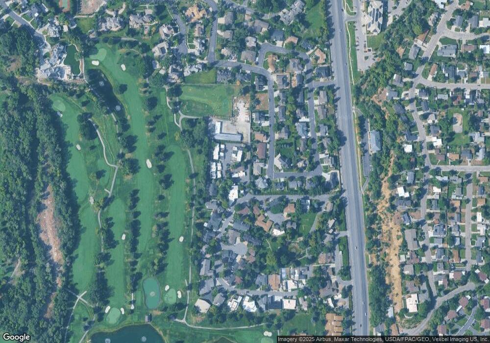
Map
Nearby Homes
- 3013 N 100 W
- 3057 N 100 W
- 3221 Shadowbrook Cir
- 211 W 3200 N Unit 7
- 227 E 3060 N
- 158 Woodside Dr
- 2774 N 370 E
- 525 E 2780 N
- 1360 S Carterville Rd
- 5600 N Canyon Rd
- 1155 S Palisades Dr
- 2244 N Canyon Rd Unit 212
- 223 W 2230 N Unit 14
- 241 W 2230 N Unit 18
- 576 E 3460 N
- 2212 N 200 E
- 240 E 2230 N Unit 7
- 404 W 3700 N
- 136 E 3800 N
- 431 W 2310 N
- 2939 N Marrcrest Dr W
- 2939 Marrcrest W
- 2959 Marrcrest W
- 2919 Marrcrest W
- 2959 N Marrcrest Dr W
- 2899 Marrcrest W
- 2979 Marrcrest W
- 2999 Marrcrest W
- 3009 Marrcrest W
- 2942 Marrcrest W
- 2932 Marrcrest W
- 2897 Marrcrest W
- 3029 Marrcrest W
- 2960 Marrcrest W
- 2918 Marrcrest W
- 2918 Marrcrest W Unit 2918
- 2982 Marrcrest W
- 2891 Marrcrest W
- 2998 Marrcrest W
- 3018 Marrcrest W
Your Personal Tour Guide
Ask me questions while you tour the home.