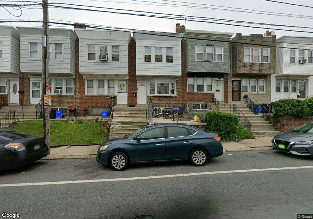
2908 Robbins Ave Philadelphia, PA 19149
Mayfair NeighborhoodEstimated Value: $197,000 - $233,000
3
Beds
2
Baths
1,068
Sq Ft
$201/Sq Ft
Est. Value
About This Home
This home is located at 2908 Robbins Ave, Philadelphia, PA 19149 and is currently estimated at $215,000, approximately $201 per square foot. 2908 Robbins Ave is a home with nearby schools including Lincoln High School, Ethan Allen School, and Blessed Trinity Regional Catholic School.
Ownership History
Date
Name
Owned For
Owner Type
Purchase Details
Closed on
Mar 22, 2021
Sold by
Li Yun
Bought by
Chen Qidong
Current Estimated Value
Purchase Details
Closed on
Sep 2, 2018
Sold by
Chen Xin Xing
Bought by
Li Yun
Purchase Details
Closed on
May 31, 2016
Sold by
Bartolett Helen
Bought by
Chen Xin Xing
Purchase Details
Closed on
Nov 18, 2014
Sold by
Bartolett Helen and The Estate Of Paul J Bartolett
Bought by
Bartolett Helen
Purchase Details
Closed on
Oct 9, 2000
Sold by
Bartolett Helen
Bought by
Bartolett Paul J
Create a Home Valuation Report for This Property
The Home Valuation Report is an in-depth analysis detailing your home's value as well as a comparison with similar homes in the area
Home Values in the Area
Average Home Value in this Area
Purchase History
| Date | Buyer | Sale Price | Title Company |
|---|---|---|---|
| Chen Qidong | $80,000 | First City Abstract Agcy Inc | |
| Li Yun | $65,000 | Quality Abstract Services In | |
| Chen Xin Xing | $76,000 | Qaulity Abstract Svcs Inc | |
| Bartolett Helen | -- | None Available | |
| Bartolett Paul J | -- | -- |
Source: Public Records
Tax History Compared to Growth
Tax History
| Year | Tax Paid | Tax Assessment Tax Assessment Total Assessment is a certain percentage of the fair market value that is determined by local assessors to be the total taxable value of land and additions on the property. | Land | Improvement |
|---|---|---|---|---|
| 2025 | $2,157 | $218,100 | $43,620 | $174,480 |
| 2024 | $2,157 | $218,100 | $43,620 | $174,480 |
| 2023 | $2,157 | $154,100 | $30,820 | $123,280 |
| 2022 | $1,620 | $154,100 | $30,820 | $123,280 |
| 2021 | $1,620 | $0 | $0 | $0 |
| 2020 | $1,620 | $0 | $0 | $0 |
| 2019 | $1,554 | $0 | $0 | $0 |
| 2018 | $1,621 | $0 | $0 | $0 |
| 2017 | $1,621 | $0 | $0 | $0 |
| 2016 | $1,411 | $0 | $0 | $0 |
| 2015 | $1,351 | $0 | $0 | $0 |
| 2014 | -- | $115,800 | $14,676 | $101,124 |
| 2012 | -- | $17,248 | $1,267 | $15,981 |
Source: Public Records
Map
Nearby Homes
- 2916 Levick St
- 6333 Mershon St
- 6233 Cardiff St
- 6204 Mershon St
- 2940 Devereaux Ave
- 2910 Passmore St
- 6200 Cardiff St
- 2911 Passmore St
- 2818 Hellerman St
- 3134 Stirling St
- 6241 Frankford Ave
- 6239 Frankford Ave
- 4623 Hawthorne St
- 6143 Hawthorne St
- 6524 Battersby St
- 3148 Barnett St
- 3153 Barnett St
- 4007 Higbee St
- 2818 Gilham St
- 6219 Mulberry St