2908 W 5700 S Wellsville, UT 84339
Estimated Value: $1,188,393 - $2,306,000
6
Beds
6
Baths
8,161
Sq Ft
$226/Sq Ft
Est. Value
About This Home
This home is located at 2908 W 5700 S, Wellsville, UT 84339 and is currently estimated at $1,841,464, approximately $225 per square foot. 2908 W 5700 S is a home located in Cache County with nearby schools including Wellsville School, South Cache Middle School, and Mountain Crest High School.
Ownership History
Date
Name
Owned For
Owner Type
Purchase Details
Closed on
Jan 29, 2024
Sold by
Mtse Holdings 2023008 Llc
Bought by
Dimick Charles A and Dimick Valerie S
Current Estimated Value
Purchase Details
Closed on
Dec 26, 2023
Sold by
Mtse Holdings2023012 Llc
Bought by
Korfavoro Properties Llc
Purchase Details
Closed on
Apr 2, 2020
Sold by
Gunnell Staci Fullmer and Big Green Tractor Llc
Bought by
Gunnell Staci Fullmer and Gunnell Staci Fullmer
Purchase Details
Closed on
May 18, 2011
Sold by
Gunnell Staci F
Bought by
Gunnell Lance Franklin and Gunnell Staci Fullmer
Create a Home Valuation Report for This Property
The Home Valuation Report is an in-depth analysis detailing your home's value as well as a comparison with similar homes in the area
Home Values in the Area
Average Home Value in this Area
Purchase History
| Date | Buyer | Sale Price | Title Company |
|---|---|---|---|
| Dimick Charles A | -- | Hickman Land Title | |
| Korfavoro Properties Llc | -- | Advanced Title | |
| Gunnell Staci Fullmer | -- | None Available | |
| Gunnell Lance Franklin | -- | None Available |
Source: Public Records
Tax History Compared to Growth
Tax History
| Year | Tax Paid | Tax Assessment Tax Assessment Total Assessment is a certain percentage of the fair market value that is determined by local assessors to be the total taxable value of land and additions on the property. | Land | Improvement |
|---|---|---|---|---|
| 2025 | $7,848 | $1,282,795 | $0 | $0 |
| 2024 | $4,092 | $619,030 | $0 | $0 |
| 2023 | $5,634 | $797,135 | $0 | $0 |
| 2022 | $5,896 | $797,130 | $0 | $0 |
| 2021 | $5,124 | $980,240 | $104,500 | $875,740 |
| 2020 | $4,585 | $820,956 | $104,500 | $716,456 |
| 2019 | $4,851 | $820,956 | $104,500 | $716,456 |
| 2018 | $4,527 | $737,862 | $104,500 | $633,362 |
| 2017 | $4,666 | $444,355 | $0 | $0 |
| 2016 | $4,723 | $441,605 | $0 | $0 |
| 2015 | $4,043 | $381,270 | $0 | $0 |
| 2014 | $3,919 | $381,270 | $0 | $0 |
| 2013 | -- | $381,270 | $0 | $0 |
Source: Public Records
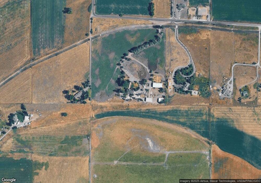
Map
Nearby Homes
- 2815 W 5700 S Unit 2
- 2815 W 5700 S Unit 1
- 3798 W 6100 S
- 3300 W 5400 S
- 6400 S 2633 W Unit 5
- 1600 W 1800 S
- 200 W Aspen Way N
- 275 S 300 E
- 338 N 1090 W
- 4633 S Highway 89
- 2710 W 6400 S Unit 1
- 2650 W 6400 S Unit 3
- 791 W 20 N
- 781 W 85 S
- 798 W 50 N
- 58 N 775 W Unit 82
- 42 E 200 S
- 697 W 20 N
- 661 W 20 N
- 248 W 600 S Unit 3
- 3182 W 5700 S
- 2836 W 5700 S
- 2740 W 5700 S
- 2734 W 5700 S
- 2875 W 5700 S Unit 4
- 2875 W 5700 S
- 5842 S 3200 W
- 0 W 5700 S
- 2895 W 5700 S Unit 5
- 2680 W 5700 S
- 2855 W 5700 S
- 3161 W 5880 S
- 2901 W 5700 S
- 3117 W 5600 S
- 5870 S 3200 W Unit 2
- 5890 S 3200 W
- 2670 W 5700 S Unit 5
- 2640 W 5700 S
- 2660 W 5700 S Unit 5
- 2660 W 5700 S