29082 Highway Aa Wright City, MO 63390
Estimated Value: $343,719 - $441,000
3
Beds
2
Baths
2,110
Sq Ft
$181/Sq Ft
Est. Value
About This Home
This home is located at 29082 Highway Aa, Wright City, MO 63390 and is currently estimated at $381,573, approximately $180 per square foot. 29082 Highway Aa is a home located in Warren County with nearby schools including Rebecca Boone Elementary School, Black Hawk Middle School, and Warrenton High School.
Ownership History
Date
Name
Owned For
Owner Type
Purchase Details
Closed on
Aug 14, 2014
Sold by
Sumpter Richard D
Bought by
Sumpter Richard D and Gwin Marilyn L
Current Estimated Value
Purchase Details
Closed on
Nov 14, 2008
Sold by
Jones Ronald J
Bought by
Sumpter Richard D
Home Financials for this Owner
Home Financials are based on the most recent Mortgage that was taken out on this home.
Original Mortgage
$82,500
Outstanding Balance
$53,435
Interest Rate
5.98%
Mortgage Type
New Conventional
Estimated Equity
$328,138
Create a Home Valuation Report for This Property
The Home Valuation Report is an in-depth analysis detailing your home's value as well as a comparison with similar homes in the area
Home Values in the Area
Average Home Value in this Area
Purchase History
| Date | Buyer | Sale Price | Title Company |
|---|---|---|---|
| Sumpter Richard D | -- | None Available | |
| Sumpter Richard D | -- | None Available |
Source: Public Records
Mortgage History
| Date | Status | Borrower | Loan Amount |
|---|---|---|---|
| Open | Sumpter Richard D | $82,500 |
Source: Public Records
Tax History
| Year | Tax Paid | Tax Assessment Tax Assessment Total Assessment is a certain percentage of the fair market value that is determined by local assessors to be the total taxable value of land and additions on the property. | Land | Improvement |
|---|---|---|---|---|
| 2025 | $1,931 | $32,277 | $3,015 | $29,262 |
| 2024 | $1,768 | $28,564 | $2,668 | $25,896 |
| 2023 | $1,665 | $28,564 | $2,668 | $25,896 |
| 2022 | $1,546 | $26,448 | $2,470 | $23,978 |
| 2021 | $1,546 | $26,448 | $2,470 | $23,978 |
| 2020 | $1,554 | $26,448 | $2,470 | $23,978 |
| 2019 | $1,554 | $26,448 | $0 | $0 |
| 2017 | $1,537 | $26,448 | $0 | $0 |
| 2016 | $1,532 | $26,448 | $0 | $0 |
| 2015 | -- | $24,191 | $0 | $0 |
| 2011 | -- | $20,890 | $0 | $0 |
Source: Public Records
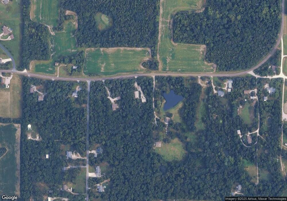
Map
Nearby Homes
- 29086 State Highway Aa
- 00 N Service Rd
- 1 Stockton @ Walnut Hollow
- 1 Sydney @ Walnut Hollow
- 29514 Walnut Valley Ln
- 2 Bblt Ashby at Elkhorn Ridge
- 2 Bblt Oakland at Elkhorn Ridge
- 3 Bblt Elmhurst at Elkhorn Ridge
- 2 Bblt Cypress at Elkhorn Ridge
- 2 Bblt Bradford at Elkhorn Ridge
- 3 Bblt Bradford at Elkhorn Ridge
- 3 Bblt Cypress at Elkhorn Ridge
- 3 Bblt Ashby at Elkhorn Ridge
- 3 Bblt Hawthorn at Elkhorn Ridge
- 3 Bblt Oakland at Elkhorn Ridge
- 2 Bblt Hawthorn at Elkhorn Ridge
- 2 Bblt Elmhurst at Elkhorn Ridge
- 29493 Walnut View Dr
- 1 Rochester @ Walnut Hollow
- 1 Rockport @ Walnut Hollow
- 29078 Highway Aa
- 29086 Highway Aa
- 29086 Highway Aa
- 28998 N Oak Dr
- 29074 Hwy Aa
- 28970 N Oak Dr
- 28995 N Oak Dr
- 29098 Highway Aa
- 28964 N Oak Dr
- 28964 N Oak Dr
- 28983 N Oak Dr
- 29058 Highway Aa
- 28880 N Oak Dr
- 0Lot 8 N Oak Dr
- 8Lot N Oak Dr
- 28945 N Oak Dr
- 28872 N Oak Dr
- 28823 Riley Grove Ln
- 28883 N Oak Dr
- 28991 Riley Grove Ln
Your Personal Tour Guide
Ask me questions while you tour the home.