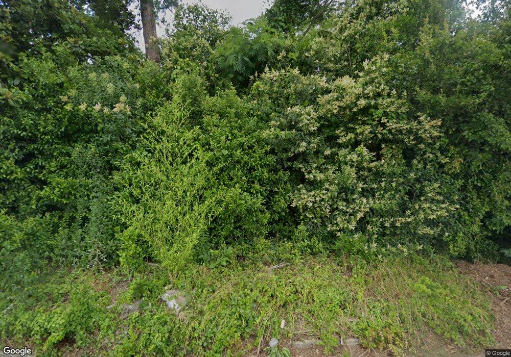
2909 Hollis Rd Macon, GA 31206
Estimated Value: $47,000 - $108,000
2
Beds
1
Bath
962
Sq Ft
$75/Sq Ft
Est. Value
About This Home
This home is located at 2909 Hollis Rd, Macon, GA 31206 and is currently estimated at $71,703, approximately $74 per square foot. 2909 Hollis Rd is a home located in Bibb County with nearby schools including Hartley Elementary School, Southwest High School, and Cirrus Charter Academy.
Ownership History
Date
Name
Owned For
Owner Type
Purchase Details
Closed on
Feb 22, 2006
Sold by
Walton Julius T
Bought by
Glover Milika
Current Estimated Value
Home Financials for this Owner
Home Financials are based on the most recent Mortgage that was taken out on this home.
Original Mortgage
$19,000
Outstanding Balance
$10,540
Interest Rate
6.05%
Mortgage Type
Stand Alone Second
Estimated Equity
$61,163
Purchase Details
Closed on
Sep 22, 2000
Purchase Details
Closed on
Oct 6, 1999
Create a Home Valuation Report for This Property
The Home Valuation Report is an in-depth analysis detailing your home's value as well as a comparison with similar homes in the area
Purchase History
| Date | Buyer | Sale Price | Title Company |
|---|---|---|---|
| Glover Milika | -- | None Available | |
| -- | $43,000 | -- | |
| -- | $19,500 | -- |
Source: Public Records
Mortgage History
| Date | Status | Borrower | Loan Amount |
|---|---|---|---|
| Open | Glover Milika | $19,000 | |
| Open | Glover Milika | $76,000 |
Source: Public Records
Tax History
| Year | Tax Paid | Tax Assessment Tax Assessment Total Assessment is a certain percentage of the fair market value that is determined by local assessors to be the total taxable value of land and additions on the property. | Land | Improvement |
|---|---|---|---|---|
| 2025 | $263 | $10,705 | $2,257 | $8,448 |
| 2024 | $263 | $10,338 | $2,257 | $8,081 |
| 2023 | $265 | $8,958 | $1,612 | $7,346 |
| 2022 | $173 | $4,994 | $1,966 | $3,028 |
| 2021 | $193 | $5,078 | $1,966 | $3,112 |
| 2020 | $175 | $4,512 | $1,966 | $2,546 |
| 2019 | $177 | $4,512 | $1,966 | $2,546 |
| 2018 | $450 | $4,512 | $1,966 | $2,546 |
| 2017 | $169 | $4,512 | $1,966 | $2,546 |
| 2016 | $156 | $4,512 | $1,966 | $2,546 |
| 2015 | $221 | $4,512 | $1,966 | $2,546 |
| 2014 | $254 | $4,512 | $1,966 | $2,546 |
Source: Public Records
Map
Nearby Homes
- 3005 Margaret Dr
- 1066 Jessamine St
- 3064 Margaret Dr
- 1062 Rose St
- 999 Ponce de Leon Cir N
- 968 Quinlan Dr
- 982 Ponce de Leon Cir S
- 946 Ponce de Leon Cir
- 932 Quinlan Dr
- 3210 Evergreen Dr
- 2445 Adams Ave
- 3141 Edlay Place
- 3242 Evergreen Dr
- 2420 Adams Ave
- 1138 Newberg Ave
- 1464 Williamson Rd
- 911 Ponce de Leon Cir S
- 823 Ponce de Leon Ave
- 837 Lackey Dr
- 780 Ponce de Leon Ave
- 2921 Hollis Rd
- 1138 Ruben Dr
- 2891 Hollis Rd Unit 66
- 2931 Hollis Rd
- 1148 Ruben Dr
- 2945 Hollis Rd
- 2926 Hireland Terrace
- 1139 Ruben Dr
- 2879 Hollis Rd
- 1149 Ruben Dr
- 1095 Brisbane St
- 1089 Brisbane St
- 2847 Hollis Rd
- 1081 Brisbane St
- 2921 Hireland Terrace
- 1170 Ruben Dr
- 1181 Ruben Dr
- 1075 Brisbane St
- 3003 Melbourne St
- 2945 Hireland Terrace
