Estimated Value: $291,000 - $344,000
4
Beds
3
Baths
1,720
Sq Ft
$181/Sq Ft
Est. Value
About This Home
This home is located at 2909 N Z Rd, Polk, NE 68654 and is currently estimated at $310,532, approximately $180 per square foot. 2909 N Z Rd is a home located in Hamilton County with nearby schools including High Plains Community School, High Plains Elementary/Polk, and High Plains Community Middle School.
Ownership History
Date
Name
Owned For
Owner Type
Purchase Details
Closed on
Oct 17, 2006
Sold by
Pickrel Alan W and Pickrel Debra L
Bought by
Swedenburg Curtis M and Swedenburg Cara L
Current Estimated Value
Home Financials for this Owner
Home Financials are based on the most recent Mortgage that was taken out on this home.
Original Mortgage
$121,125
Outstanding Balance
$72,278
Interest Rate
6.46%
Estimated Equity
$238,254
Create a Home Valuation Report for This Property
The Home Valuation Report is an in-depth analysis detailing your home's value as well as a comparison with similar homes in the area
Home Values in the Area
Average Home Value in this Area
Purchase History
| Date | Buyer | Sale Price | Title Company |
|---|---|---|---|
| Swedenburg Curtis M | $128,000 | -- |
Source: Public Records
Mortgage History
| Date | Status | Borrower | Loan Amount |
|---|---|---|---|
| Open | Swedenburg Curtis M | $121,125 |
Source: Public Records
Tax History Compared to Growth
Tax History
| Year | Tax Paid | Tax Assessment Tax Assessment Total Assessment is a certain percentage of the fair market value that is determined by local assessors to be the total taxable value of land and additions on the property. | Land | Improvement |
|---|---|---|---|---|
| 2024 | $1,078 | $211,380 | $52,100 | $159,280 |
| 2023 | $1,625 | $197,375 | $45,680 | $151,695 |
| 2022 | $1,673 | $191,665 | $39,970 | $151,695 |
| 2021 | $1,701 | $191,665 | $39,970 | $151,695 |
| 2020 | $1,497 | $166,190 | $39,970 | $126,220 |
| 2019 | $1,420 | $160,835 | $34,615 | $126,220 |
| 2018 | $1,339 | $160,835 | $34,615 | $126,220 |
| 2017 | $1,239 | $155,125 | $28,905 | $126,220 |
| 2016 | $1,239 | $155,125 | $28,905 | $126,220 |
| 2010 | $1,866 | $136,820 | $0 | $0 |
Source: Public Records
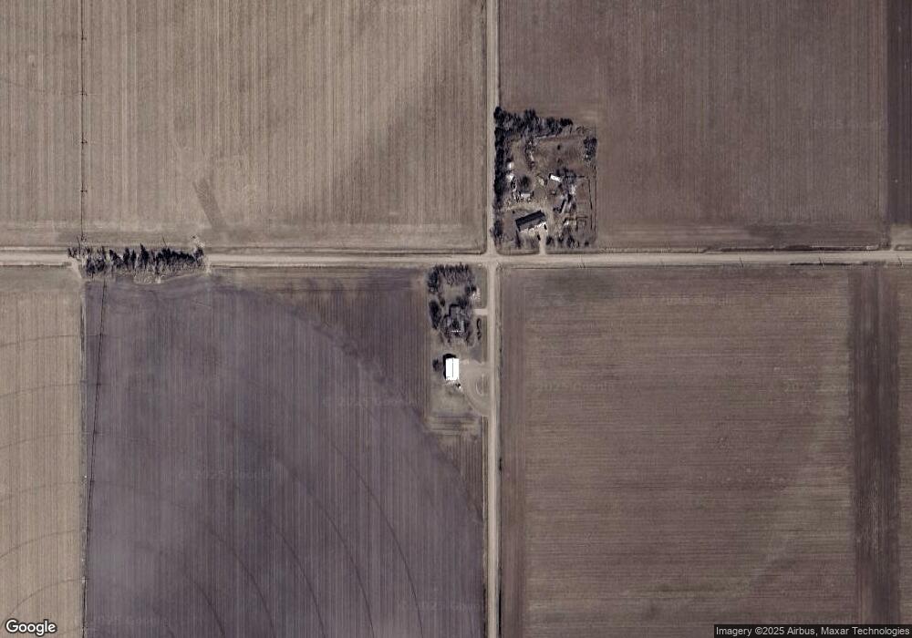
Map
Nearby Homes
- 110 S Laclede St
- 130 N Walnut St
- 665 Leonard Ave
- 115 S Pine St
- 550 Pawnee Ave
- 415 Olive St
- Tbd 20th Rd
- 418 W Amity St
- TBD 20th Rd
- 1829 Mallard Dr
- 308 E Amity St
- 103 E Barton St
- 00 121st Rd
- 1048 Silverline Dr Unit Lot 48
- 1048 Silverline Dr
- 1070 Red Admiral Dr Unit Lot 70
- 1064 Red Admiral Dr Unit Lot 64
- 1064 Red Admiral Dr
- 1070 Red Admiral Dr
- 1030 Woodwhite Dr