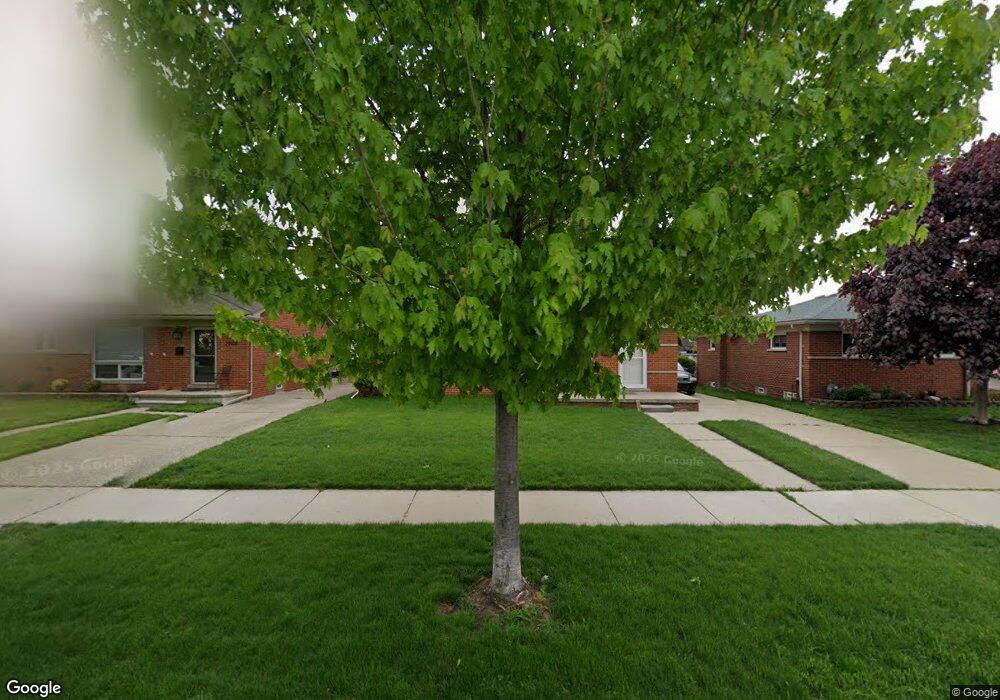
29098 Spoon Ave Madison Heights, MI 48071
Estimated Value: $206,000 - $254,000
3
Beds
1
Bath
1,008
Sq Ft
$233/Sq Ft
Est. Value
About This Home
This home is located at 29098 Spoon Ave, Madison Heights, MI 48071 and is currently estimated at $234,500, approximately $232 per square foot. 29098 Spoon Ave is a home located in Oakland County with nearby schools including Lamphere High School, Keys Grace Academy, and Calvary Christian School.
Ownership History
Date
Name
Owned For
Owner Type
Purchase Details
Closed on
Jul 31, 2015
Sold by
Thomasin Dennis J and Tomasin Emily A
Bought by
Tomasin Dennis J
Current Estimated Value
Purchase Details
Closed on
Apr 9, 2010
Sold by
Tomasin Emily A
Bought by
Tomasin Emily A and Tomasin Dennis J
Purchase Details
Closed on
Apr 6, 2009
Sold by
Tomasin Emily A and Tomasin Dennis J
Bought by
Tomasin Emily A
Purchase Details
Closed on
Mar 20, 2008
Sold by
Tomasin Emily A
Bought by
Tomasin Emily A and Tomasin Dennis J
Purchase Details
Closed on
Jun 30, 2004
Sold by
Tomasin Emily A and Tomasin Dennis James
Bought by
Tomasin Emily A
Purchase Details
Closed on
Jun 26, 2001
Sold by
Tomasin Emily A
Bought by
Tomasin Emily A
Purchase Details
Closed on
Feb 4, 1999
Sold by
Boutwell Darlene A
Bought by
Tomasin Anton J
Create a Home Valuation Report for This Property
The Home Valuation Report is an in-depth analysis detailing your home's value as well as a comparison with similar homes in the area
Home Values in the Area
Average Home Value in this Area
Purchase History
| Date | Buyer | Sale Price | Title Company |
|---|---|---|---|
| Tomasin Dennis J | -- | None Available | |
| Tomasin Emily A | -- | None Available | |
| Tomasin Emily A | -- | None Available | |
| Tomasin Emily A | -- | None Available | |
| Tomasin Emily A | -- | -- | |
| Tomasin Emily A | -- | -- | |
| Tomasin Anton J | -- | -- |
Source: Public Records
Tax History Compared to Growth
Tax History
| Year | Tax Paid | Tax Assessment Tax Assessment Total Assessment is a certain percentage of the fair market value that is determined by local assessors to be the total taxable value of land and additions on the property. | Land | Improvement |
|---|---|---|---|---|
| 2024 | $1,960 | $88,270 | $0 | $0 |
| 2023 | $1,883 | $78,880 | $0 | $0 |
| 2022 | $2,190 | $71,690 | $0 | $0 |
| 2021 | $2,164 | $67,220 | $0 | $0 |
| 2020 | $1,762 | $63,790 | $0 | $0 |
| 2019 | $2,061 | $59,750 | $0 | $0 |
| 2018 | $2,030 | $53,150 | $0 | $0 |
| 2017 | $1,998 | $53,150 | $0 | $0 |
| 2016 | $1,917 | $46,560 | $0 | $0 |
| 2015 | -- | $42,070 | $0 | $0 |
| 2014 | -- | $35,890 | $0 | $0 |
| 2011 | -- | $37,530 | $0 | $0 |
Source: Public Records
Map
Nearby Homes
- 29118 Sherry Ave
- 1922 N Wilson Ave
- 1939 N Connecticut Ave
- 2225 N Connecticut Ave
- 1208 E 12 Mile (Corner Lot) Rd
- 1208 E 12 Mile (Eastern Lot) Rd
- 1208 E 12 Mile (Center Lot) Rd
- 2414 N Connecticut Ave
- 1116 Symes Ct
- 2500 N Wilson Ave
- 1029 Symes Ct
- 1019 N Edgeworth Ave
- 1018 E 12 Mile Rd
- 28349 Hampden St
- 2451 N Connecticut Ave
- 2517 N Wilson Ave
- 905 W Parker Ave
- 1117 N Vermont Ave
- 2521 N Vermont Ave
- 812 N Edison Ave
- 29108 Spoon Ave
- 29088 Spoon Ave
- 29118 Spoon Ave
- 29078 Spoon Ave
- 29101 Sherry Ave
- 29091 Sherry Ave
- 29111 Sherry Ave
- 29121 Sherry Ave
- 29068 Spoon Ave
- 29128 Spoon Ave
- 29079 Sherry Ave
- 29095 Spoon Ave
- 29105 Spoon Ave
- 29085 Spoon Ave
- 29131 Sherry Ave
- 29058 Spoon Ave
- 29138 Spoon Ave
- 29075 Spoon Ave
- 29115 Spoon Ave
- 29065 Sherry Ave