291 Barrett Rd Bowdon, GA 30108
Estimated Value: $255,000 - $270,818
4
Beds
2
Baths
1,836
Sq Ft
$144/Sq Ft
Est. Value
About This Home
This home is located at 291 Barrett Rd, Bowdon, GA 30108 and is currently estimated at $263,705, approximately $143 per square foot. 291 Barrett Rd is a home located in Carroll County with nearby schools including Bowdon Elementary School, Bowdon Middle School, and Bowdon High School.
Ownership History
Date
Name
Owned For
Owner Type
Purchase Details
Closed on
Apr 18, 2018
Sold by
Russell Daniel R
Bought by
Daniel Derek Russell and Daniel Kristin Michelle
Current Estimated Value
Home Financials for this Owner
Home Financials are based on the most recent Mortgage that was taken out on this home.
Original Mortgage
$42,750
Outstanding Balance
$12,922
Interest Rate
4.45%
Mortgage Type
New Conventional
Estimated Equity
$250,783
Purchase Details
Closed on
Jan 28, 1993
Sold by
Daniel
Bought by
Daniel R Corrective
Purchase Details
Closed on
Aug 16, 1990
Bought by
Daniel
Create a Home Valuation Report for This Property
The Home Valuation Report is an in-depth analysis detailing your home's value as well as a comparison with similar homes in the area
Home Values in the Area
Average Home Value in this Area
Purchase History
| Date | Buyer | Sale Price | Title Company |
|---|---|---|---|
| Daniel Derek Russell | $45,000 | -- | |
| Daniel R Corrective | -- | -- | |
| Daniel | -- | -- |
Source: Public Records
Mortgage History
| Date | Status | Borrower | Loan Amount |
|---|---|---|---|
| Open | Daniel Derek Russell | $42,750 |
Source: Public Records
Tax History Compared to Growth
Tax History
| Year | Tax Paid | Tax Assessment Tax Assessment Total Assessment is a certain percentage of the fair market value that is determined by local assessors to be the total taxable value of land and additions on the property. | Land | Improvement |
|---|---|---|---|---|
| 2024 | $1,947 | $100,163 | $5,487 | $94,676 |
| 2023 | $1,947 | $90,381 | $4,390 | $85,991 |
| 2022 | $1,806 | $72,009 | $2,926 | $69,083 |
| 2021 | $1,671 | $71,610 | $2,341 | $69,269 |
| 2020 | $1,525 | $63,394 | $2,128 | $61,266 |
| 2019 | $1,499 | $57,909 | $2,128 | $55,781 |
| 2018 | $1,008 | $48,152 | $1,269 | $46,883 |
| 2017 | $1,010 | $48,152 | $1,269 | $46,883 |
| 2016 | $1,010 | $48,152 | $1,269 | $46,883 |
| 2015 | $722 | $29,805 | $2,383 | $27,422 |
| 2014 | $725 | $29,805 | $2,383 | $27,422 |
Source: Public Records
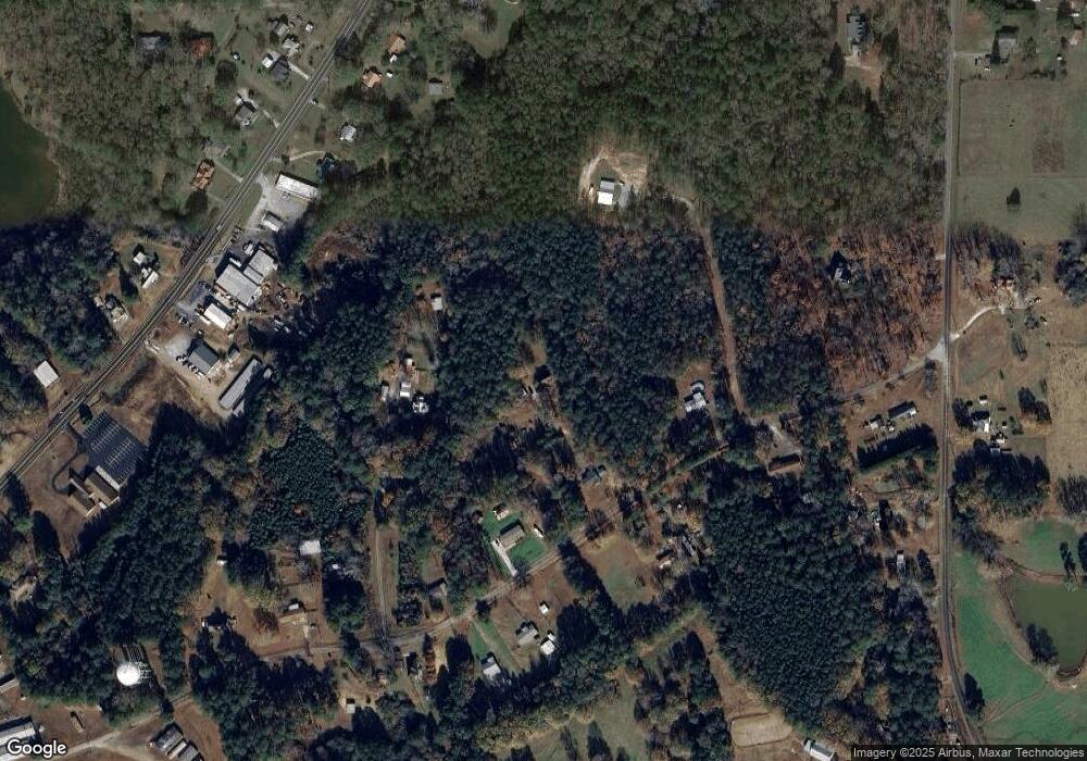
Map
Nearby Homes
- Plan 1709 at Scarlett Place
- Plan 2709 at Scarlett Place
- Plan 2316 at Scarlett Place
- Plan 1902 at Scarlett Place
- Plan 2100 at Scarlett Place
- Plan 1643 at Scarlett Place
- Plan 2307 at Scarlett Place
- Plan 2131 at Scarlett Place
- 112 Scarlett Place Dr
- 132 Scarlett Place Dr
- 216 Rhett Dr
- 145 Scarlett Place Dr
- 145 Scarlett Place Dr Unit 18
- 305 Scarlett Place Dr
- 309 Scarlett Place Dr
- 153 Scarlett Place Dr
- 305 Melanie Ct
- 156 Scarlett Place Dr
- 243 Barrett Rd
- 237 Barrett Rd
- 207 Barrett Rd
- 195 Barrett Rd
- 311 Barrett Rd
- 276 Barrett Rd
- 219 Barrett Rd
- 230 Barrett Rd
- 222 Barrett Rd
- 367 Dixon Rd
- 178 Barrett Rd Unit 137
- 178 Barrett Rd
- 850 E College St
- 834 E College St
- 836 E College St
- 828 Highway 166 E Unit 828/830
- 169 Barrett Rd
- 437 Dixon Rd
- 854 E College St
- 0 E College St Unit 8015598