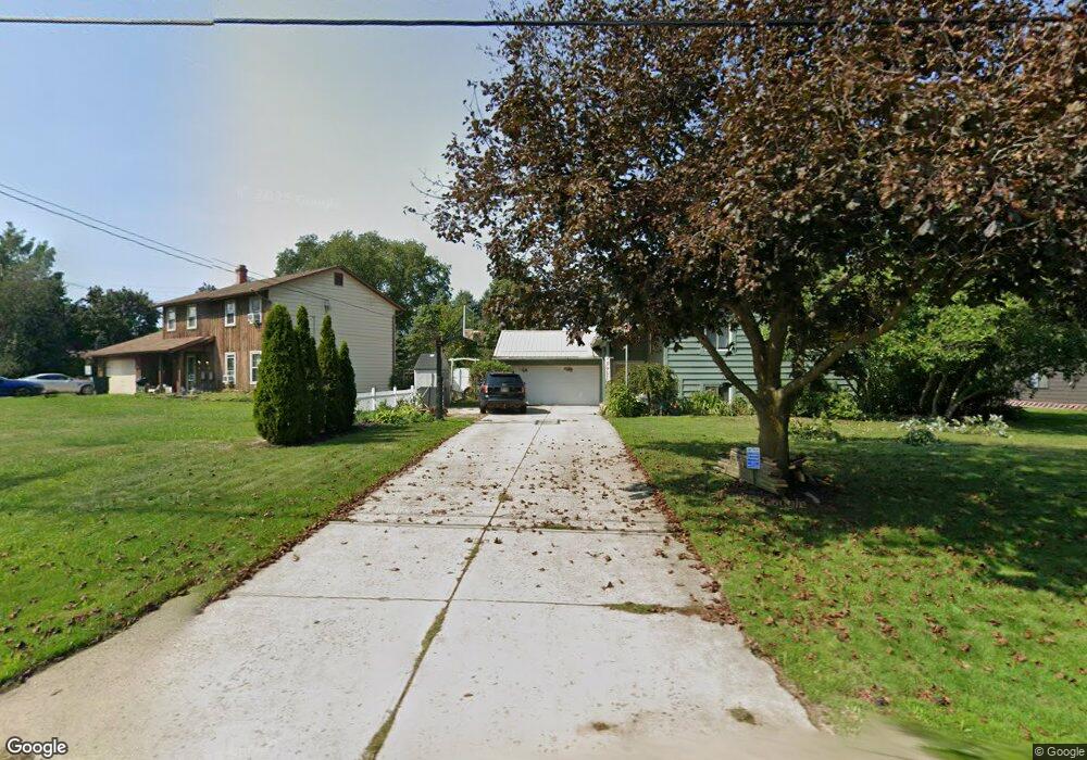
291 Bowhall Rd Painesville, OH 44077
Estimated Value: $253,000 - $271,000
4
Beds
3
Baths
1,228
Sq Ft
$215/Sq Ft
Est. Value
About This Home
This home is located at 291 Bowhall Rd, Painesville, OH 44077 and is currently estimated at $264,422, approximately $215 per square foot. 291 Bowhall Rd is a home located in Lake County with nearby schools including Henry F. Lamuth Middle School, Riverside Junior/Senior High School, and Summit Academy Community School - Painesville.
Ownership History
Date
Name
Owned For
Owner Type
Purchase Details
Closed on
Nov 21, 1994
Sold by
Chew Thomas B
Bought by
Ponsart Allen E and Ponsart Michele L
Current Estimated Value
Home Financials for this Owner
Home Financials are based on the most recent Mortgage that was taken out on this home.
Original Mortgage
$118,750
Interest Rate
7.75%
Mortgage Type
New Conventional
Create a Home Valuation Report for This Property
The Home Valuation Report is an in-depth analysis detailing your home's value as well as a comparison with similar homes in the area
Home Values in the Area
Average Home Value in this Area
Purchase History
| Date | Buyer | Sale Price | Title Company |
|---|---|---|---|
| Ponsart Allen E | $125,000 | -- |
Source: Public Records
Mortgage History
| Date | Status | Borrower | Loan Amount |
|---|---|---|---|
| Closed | Ponsart Allen E | $118,750 |
Source: Public Records
Tax History Compared to Growth
Tax History
| Year | Tax Paid | Tax Assessment Tax Assessment Total Assessment is a certain percentage of the fair market value that is determined by local assessors to be the total taxable value of land and additions on the property. | Land | Improvement |
|---|---|---|---|---|
| 2024 | -- | $75,790 | $19,370 | $56,420 |
| 2023 | $6,593 | $60,500 | $15,550 | $44,950 |
| 2022 | $3,544 | $60,500 | $15,550 | $44,950 |
| 2021 | $3,557 | $60,500 | $15,550 | $44,950 |
| 2020 | $3,504 | $52,610 | $13,520 | $39,090 |
| 2019 | $3,531 | $52,610 | $13,520 | $39,090 |
| 2018 | $3,542 | $49,500 | $12,430 | $37,070 |
| 2017 | $3,433 | $49,500 | $12,430 | $37,070 |
| 2016 | $3,023 | $49,500 | $12,430 | $37,070 |
| 2015 | $2,833 | $49,500 | $12,430 | $37,070 |
| 2014 | $2,880 | $49,500 | $12,430 | $37,070 |
| 2013 | $2,815 | $49,500 | $12,430 | $37,070 |
Source: Public Records
Map
Nearby Homes
- 1182 Dalton Dr
- 1172 Dalton Dr
- 44 Grove Ave
- 55 Grove Ave
- 396 Park Rd
- 43 Bristol Ave
- 500 Park Rd
- 302 Maplebrook Dr Unit 302
- V/L Morgan Dr
- 1627 Cottontail Ct Unit 9
- 728 Bowhall Rd
- 67 Tanners Farm Dr
- 525 Morgan Dr
- 65 Tanners Farm Dr
- 54 Park Rd
- 65 Country Ln
- 0 N Ridge Rd Unit 5110949
- 238 Radley Dr
- 1809 Muirfield Ln
- 5406 Pebble Creek Ln
- 301 Bowhall Rd
- 281 Bowhall Rd
- 290 Hawk Ridge Dr
- 1257 Dorothea Dr
- 309 Bowhall Rd
- 300 Hawk Ridge Dr
- 296 Bowhall Rd
- 302 Bowhall Rd
- 261 Bowhall Rd
- 306 Bowhall Rd
- 1256 Dorothea Dr
- 320 Bowhall Rd
- 1255 Dorothea Dr
- 274 Bowhall Rd
- 251 Bowhall Rd
- 291 Hawk Ridge Dr
- 1254 Dorothea Dr
- 301 Hawk Ridge Dr
- 241 Bowhall Rd
- 305 Hawk Ridge Dr