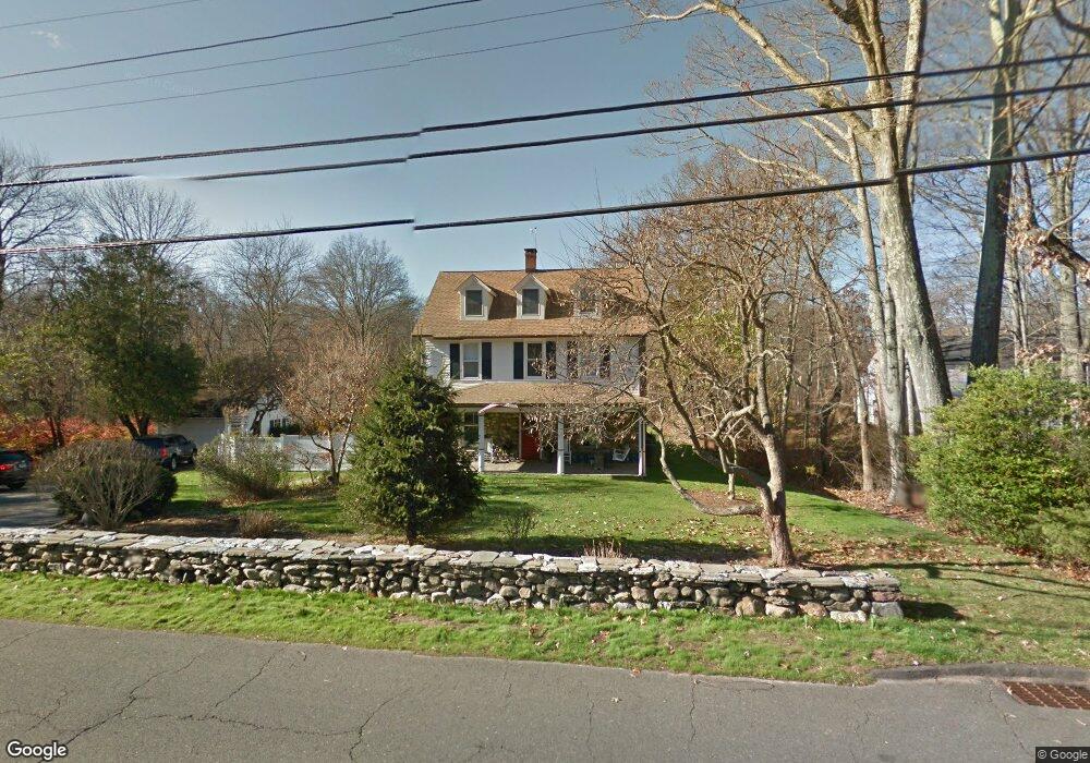
291 Brookside Rd Darien, CT 06820
Estimated Value: $2,393,000 - $2,928,000
3
Beds
3
Baths
4,005
Sq Ft
$682/Sq Ft
Est. Value
About This Home
This home is located at 291 Brookside Rd, Darien, CT 06820 and is currently estimated at $2,731,902, approximately $682 per square foot. 291 Brookside Rd is a home located in Fairfield County with nearby schools including Ox Ridge Elementary School, Middlesex Middle School, and Darien High School.
Ownership History
Date
Name
Owned For
Owner Type
Purchase Details
Closed on
Jun 29, 2018
Sold by
Long Neck Properties L
Bought by
Steinkraus Eric
Current Estimated Value
Purchase Details
Closed on
Jun 6, 1996
Sold by
Hill Mark A and Hill Ann T
Bought by
Steinkraus Edward
Create a Home Valuation Report for This Property
The Home Valuation Report is an in-depth analysis detailing your home's value as well as a comparison with similar homes in the area
Home Values in the Area
Average Home Value in this Area
Purchase History
| Date | Buyer | Sale Price | Title Company |
|---|---|---|---|
| Steinkraus Eric | -- | -- | |
| Steinkraus Philip | -- | -- | |
| Steinkraus Edward | $590,000 | -- |
Source: Public Records
Mortgage History
| Date | Status | Borrower | Loan Amount |
|---|---|---|---|
| Previous Owner | Steinkraus Edward | $300,000 | |
| Previous Owner | Steinkraus Edward | $188,721 | |
| Previous Owner | Steinkraus Edward | $300,000 |
Source: Public Records
Tax History
| Year | Tax Paid | Tax Assessment Tax Assessment Total Assessment is a certain percentage of the fair market value that is determined by local assessors to be the total taxable value of land and additions on the property. | Land | Improvement |
|---|---|---|---|---|
| 2025 | $24,857 | $1,605,730 | $1,050,840 | $554,890 |
| 2024 | $23,588 | $1,605,730 | $1,050,840 | $554,890 |
| 2023 | $20,838 | $1,183,280 | $817,320 | $365,960 |
| 2022 | $20,388 | $1,183,280 | $817,320 | $365,960 |
| 2021 | $19,926 | $1,183,280 | $817,320 | $365,960 |
| 2020 | $19,358 | $1,183,280 | $817,320 | $365,960 |
| 2019 | $19,489 | $1,183,280 | $817,320 | $365,960 |
| 2018 | $12,035 | $1,171,870 | $875,700 | $296,170 |
| 2017 | $18,937 | $1,171,870 | $875,700 | $296,170 |
| 2016 | $18,480 | $1,171,870 | $875,700 | $296,170 |
| 2015 | $17,988 | $1,171,870 | $875,700 | $296,170 |
| 2014 | $17,590 | $1,171,870 | $875,700 | $296,170 |
Source: Public Records
Map
Nearby Homes
- 15 Marianne Rd
- 20 Marianne Rd
- 7 Tommys Ln
- 63 Dorchester Rd
- 201 W Norwalk Rd
- 7 Buttonwood Ln
- 561 Middlesex Rd
- 45 Princes Pine Rd
- 12 Dellwood Rd
- 9 Point o Woods Rd S
- 97 Richards Ave Unit B10
- 29 Richmond Dr
- 105 Richards Ave Unit 1407
- 28 Crooked Mile Rd
- 6 Ward Ln Unit 6
- 1 Douglas Dr
- 5 Wheat Ln
- 7 Douglas Dr
- 192 Gillies Ln
- 10 Ledgebrook Dr Unit 1
- 297 Brookside Rd
- 285 Brookside Rd
- 300 Brookside Rd
- 283 Brookside Rd
- 1 Gracie Ln
- 74 Salisbury Rd
- 3 Gracie Ln
- 275 Brookside Rd
- 62 Salisbury Rd
- 2 Gracie Ln
- 83 Salisbury Rd
- 298 Brookside Rd
- 5 Gracie Ln
- 268 Brookside Rd
- 320 Brookside Rd
- 48 Salisbury Rd
- 4 Gracie Ln
- 267 Brookside Rd
- 4 Marianne Rd
- 118 Pembroke Rd
Your Personal Tour Guide
Ask me questions while you tour the home.