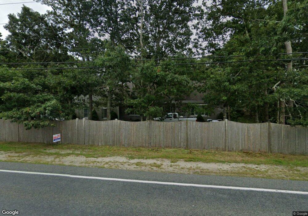
291 Buck Island Rd West Yarmouth, MA 02673
West Yarmouth NeighborhoodEstimated Value: $623,000 - $920,825
2
Beds
3
Baths
1,980
Sq Ft
$407/Sq Ft
Est. Value
About This Home
This home is located at 291 Buck Island Rd, West Yarmouth, MA 02673 and is currently estimated at $804,956, approximately $406 per square foot. 291 Buck Island Rd is a home located in Barnstable County with nearby schools including Dennis-Yarmouth Regional High School, Sturgis Charter Public School, and Kiddie Kollege Early Learning Center.
Ownership History
Date
Name
Owned For
Owner Type
Purchase Details
Closed on
Jul 7, 2015
Sold by
Johnson Nancy L
Bought by
West Yarmouth Series 1
Current Estimated Value
Purchase Details
Closed on
Oct 29, 1999
Sold by
Lawler Jane K and Lawler William P
Bought by
Johnson Nancy L
Home Financials for this Owner
Home Financials are based on the most recent Mortgage that was taken out on this home.
Original Mortgage
$212,050
Interest Rate
7.78%
Mortgage Type
Purchase Money Mortgage
Create a Home Valuation Report for This Property
The Home Valuation Report is an in-depth analysis detailing your home's value as well as a comparison with similar homes in the area
Home Values in the Area
Average Home Value in this Area
Purchase History
| Date | Buyer | Sale Price | Title Company |
|---|---|---|---|
| West Yarmouth Series 1 | -- | -- | |
| Johnson Nancy L | $68,500 | -- |
Source: Public Records
Mortgage History
| Date | Status | Borrower | Loan Amount |
|---|---|---|---|
| Previous Owner | Johnson Nancy L | $212,050 |
Source: Public Records
Tax History Compared to Growth
Tax History
| Year | Tax Paid | Tax Assessment Tax Assessment Total Assessment is a certain percentage of the fair market value that is determined by local assessors to be the total taxable value of land and additions on the property. | Land | Improvement |
|---|---|---|---|---|
| 2025 | $7,021 | $991,700 | $285,500 | $706,200 |
| 2024 | $6,392 | $866,100 | $217,400 | $648,700 |
| 2023 | $6,587 | $812,200 | $253,900 | $558,300 |
| 2022 | $6,197 | $675,000 | $230,800 | $444,200 |
| 2021 | $5,803 | $607,000 | $230,800 | $376,200 |
| 2020 | $5,542 | $554,200 | $218,700 | $335,500 |
| 2019 | $5,103 | $505,200 | $218,700 | $286,500 |
| 2018 | $4,904 | $476,600 | $190,100 | $286,500 |
| 2017 | $4,395 | $438,600 | $152,100 | $286,500 |
| 2016 | $4,377 | $438,600 | $152,100 | $286,500 |
| 2015 | -- | $445,700 | $161,600 | $284,100 |
Source: Public Records
Map
Nearby Homes
- 11 Elizabeth Ln
- 300 Buck Island Rd Unit 8B
- 300 Buck Island Rd Unit 13F
- 300 Buck Island Rd Unit C13F
- 9 Roberta Dr
- 8 Nobby Ln
- 222 Buck Island Rd Unit 3-4
- 2 Ocean Spray Ln
- 6 Checkerberry Ln
- 441 Buck Island Rd Unit G3
- 441 Buck Island Rd Unit G3
- 441 Buck Island Rd Unit E5
- 441 Buck Island Rd Unit B1
- 441 Buck Island Rd Unit E1
- 12 Denver Dr
- 38 Traders Ln
- 38 Traders Ln
- 481 Buck Island Rd Unit 9AA
- 481 Buck Island Rd Unit 17FA
- 503 Route 28 Unit 15
- 285 Buck Island Rd
- 295 Buck Island Rd
- 301 Buck Island Rd
- 277 Buck Island Rd
- 8 Jannor Way
- 8 Jannor Way Unit 1
- 6 Jannor Way
- 267 Buck Island Rd
- 4 Jannor Way
- 10 Jannor Way
- 300 Buck Island Unit 11 F Rd
- 0 Jannor Way
- 263 Buck Island Rd
- 9 Pump House Ln
- 9 Pump House Ln Unit 1
- 5 Jannor Way
- 3 Pump House Ln
- 9 Jannor Way
- 11 Pump House Ln
- 11 Pumphouse Ln